Fiume Chiusella (Middle)
| Stretch: | Near Succinto (or up at Fondo) to Chiara (or down to Traversella) |
| Difficulty: | Class V |
| Distance: | 1.2 miles (or add above and below) (took us ~2.5 to 3 hours) |
| Flows: | ~150 to 450 cfs. |
| Gradient: | 303 fpm average |
| Put-in: | If the water is high, small trail just upstream of the road crossing. If the water is low... in Fondo. |
| Take-out: | Either at the campground on a small paved spur road or upstream at the Roman bridge or downstream at Traversella) |
| Shuttle: | ~2 miles (5 minutes) |
| Season: | Spring from rain/snowmelt |
| Written: | © 2014 |
| Featured in Video A Wet State #90 and in A Wet State's contribution to World Kayak's Video Guide | |
Piemonte / Ticino 2014: Day 3
The Chiusella is a very well-known classic in the Aosta Valley area which is about a 2.5 hour drive from Campertogno deep in Val Sesia. The river is known for its granite bedrock drops. It is featured on the cover of the UK Piemonte online guidebook... and as such it quickly hit my list of desired runs.
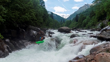
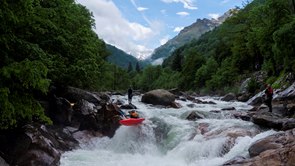
We left Campertogno at 8 am to start driving... the sun was shining and the drive went quick. As we arrive though we are told that it has been raining cats and dogs in the mountains all night. And no sooner than they finished telling us that, than it once again started raining hard. Upon inspection of the most famous drops on the Chiussella, it was obvious the flow was high, too high to safely run those drops. But, luckily with the Chiusella, when the river is high... you can put in below those three drops and continue downstream... and go past the normal take out and getting an additional km of fantastic whitewater. Some in our group still had not had their fill and decided to continue on even further though most of our group was still too tuckered from jet lag and two full days of boating.
The run starts off which some very nice bedrock. 20 feet below put in is a large drop that goes much better than it looks. The bedrock quickly changes to boulder gardens once you pass under the road bridge. Most of the group portaged one particularly congested rapid early on. Near the normal take out is a large slide with a tricky hole and pocket eddy to avoid. Downstream the boulder gardens ratchet up a step. Getting steeper, harder, and more consequential. I feel that this section of river is the hardest that we did on our trip. Steep drops with powerful holes in and amongst sieves. Halfway through this lower section we once again portaged a junky rapid that had no clean lines. Below, the river let up to class IV+ and ended with one super nice boof. Take out was at a camp that is expensive to stay at, but if you are in need of a shower they are only 1 Euro. 3 members of the team decided to continue down to Traversella and reported less portaging and overall easier whitewater. From the road on the drive in, this section did not look overall that inspiring... but they said it was fun.
That night we camped up in Fondo at the uppermost put-in for the Chiusella. There is a small dirt lot and even a small restaurant. The latter being quite surprising as Fondo strikes me as a forgotten village that I wouldn't be surprised if it were abandoned 100 years ago. But alas, folks still live there. Sadly, our 11 team members that night were too many for the restaurant to serve so instead we drank our 1 Euro wine and cook gnocchi ourselves.
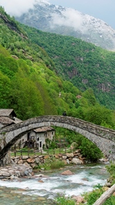
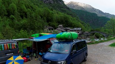
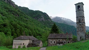
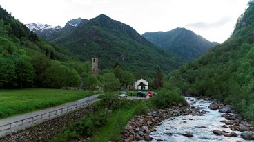
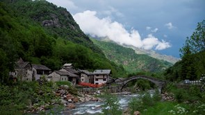
Also check out the Glanz brothers' (Harry and Reiner) blog for more outstanding pics from this trip
Mi 0:
- Falls (IV+). A big falls with more bark than bite. We ran down the left channel but cut back right just at the lip for a nice clean transition down to the hole below.
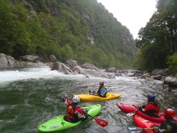
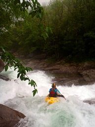
Go Left (IV). A quick scout on the right revealed an s-turning foldy rapid that was run down the center driving middle.
Small Falls (IV). Just below, and just above the road bridge, is a small falls. Start and stay far left.
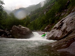
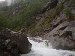
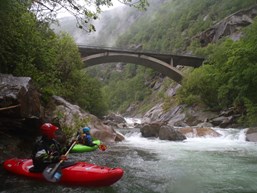
Portage? (V). A large, ugly, and very consequential rapid is next. We scouted from the left, which was a pain... scout right (and portage if need be). 3 in our group decided to run it and had great lines. A junky ledge at the top led to some holes, as long as you were shot right you were golden... left and it was into sieves.
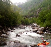
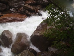
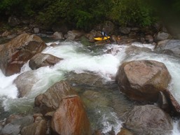
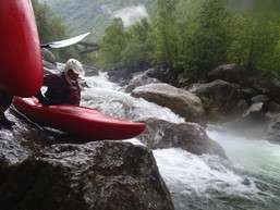
Junky Manky Mank (IV+). A long rapid that is the lamest part of the run. We started middle but quickly cut far and hard right and stayed over there for the crux of the junk pile. This then led down into another junky rapid that we went far left on. We then scouted a quick rapid before the river rejoined back to the right.
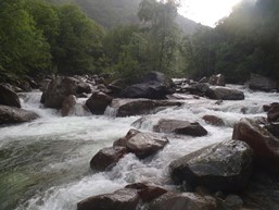
New Sieve (IV). So the rapid isn't bad, we scouted the lead in as it flushed directly to the main channel that use to be good to go but due to rock shiftage is now a sieve. The lead in was down the middle of a two tiered drop. Eddy out immediately. The exit was runnable in a far left micro channel. Diane pinned a bit while trying to squeeze through so I imagine at lower flows this isn't possible.
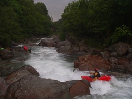
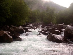
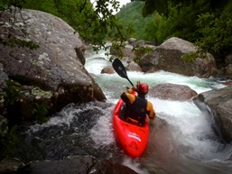
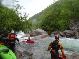
- Slide (V). A big slide should be scouted on the left. The slide drops into a large double hole, the first with a pocket on the left, the second with a pocket eddy on the right. The first you have so much speed everyone blasted straight through, the second some folks got pushed into but at our flows wasn't overly difficult to paddle out of.
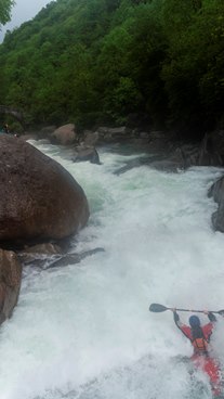
Roman Bridge (IV+). A big double boof is just below at the Roman bridge. We entered center and exited left of center. This is a common take-out location.
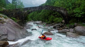
Double Drop (IV+ to V). A sticky double drop with a small eddy on the left between the two should be exited in the far left slot as the right is no go.
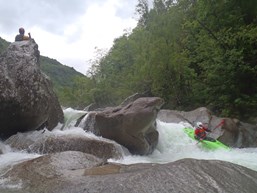
Two Part (V). Just below starts a complex rapid. The first part was run right to left in a chute against the shore. The second part was run down the middle with left angle to kick left before dropping into the run out.
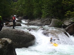
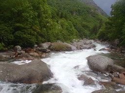
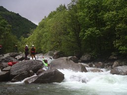
Portage (V+ to U). A unrunnable cascade was next, we portaged on the right.
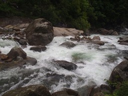
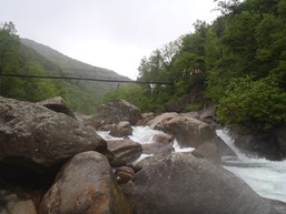
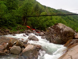
S-turn (IV). An S-turn rapid marked the home straight away. We started right but worked all the way left to not crash into rocks.
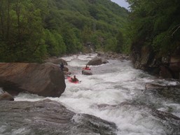
End Boof (IV). So so good. Just boof the horn at the bottom. Take-out here.
Directions: Use the GPS locations to get yourself to put-in and take-out... below is just the extra little info you may need
Take-out is at 45°31'07.4"N 7°43'13.8"E. Look for a small road drop steeply to a hotel and campground. It is about a half mile below the bridge you cross over the run.
Put-in is at 45°31'41.2"N 7°42'06.8"E which was not much more than a wider spot of the road just upstream of the bridge. Of if the water is lower you can go up to the end of the road in Fondo.
HTML Comment Box is loading comments...
