
Cheakamus River (Upper)
| Stretch: | Above the Cheakamus Lakes Rd |
| Difficulty: | Class IV+ |
| Distance: | 1.85 miles |
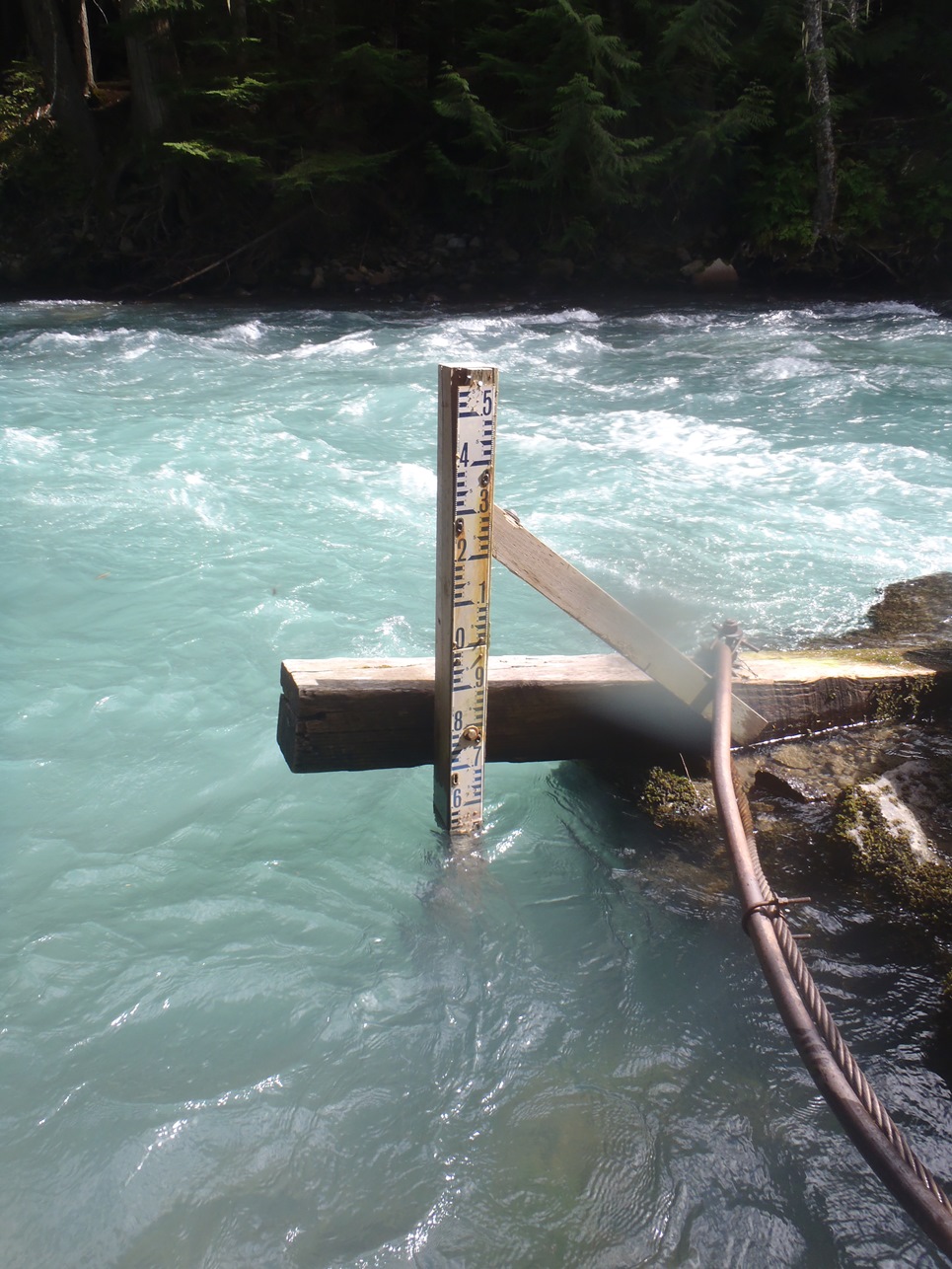
| Flows: | ~1.9 m (low) to 2.7+ (high) (visual gauge at the House Rock Take-out). Current Water Office gauge |
| Gradient: | 135 fpm average |
| Put-in: | At the Riparian Trail access close to the river (3 or 4 access points up the road) |
| Take-out: | House Rock parking area, near the treatment plant |
| Shuttle: | 2.6 km (5 minutes, ok dirt, one rough spot needing a little clearance) |
| Season: | It can be run anywhere from April / May (as soon as the snow on the road melts out) - typically high in May / June with all of the runoff (2.6 - 3.0), then goes slowly lower (2.5 - 2.7) until late August / September when it generally becomes too low (less than 2.2) |
| Written: | © 2013 |
| Featured in Video A Wet State #79 | |
Washington and BC 2013 Day 4, 5 and 7:
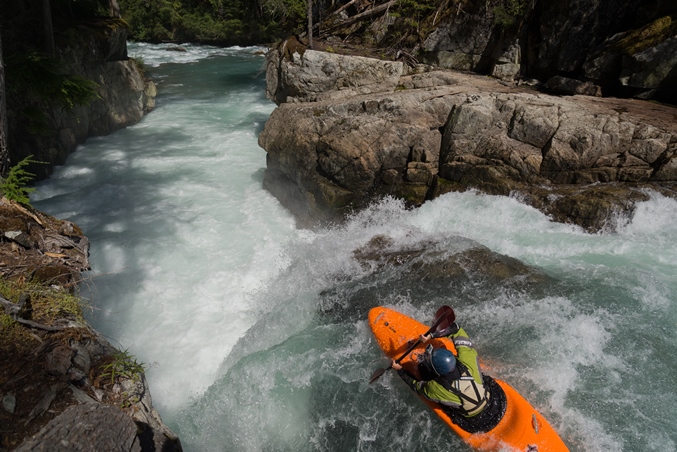
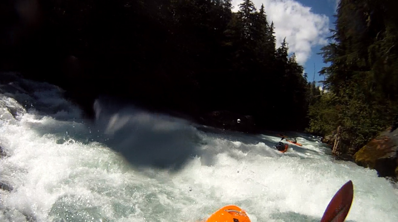
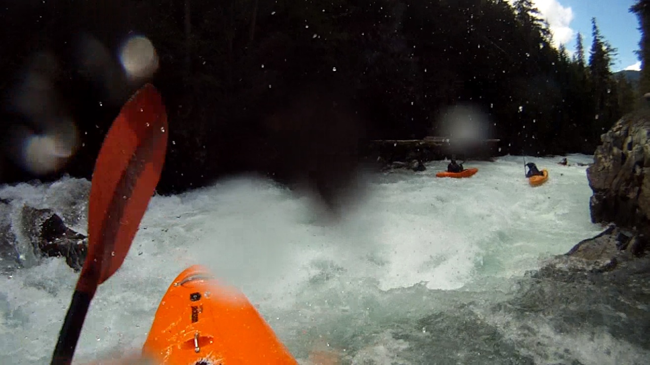
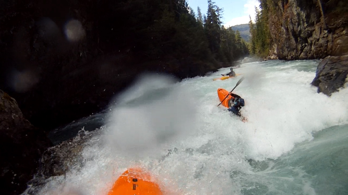
So many of the guidebooks call this class IV proclaiming that it is the rowdiest class IV that you will ever run. And that the first time you run it, it will feel class V, but by the third or fourth time you will find that there is nothing more consequential than class IV on the run. Now, I do not disagree... but, we were all in agreement that a class IV boater would not like this run at all. First off, it is legitimately continuous... in a way I have not experienced before. The 1.85 mile run can easily be done in 15 minutes once you have it figured out and don't attain below cruxes to ensure the group is safely through. Once you peal out of the eddy at put-in it is a non-stop ride until take-out. There is the put-in falls, one major crux in Triple Drop, and several other good unique rapids in the run. A swim however at any time would be a challenge to piece back together. The boat would likely take off, and the swimmer would be hard pressed to find an eddy at times. But for those up to the challenge, this is a classic section of white water. Easy shuttle and plenty of paddle strokes in addition to pleasant scenery.
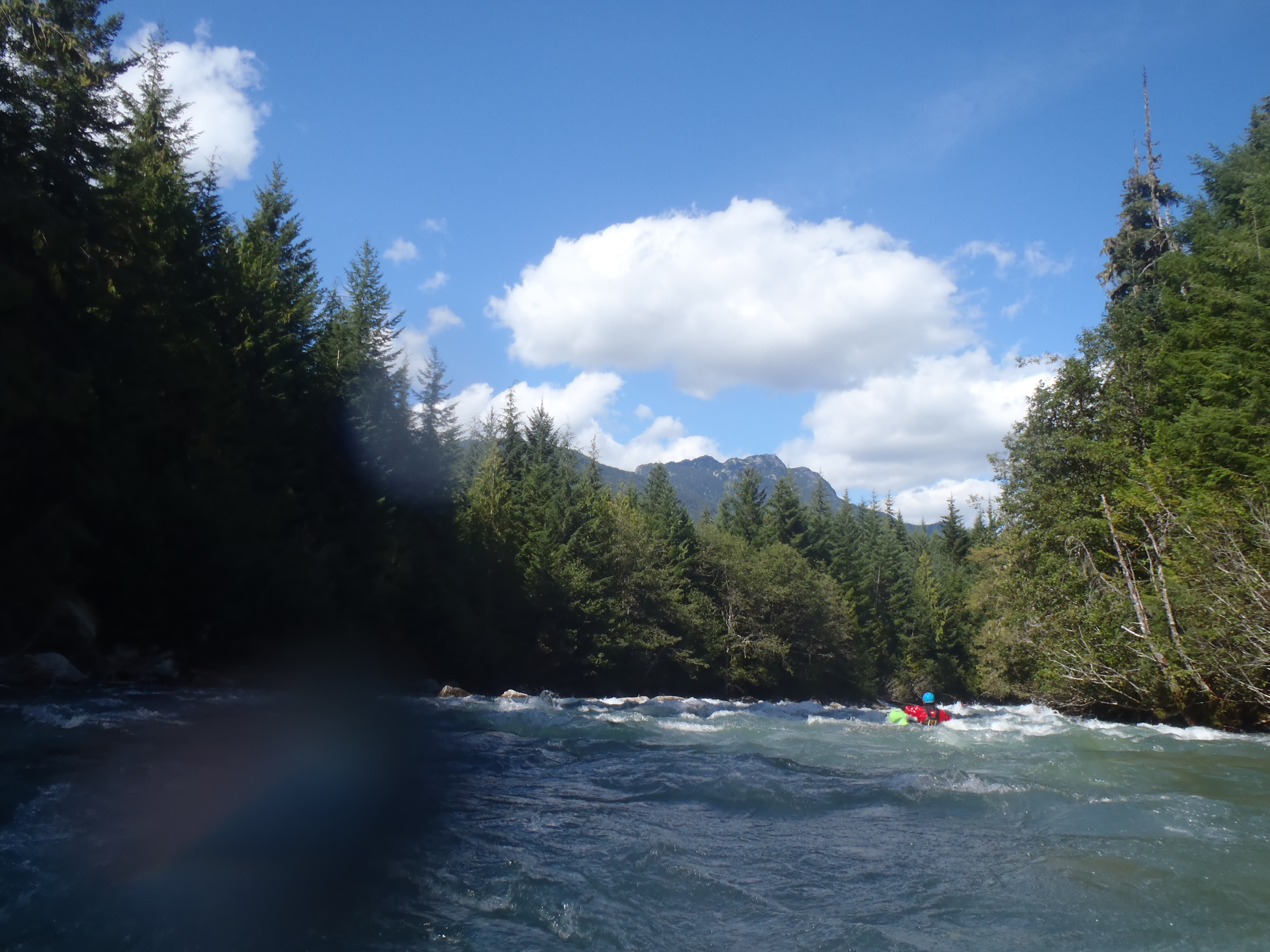
Some days we chose to lap this, other times we mixed it with the Callaghan and Soo, and one dawn patrol we even did it before heading over for an afternoon Rogers lap. That is the bright side of the short Whistler runs... plenty of mixing and matching to do.
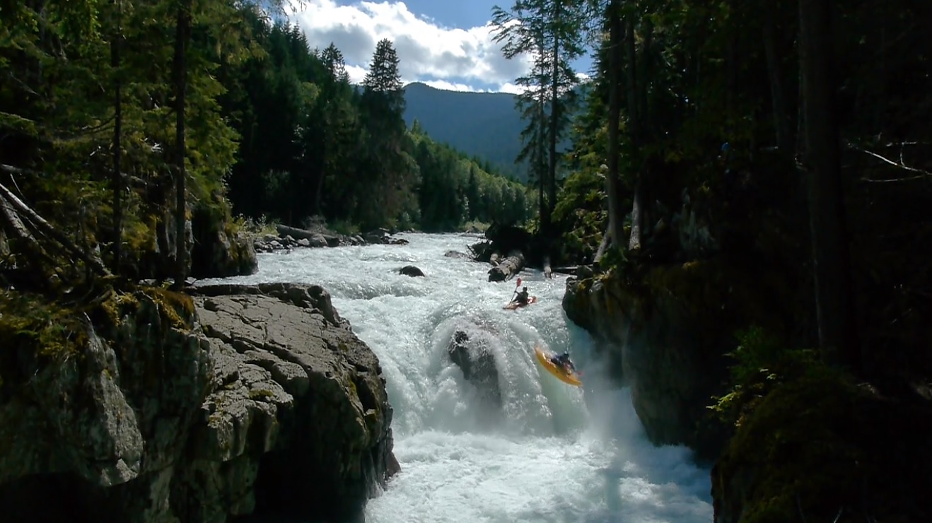
The highlight of the run is certainly the put-in falls. In the early 2000s the channel changed and moved to the other side of an island, opening up this falls. It is a nice 10 footer with a cross current that allows for you to launch boofs. But be aware, that wood is ever moving and at any point could lodge under water creating a hazard. That was a the case a year ago when a paddler plugged in and pinned on an underwater log and passed away. Locals went in at low water and removed the hazard, but I am sure the falls will get new wood at some point. So be careful and check in with locals prior to heading that way to check for the wood situation.
We did it at flows between 2.49 and 2.55 m. Both felt the same, though a little higher was actually easier for the put-in falls. Folks run it well above 3 m and well as much lower. I thought 2.55 was a great flow for the run and didn't feel it needed more or less to be perfect. But of course, I haven't done it higher or lower... higher would be fun too I imagine. Low flows may quickly take it down a notche and break the rapids up... which may take one of the major reasons we liked it away. Maybe next time I will get to experience it at different flows
Also check out LiquidLore.com for the final word on BC boating... Also, thanks to Philip Middleton for his input on the rapid names.
Also, check out Darin McQuoid's photos on his website, www.darinmcquoid.com
The rapids are literally one after the next. So below are just the few highlights with unique moves to make.
Mi 0.0:
- Put-in Falls (In Memory of Peter Thompson) (V). When you put in at the eddy at the lip, you're warm up strokes are literally paddling into your boof. The channel has a rock in the middle, the line is to boof the left edge of the rock and boof away from the pocket on the left wall. Soooo good.
Cobra (IV+). Two rapids in or so, you will see a warning sign on the right shore warning you to not get bit. I wonder if there is a snake that lives there? Anyways, the line is down the right, at the bottom move back to the center from one cushion to the other and punch the hole below. It looks big and scary as you drop in but also goes just fine.
- Down Under (IV). When you see a foot bridge overhead you know you are coming into the crux section. This first rapid is run down the center with a bit of a seam to boof over at the top. It then splits around a large rock with a fun boof off of the left edge when the flows are high enough. The Triple Drop is the next drop downstream.
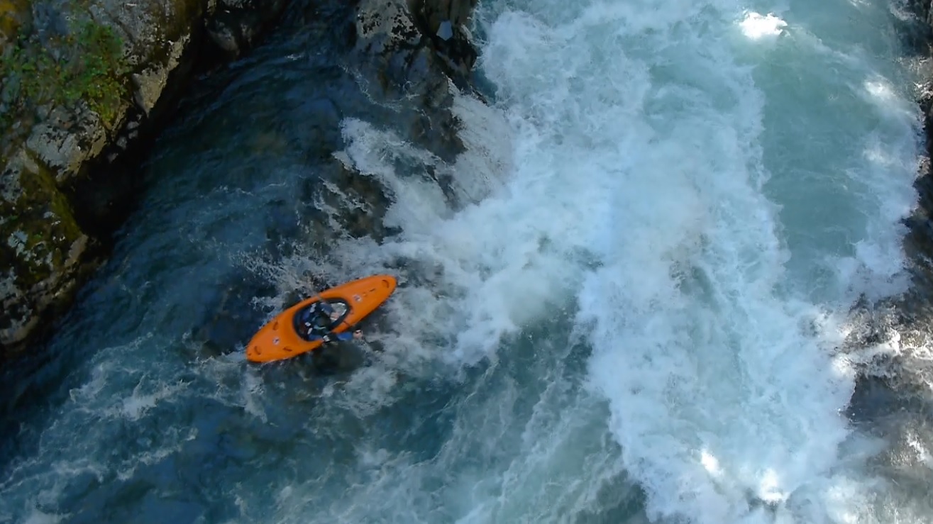
Triple Drop (IV+ to V-). Triple Drop starts down the right before you move to the left around the first hole. The first hole can also be boofed far right but then exposes you to the bottom hole. The bottom hole is immediately below and looks horrible on the right. You want to boof around it using the jut of rock on the far left. I would really hate to drop into that hole. The third drop is less consequential now that prior to 2003 and is just a small hole 50 yards down river run down the left.
Boogie continues to the end with several sections that are bordering on class IV+.
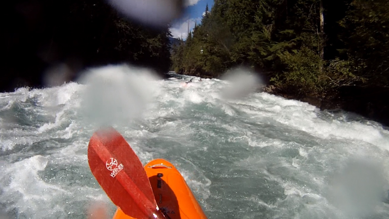
- U-Boat (IV). One rapid at the end pops into mind, on a right bend the river channels down to a large rock. The whole way down you fight to get left of the boulder.
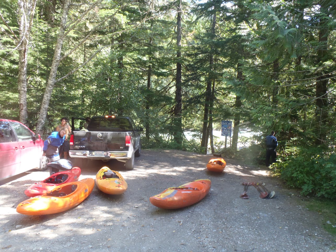
Take-out: 7.5 km South of Whistler on Highway 99 look for the Function Junction sign and Cheakamus Lakes Road. From Whistler, turn left on Cheakamus Lakes Rd. Take the first dirt road to the left (not the parking lot which is immediate on the left) which is Cheakamus Lakes Rd. You will cross the river and after 100 yards you will see a dirt road go left narrowly, follow it 100 feet to the open area and river access. As a side note, folks also choose to camp here for free. Also as another side note, If you go backt o Highway 99 and cross the Highway, directly in front of you down the road 100 feet is an auto shop that has unlocked internet (as of 2013).
Put-in: Go up Cheakamus Lakes road another 2.7 km. Look for the turnout on the left that has a Riparian Zone sign with a whole bunch of kayak stickers on it. Two trails drop, one goes to the right and one goes to the left. Take the one to the left to put-in at the lip of the falls or portage the falls. Putting in above can mean running the falls blind as a log blocks the eddy from upstream entry to scout the falls.
View Cheakemus, Upper in a larger map
HTML Comment Box is loading comments...