Chattooga River (Section 4)
| Stretch: | Route 76 bridge to Tugaloo Lake boat ramp |
| Difficulty: | Class III+ to IV+ |
| Distance: | 5.9 miles (+2.5 miles on the lake) |
| Flows: | 1.4' to ~5' (folks run it even higher, but there are other options if it is that high). Check out American Whitewater's current flow gauge. |
| Gradient: | 51.7 fpm average (Five Falls drops 76 ft in 0.35 miles) |
| Put-in: | Either right at the Route 76 bridge, or upstream a quarter mile at Bull Sluice |
| Take-out: | Boat ramp on Tugaloo Lake |
| Shuttle: | 12.5 miles, 30 minutes one-way. |
| Season: | Year round, rain (much less likely in summer/fall, but it does go sometimes) |
| Featured in Video A Wet State #97 | |
| Written: | © 2015 |
Lewis: The first explorers saw this country, saw it just like us.
Drew: I can imagine how they felt.
Bobby: [about the rapids] Yeah, we beat it, didn't we? Did we beat that?
Lewis: You don't beat it. You never beat the river chubby.
From "Deliverance"
The river which first registered in my life, and became famous in my mind thanks to its inclusion as the primary shoot location in the movie Deliverance. As I sat in California, having (at the time) never been to Appalachia I imagined a backwoods town that was just like the movie. As time went by though, and as my familiarity with the South East grew I knew that the movie was just that, a movie. And if the backwoodsness of the Chattooga ever existed, it was a different day in a different age. And I have to admit... I was a little disappointed.
The river however is a classic section of whitewater that is known for its dependable flow. If the river is raging, head upriver to the upper sections, if it is low, put in at Woodall for the main gorge at the bottom. The thing though that jumps out at me is that the river for only being class IVish, it quite dangerous. It's the type of river you are nervous for the weaker members of your group, and the solid boaters begin to get bored. But for thos who are class IV+ boaters I think this river offers a sweet spot of challenging rapids, consequences, and scenery that makes it a go to for folks in the region.
Depending on where you put in, you either start with a class IV or you can put in just below have a little bit of paddle in before things get going. It starts off as a wide river bed with a few tricky spots. Be mindful of the hole at Woodall and consider sneaking it on the right. As the river tightens up the true tests really start. Starting with 7 Foot falls and ending with the Five Falls just above the lake. When in doubt, scout as sieves are abound on the river. The main section of rapids last for 2.5 hours and all you have after is the lake paddle... so take your time and keep it safe!
And one final note, I put this in the South Carolina section because despite the fact that this river forms the border between South Carolina and Georgia, both put-in and take-out are on South Carolina land. Seems to me it fits there...
Mi 0.0:
- Bull Sluice (IV). Right at put-in, go right of center and boof. Going center moving left results in a piton, going to far right involves a horseshoe ledge hole.
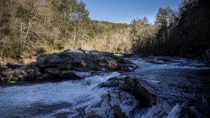
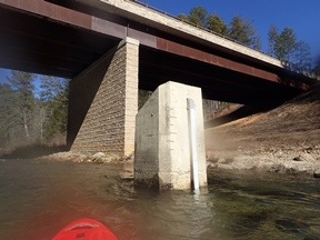
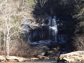
Boogie and a few cool rapids continue, one move called "Screaming Left Turn" had a fun overhang to boat under... and our day the overhang had pointy icicles hanging to teach you a lesson if you didn't grind enough of the rock around it.
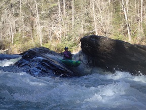
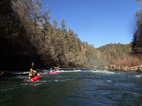
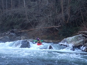
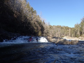
- Woodall Shoals (III to IV). You can sneak far right, or run a line just to the right of a rather large and depressed middle hole. You can scout from either side. There is also free camping here and this is an alternate put-in for low water days.
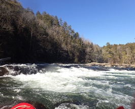
- 7 foot Falls (III+ to IV). A few nice rapids make the tightening of the walls obvious. As the river bends sharp left you see an obvious horizon line and know you are at 7 Foot Falls. Scout right. The line is to drive center moving right and grind the left side of the rock around the hole. Landing pointing right to stay off the undercut left bank.
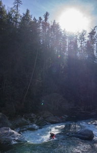
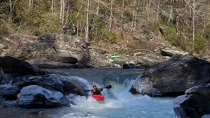
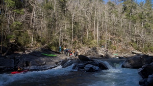
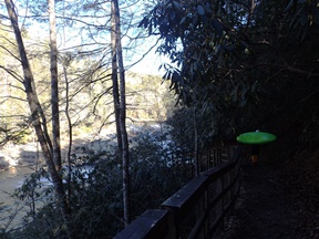
Did I mention there is some very nice scenery in here?
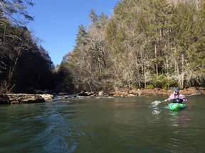
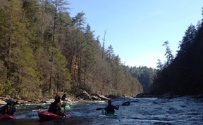
- Deliverance Rock (III). A fun rapid with a bunch of off angle waves pushing you away from a large set of rocks in the middle of the river. Unless you want to catch the large eddy between the two, just stay left. Be mindfull the bottom rock is a bit undercut.
- Ravens Chute (III to III+). A fun line down the left is doable, flirting a thin line that allows you to stay on the main slide of water. To the right of you is a hole, and to the left it slides into a wall. There was also a blind line in the center that offers a sliding boof, just scout your landing as there was also a really bad pin spot in the middle if you run the boof line too far middle.
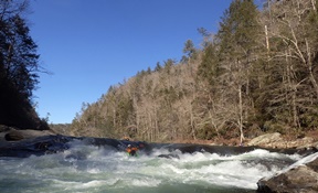
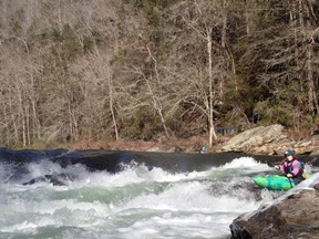
- Camp Creek. Made famous by the romance scene in the movie Deliverance. Just downstream is the Five Falls.
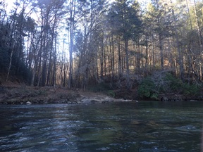
- Entrance (III+ to IV-). The easiest of the five, this rapid is begun on the left and as the rapid bends left drive to the right. There is a big eddy to catch. Then slide down the right hand side down the nice ramp.
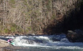
Corkscrew (IV to IV+). This rapid although only moderately difficult is consequential due to what is downstream. The rapid is run center moving left normally, just down drop down center moving right as there is a good sized hole there waiting for you. The currents can be tricky and a few in our group spun out and or flipped navigating them. Set Safety here and get swimmers to shore ASAP. As just downstream is...
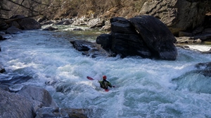
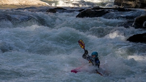
Crack in the Rock (IV). A wall of rocks that form several sieved out channels, do not swim into the far left nor far right channels. Don't swim into at all... but seriously those are no-gos. Apparently at higher flows some people run them. Most just run the middle channel which is just 1.5 boat widths wide and offers a completely boxed in hole. Keep it straight and don't plug!
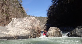
Jawbone (IV+). This was probably my favorite rapid as it had multiple moves to get down. We started off far right and ran the entrance moving back far left. There was an eddy at the lip of the bottom that you had to fight through a curler to achieve (if you didn't just straighten out and run it!). Below we ferried back to the middle and ran down the center down a nice ramp and through a hole at the bottom. There were also some nice challenge eddies to catch for those wanting to spice it up further.
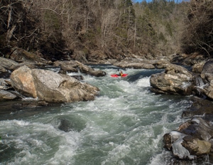
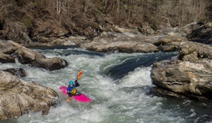
Sock em Dog (IV+). Scout right or left. There was a sneak on the far left. One in our group tried to boat scout into it and found themselves pitoning on the left and getting rejected into the meat of the hole. Only by the grace of god did they escape without a swim. The main line is down the middle boofing the peak of the rock just barely deflecting water up in the middle. This sends you over a rather large hole. Set safety here though below is a large recovery pool.
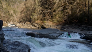
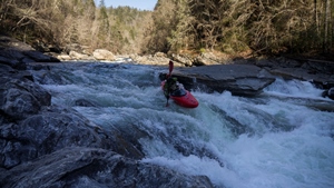
- Shoulderbone (III+). Just downstream of the recovery pool is the last good rapid. We ran center moving left making sure to avoid the icicle strewn ledge on the right of that channel.
Moments later you hit the lake...
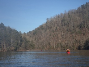
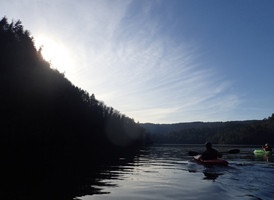
For more details on the run, see the AW write-up
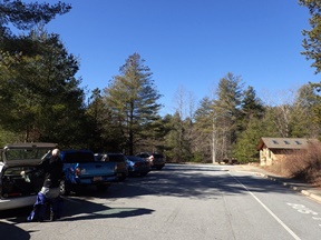
Put-in: 8 miles East of Clayton GA on US 76 there is a bridge over the Chattooga that also marks the state line. Just on the far side is a parking spot at a forest service area on the left. There is a trail that leaves the parking lot heading upriver to Bull Sluice if you want to get that as your warm up.
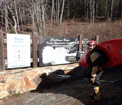
Take-out: Continue on US-76 for 2.4 miles and turn right on State Rd 37 (first right turn on a larger road as I remember). The first road on your right 100 yards leads to Woodall Shoals if you are facing low water, this is a great spot to put in. There is also free camping there. Anyways, continue on State Rd 37 for 2.4 miles to the T and turn right. Continue on this road for 2.6 miles again to a T and turn right on Damascus Rd (note, Damascus Rd also hits US-76 and can be used, but this way I am explaining is the quicker of the two). Follow Damascus Rd for 1.2 miles before turning right on the first road, Bull Sluice. There are signs pointing you to the boat ramp, follow them to the end of the road where the boat ramp is. That is take-out.
HTML Comment Box is loading comments...
