Cane Creek
| Stretch: | Rooks Rd to Bee Rock Campground |
| Difficulty: | Class IV |
| Distance: | 5.6 miles |
| Flows: | ~200 to 500 cfs (look for Lynn Camp to be over 400 cfs and Rockcastle to be over 3,000 cfs). Check out American Whitewater's current flows for both. |
| Gradient: | 29 fpm average (90 fpm from Mi 3.5 to 4.5) |
| Put-in: | Rooks Rd creek crossing |
| Take-out: | Either side of the river at Bee Rock Campground |
| Shuttle: | 11.1 miles (15 min one way) |
| Season: | Winter and Spring, rain |
| Written: | © 2016 |
Well, with my work travel schedule this year, I can't say I have any much opportunity to kayak. After last year where at this point I was already at 30 new runs or so... this year I stand at 5. So, the morning after returning home from yet another business trip at around midnight, I get the call from Jim Janney that Kentucky got 3 inches of rain and there are some interesting options to be had. A few hours later, Diane gets off of a 24 hr shift and we begin the 2 hour drive north.
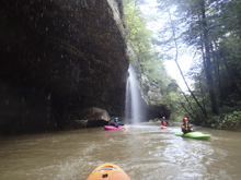
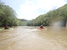
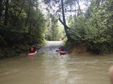
I knew literally nothing about this run. I mistook it for the one in Tennessee when Jim first mentioned it. To boot, we didn't even know if it would be in. The Rockcastle was Richter... so we thought this probably couldn't have dropped out too fast. Arriving at put in, we see there is plenty of water... after shoving off and paddling a few miles of mellow current, with falls dropping in at every corner, we start to understand we have a healthy flow. Fingers crossed for eddies and no wood!
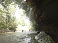
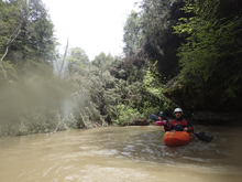
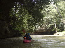
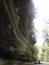
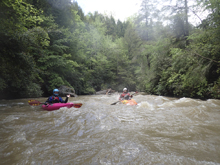
As I said, the first several miles are just moving current. Stay on your toes for wood, there was a lot of it. The miles pass by quick though thanks to the unrelentingly beautiful walls that line the river. Around this time, I began to get worried too. There was so much wood, anywhere with a boulder large enough to stop a log, there was indeed a log stopped. Every spot where gradient picked up and a riffle formed... a log was stopped. What would the rapids downriver be like? How many portages would there be?
It turns out, we had no wood portages. A few times we had to limbo or hop over logs, at lower flow a few of those might close out... but for us, we never had to portage. We were able to stay in the boat for all but the last rapid. We had heard that one has a sieve and is commonly portaged or snuck (honestly none of us did our homework on this one to recall the specifics). Jim and Jeff hoped out to scout and gave us the beta to enter left and eddy out behind the house size rock. It turns out at lower water that is the very move that is a sieve. We had enough we just boated straight over it without knowing it until we go home and looked into it further. Phew!
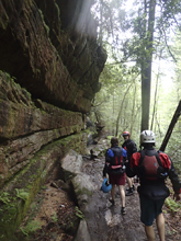
In all, this run is one of the prettiest I have done out here. The canyon walls are not huge, but they are spectacular. It reminded me of the best parts of Piney River in TN... but rather than having only a few short spurts of scenery, it was the entire first 3.5 miles. The rapids were fun, albeit captured in just the last mile of the creek. The consisted of large boulders that created fun moves, interspaced with a few hazards. At our flow, it felt solid class IV, though not class IV+ yet. I am sure at lower flows it starts being more class III/IV.
For reference, we put on while the Lynn Camp gauge was peaking at 1,150 cfs and while the Rockcastle was still going vertical past 10,000 cfs on its way to 14,500 cfs peak. They received ~3 inches of rain in the previous 12 hours or so. The Rockcastle peaked several hours after we ran it following Cane Creek, after we left. Cane Creek was 1 foot lower (probably still a medium at that point) when we picked up our car after running Rockcastle.
Mi 0-3.5: Mi 3.5:
- Vanhook Bridge Rapid (IV). Scout from the left shore. While you are at it, you might as well cross the bridge and hike the few hundred yards up to Vanhook Falls which is a nice sight to see. The rapid itself is a ramp into a hole, undercut on the left, and roto on the right. We just ran down the middle and easily lifted our noses over the hole.
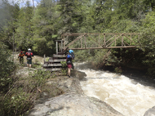
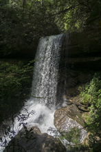
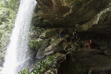

Rapid Below the Bridge (III). Just below was anice side creek coming in from the left as well as Vanhook from the right. 100 feet downriver the river drops off an s-turning rapid. We ran down the middle left to right. You can boat scout it from the eddy at the lip on the left.
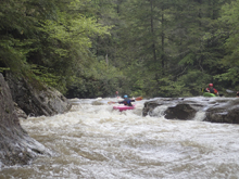
Pinch (IV-). Just downstream, you will enter through a maze of wood and boulders and catch an eddy at the lip of a sluice that drops a few feet between two tight rocks. We ran just left of center and boofed over the hole.
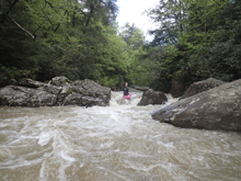
Ledge (III+). Just downstream is another ledge where the river slides down and into a large and ugly undercut, causing a boil to rise along its walls. We ran hard right to left to plop into the eddy below, away from the undercut.
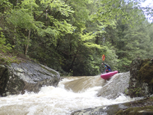
- House Rock (III+). Downstream, was a wonderful view of a huge building size rock. To the right of this was a ramp that slid down into a hole. Hit this right with some right angle. The water exited to the left into an undercut wall and pocket. Easy to avoid though with even just a little right angle.
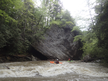
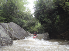
- Autofeed (IV). I would say at the higher flow this rapid started to border class IV+. We boat scouted our way down the right into an eddy, then ferried to the left shore to the lip of the crux move. I was able to hop out for confirmation of the line and signaled to others that it was clean and clear. They then ferried over and ran the crux. The crux was a curler coming off the left side, you want to get on the curler and boof back to the right to clear the hole. Downstream, all the water exits, and moves into a small undercut. Jim and Jeff kept their heads dry. Diane and I plugged, Diane eddied out before the undercut. I went straight into it and flipped but flushed off immediately and rolled up. The exit was congested with wood and was a tight pinch... would have sucked to have been swimming there! The portage options are not great on this rapid...
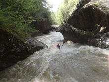
- Go Right! (IV). A little ways downstream is a blind rapid that at normal flows has a no go spot. At lower flows the left channel (the one you would think is the ideal line) disappears into a tunnel at the pinch. There is a small right channel that in 2016 was blocked from view by wood. As it was, we entered over and between wood. At low flow you may not be able to enter this one at all. Anyways, we scouted as we heard there was a "sketchy rapid" somewhere in here. Jim came back and said it was all clear anywhere. So we went down the left. The channel was narrow but was all water. It wasn't until I got home and saw the pictures that I realized we simply boated over the "tunnel" as we had enough water. After that entrance we eddied out on the right in a super cool spot. We then ran the next tier down the middle moving right, you want to move right as the left side quickly hit a midstream boulder and deflected down a tight channel that likely has some hazards.
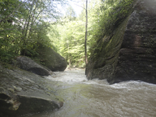
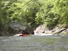
- Slack Water: When the Rockcastle has less than 10,000 cfs there is another rapid... however our day it was underwater as the Rockcastle backs up the Cane for almost 3/4rs of a mile above the confluence.
For more details on the run, see the AW write-up
Take-out: Exit Highway 75 near Corbin KY. Take KY-312 for 4.4 miles. Turn left to stay on 312. After a half mile turn right to again stay on 312. Continue for 3.5 miles until you get to KY-192, turn left and follow for 10.5 miles. Bee Rock Campground is located on both sides of the river and either side is good to go to access the river as parking areas exist at the terminus on both sides.
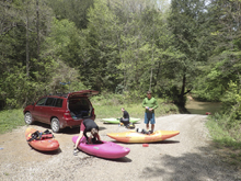
Put-in: From the campground, get back out to 192 and turn left onto KY-192. Follow this for 8.2 miles until you reach Rooks Rd. Turn left on Rooks Rd and follow this down to the river. Near the end it turns to gravel and has a few small washouts. A civic was able to make it in 2016.
HTML Comment Box is loading comments...

