Cane Creek (Fall Creek Falls State Park)
| Stretch: | Cane Creek Falls to Highway 30 |
| Difficulty: | Class IV to V |
| Distance: | 7.25 miles |
| Flows: | ~0" to 12" (I have heard folks run it to 1.5' but that would be really big and class V for sure, similarly, I have heard folks run it down to -6" but damn that would be low... I can't imagine it is good that low). We had 0.75" of rain in the past 20 hrs with plenty of recent rain to keep the caves full. In the past, the Calfkiller gauge was used as an estimate, but it appears to have been offline for the past year. |
| Gradient: | 205 fpm for 1.3 miles and then 51 fpm for 6 miles. |
| Put-in: | Cable Trail access to the bottom of Cane Creek Falls |
| Take-out: | Highway 30 bridge access |
| Shuttle: | 9.4 miles (15 minutes one-way) |
| Season: | Winter/Spring from rain (after aquafers fill) |
| Written: | © 2018 |
| Featured in Video A Wet State #136 | |
Just shy of a year ago was my first attempt on this river. That day, Chris Roberts, Casey Cutter and I went out to the day of boating. Being as it is 2 hours away from home in Knoxville, it can be tough to motivate groups for. That along with the demanding nature of the rapids, again reduces the number of people willing to motivate. Finally, the fact that the rapids only last about 1.3 miles before tapering off for a mile and then having several miles of boogy... again, reduces the motivation factor. So... why am I talking about a run I did a year ago? Because I didn't do it. We arrived and found the river spiking at 1.5 ft. Very high. We decided that the water had to be dropping so we suit up and planned to head to put-in assuming we would have about 12" when we ran it. We spent 10 minutes getting boats onto a car and suiting up, I finished first and went back to look at the flow. It was now 2'. 10 minutes later it was 2.5'. With less faith that it would drop to a good level in the next hour or two, we put our tail between our legs and went to find other options... hoping for Tiny Piney or Piney (reported low while drove, so we diverted to Island, only to get home that night and see pics of folks running Tiny Piney). The end result was driving 5.5 hours that day for a run that is 50 minutes from home.
So anyways, lets talk about a successful day. This weekend, Diane and I were planning on boating in the smokies. The rain was coming overnight and we had Diane's mom Beth, with us. We had hoped for an option with a mellow run immediately downstream, something like Ramsey into Greenbrier. As the morning came, the smokies didn't get what was anticipated, and Jim called with the Cane Creek idea. I liked the idea and we motivated, with hopes of getting upper Daddy's or lower Caney Fork afterwards with Beth.
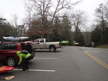
For once, arrival between six people (Jim, Justin, Tom, Diane, Beth and I) went seamless. Jim's car arriving only two minutes behind ours after the two hour drive. Miraculous indeed. Checking flows showed 7". Tom said the tough stuff would be ok probably but the paddle out would be boney. He waffled, but in the end we went with "we are here" and geared up. Arriving at put-in we found the trail and downclimbed to the base of the falls. If you have a +1 that doesn't boat this is a great run to bum their shuttle service on. The shuttle is only 15 minutes one way, but the hiking around the area is spectacular between Cane Creek Falls and Fall Creek Falls.
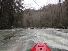
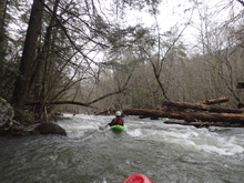
Putting on you quickly get to the rapids. The river is a lot like nearby Bee Creek, or a harder, smaller, and steeper version of Caney Fork. Rocks are sieved or undercut. And rapids tend to be fairly long or multi-tiered. We quickly figured out that the 7" we had felt like a straight medium flow. Not low by any means. In the second or third rapid, we ran into a lack of eddies due to miscommunication with the one person in the group that we don't often boat with. Due to that miscommunication, half the group flushed through a sporty slot on not much more than "it goes" beta. The other half went into it with no more information but in less "flush through" it fashion. Luckily it went well. Not far downstream is Towers, and then the river eases up for a short ways. You collect more water, and then approach Airplane Turn and Hallway Falls which come in quick succession, which then leads quickly into boogie that culminates with Rear Entry. Below that, the river takes a big step down to class III for about a mile before it again steps down this time to class II where it stays until the end. Near the end, the river begins to spread out into multiple channels. We stayed right throughout and this worked out fine. We also found that even throughout this bottom section we had plenty of water. I only hit bottom a few times.
At take-out, we found 8" on the gauge. Up 1" from when we set shuttle. And all agreed this felt like a plentiful medium, no low by any means. Also, not high. In hindsight, we read Kirk's book which said +4" to 10" is optimal. I guess it would have been good to read that beforehand.
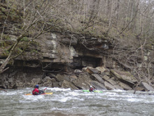
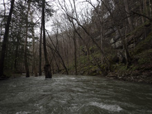
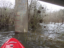
The rapids on the run are good while the last, demanding and consequential at times, but fun. The put-in is spectacular. But the thing that really struck me about the run is the scenery throughout the run. The first two miles have some huge walls around you. Think like LRC, but tighter, taller, and more rugged. Really stunning. After you exit the main canyon, the hemlocks (which are still healthy here) grow right in the river which offers a unique and beautiful experience. Then, as you approach the end, you have short cliffs that tighten on the river at times. The whole time, I thoroughly enjoyed the views, and I think that will be the pull to return again.
Mi 0.0:
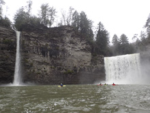
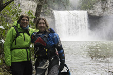
- Cane Creek Falls (V+). This falls has been run. You would for sure want more water than we had. I think for the falls to be at a good level, the river is going to be high. Like the 14-16" inches type of range. It is also 55-65 ft. I read 65'. Jim and I thought 55' while looking at it.
Boogie (III). Below, you get one or two boogie rapids to warm up on as the river bends left.
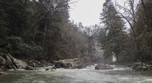
- Pine Tree Falls (IV-). I bet at low flow this is just class III. A small slide leads to a small hole that you need to get through to drive left. This then leads to an autoboof for the 5 foot ledge below. Melting off right at high flows would be bad. Super pretty spot.
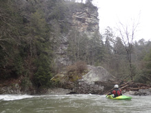
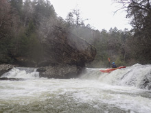
Boogie (III to IV-). The boogie here has lots of big rocks that block your views. After one or two pool drop style rapids, you will get to a boogie rapid that is longer and leads to a more congested view.
- Congested (IV). This rapid is the start of the first gorge. Although only one or two of these rapids get class V ratings on their own, I would say the gorge felt like a V- experience in total at our flow. For this rapid, we ran down the center which consisted of a boof in the middle over a small hole and then an eddy out on the left above a hallway. This is a good place to scout from in hindsight. Instead, one in our group went down the hallway and we saw scramble left. A second later he was standing on shore scouting and gave us no signals. This was a mistake. That hallway leads directly to the top of a beefy slot and the "eddies" were not really stable.
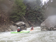
Slot #1 (IV+). We boofed down the middle of the center channel. The first flushed out of their eddy and ran it. The rest were given a "he is ok" and we followed. In hindsight, there was better lines using a slide just left of our slot. Oh well. I plugged deep into the slot and came out upside down for a quick role in a rocky pocket. Below there is 100 ft of boogie.
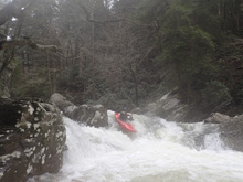
Slot #2 (III+ to IV). It is a straight forward slot, you can scout it on the left to check for wood. It has a short small ramp into the a huge rock, the slot is on the left side of it. It is only a few feet tall, but the hole can and has swum people. It then has boogie exiting it.
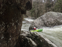
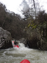
Right Turn (IV-). The river then bends right, boat scout from the eddy on the left. The line is down the right which has a small wave hole leading to a small ledge. The ledge would be disastrous to get stuck in as Twin Towers is immediately downstream.
- Twin Towers (V). This is a long rapid with a few hazards and a large hole at the bottom. For us, to make matters worse, there were also two trees right where the current would send anyone who backendered out of the hole at the bottom. Scout on the right. Most people start in the channel on the far right, then go left of center down the rest of the lead in so that they can have a good head of steam heading down the middle for the hole at the bottom. Without the trees, people backender a lot, but flush just fine. Because of the trees, all but Jim decided to walk it. He had a great line of course.
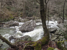
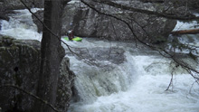
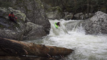
Boof (IV-). Immediately below was a great boof that we ran far left. The hole was decent size and the next step was super congested with wood in play. We ran a small slot on the left of center into a 1.5 boat eddy. From there, we ran down the left channel in front of an undercut we carried right momentum to avoid, This then turned into boogie that we ran down the right before there was another short mellower section of 100 yards which led to a riverwide log.
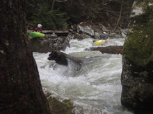
- Corner Pocket (IV). At the end of the mellow section you get to this rapid which marks the start of the second gorge. There is often wood so scouting on the left may be good. We entered left of the main channel which then led to a flake/boof/hole that we ran off of the left side of. This then dropped you in the short pool above Airplane Turn.
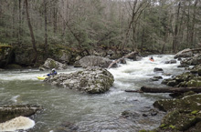
Airplane Turn (IV+ to V). So, the best way to scout is from the center rock. At high flows, that may not be possible. Scouting from the left below doesn't allow you to see the entry hole well as it aligns with the main falls. The line is to drive through the entry hole, the river then airplane turns to the left, you want to be on the far right of this to drop and skip out of the hole below. Being too far center on the drop can result in you getting pitted in the hole, which then moves you back into the pocket, under the undercut, and backed up by a rock. Not a good place to get stuck. There is also a sneak on the far left down a super mellow slide. A small class III serves as the exit of this rapid.
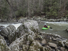
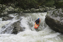
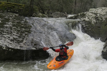
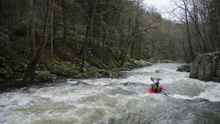
- Hallway Falls (IV+ to V-). From Airplane Turn you can see this horizon line. The line is in the right channel, scout from the right short. The line is to boof as far left as you can to avoid a rocky landing. Land straight downriver through to avoid the rocks /undercut that are just to the left of the landing too. Exit with the water.
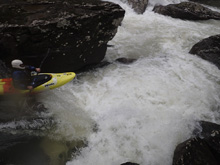
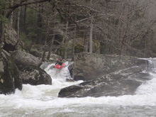
Boogie (IV). Below, we ran one boogie rapid down the left through a ramp and then left through a small slot. The right had a pin rock. This led to the entry of the last big rapid.
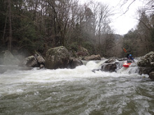
- Rear Entry (V- to V). You can tell there is something bigger downstream. You might scout from the right. We read and ran a little bit and ended up in a small 1 boat eddy at the lip of the main drop, where Jim hoped out and provided beta to us one at a time. The line was down the far left, a ledge should be run with left momentum far left, this auto kicks you through the hole and town a small rocky s-turn. S-turn and boof the exit hole which is backed up by a rock. One in our group hit it with right angle and got a surf on due to the rock backup. Below, is a ledge with sticky hole. I boofed a small left channel on the right, most in the group boofed the main channel either opting far right or far left. The middle was meaty. Below, a small class III/IV boogie rapid can be run anywhere to exit you from the hard section of this river.
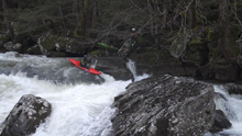
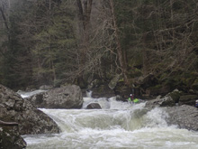
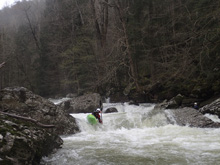
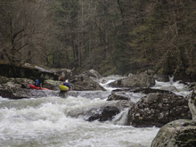
Boogie (III-). The first rapid below is just a long wave train that is fun and mellow.
Boogie (III). Below, we went to the left of an island (or maybe it is a creek enters on the right, don't recall. But we came and joined the full flow as it s-turned. It was mellow enough boogie but there was a small, but surprisingly sticky, 2-3 foot ledge hole below. We boofed far left.
Take-out: From Knoxville, we took highway 40 to Crossville and then dropped south on TN-101. After about 29 miles, this T's with TN-30 in the town of Mt Crest. Turn right on TN-30 and follow for 11.3 miles. Just before the bridge over the creek, there is a road that turns off on the right (TN-285). The access is off that road, immediately on your left, just on the downstream side of the bridge.
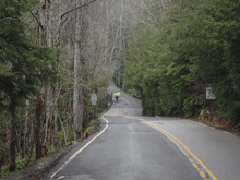
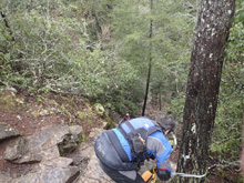
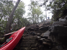
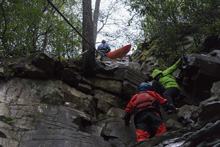
Put-in: Head back towards Mt Crest on TN-30. After 6.2 miles, turn right at the Fall Creek Falls State Park sign onto TN-284. Follow this for 3.1 miles. You will cross Rockhouse Creek (forms the small volume 85 footer next to Cane Creek Falls) and then you will get to a parking area right near Betty Dunn Nature Center. We parked here on the main road. We then walked back down the road the way we came for 100 yards, crossed Rockhouse Creek and then took the Cable Trail (not the Paw Paw Trail) down to the base. Note, that the trail is very steep scramble down 75 degree natural rock steps. If it is frozen, it would be very dangerous. We lowered boats down through the top half via ropes.
HTML Comment Box is loading comments...

