Cache la Poudre River (Upper Mishawaka)
| Stretch: | Steven's Gulch Picnic Area to the Mishawaka Inn |
| Difficulty: | Class III to IV |
| Distance: | 3.65 miles |
| Flows: | 350 to ?,000 cfs (well downstream). Check out American Whitewater's current flow gauge. |
| Gradient: | 65 fpm average |
| Put-in: | Steven's Gulch Picnic Area |
| Take-out: | Mishawaka Inn |
| Shuttle: | 3.5 miles, 5 minutes one way. |
| Season: | Spring and Summer from snowmelt |
| Written: | © 2018 |
Jobless Summer 2019 Roadtrip Day 2b:
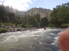
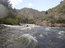
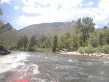
After boating the Narrows we continued on through the Upper Mishawaka which is the short section above the Mishawaka Inn but below the Narrows. The section is short, but certainly fun with some nice class III-IV rapids. The scenery, despite the road being next to the river the whole way, is still surprisingly pleasant.
Honestly, this section and the three below it seem like they should all just be one class III to IV section. But, I think because of the rafting industry in the area, which utilizes different put-ins and charges different rates for different lengths and difficulties the split out into four runs has stuck. Realistically, I don't know how many boaters do just one short section. I can see raft guides perhaps doing this as an after work kayak run, but for boaters looking for a full run it seems they will likely do multiple of these sections each time. Anyways, I am following American Whitewater's lead on this one and breaking them up accordingly.
Previous: Jobless Summer 2019 Roadtrip - Day 2a: Cache la Poudre River (Narrows)
Next: Jobless Summer 2019 Roadtrip - Day 2c: Cache la Poudre River (Lower Mishawaka)
Mi 0:
- Boogie (I to III). There is mostly flatish water here but there is one or two better boogie rapids in here.
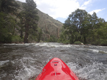
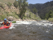
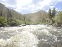
- Triple Rock AKA Twin Pin (III). The first stand out rapid in my mind was a rock fence that we ran down the middle of.
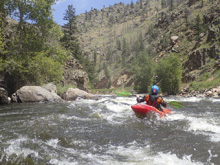
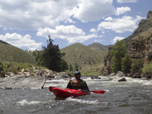
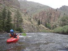
- Number 2 (III). I actually don't recall this one at all, and have no pictures of it, but I see it on google earth. Makes me think it is non-descript boogie.
- Tunnel Rapid (III to IV). A fun rapid that was read and run down the middle and then went into a really nice canyon immediately below.
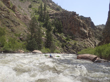
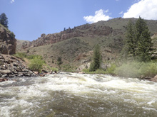
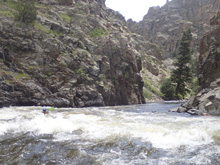
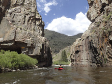
- Number 4 (III to IV). On the left turn was the next rapid, I don't really remember the specifics of it though.
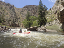
- Number 5 (III+ to IV). As the river bends left there was a bedrock drop that had a fluffy hole in the middle. As I recal we went to the right around it.
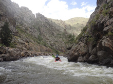
- Mishawaka Falls (III to IV). This section is a long read and run affair with some nice holes to boof. I bet as the water gets higher, some of these holes are avoided.
Take-out: From Fort Collins take CO-287 North for 9.8 miles before turning left onto CO-14. Follow this up the river valley for 13.7 miles to The Mishawaka Inn. Though they don't like parking at the place. We boated through, so I am not sure what the parking situation is actually.
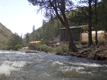
Put-in: Continue up CO-14 for an additional 3.5 miles to the Stevens Gulch Picnic Site.
HTML Comment Box is loading comments...
