
Caney Fork of the Cumberland (Clifty Bridge to Bee Creek)
| Stretch: | "The Caney Fork" |
| Difficulty: | Class IV (one IV+ to V-) |
| Distance: | 9.15 miles (or 7.35 miles) |
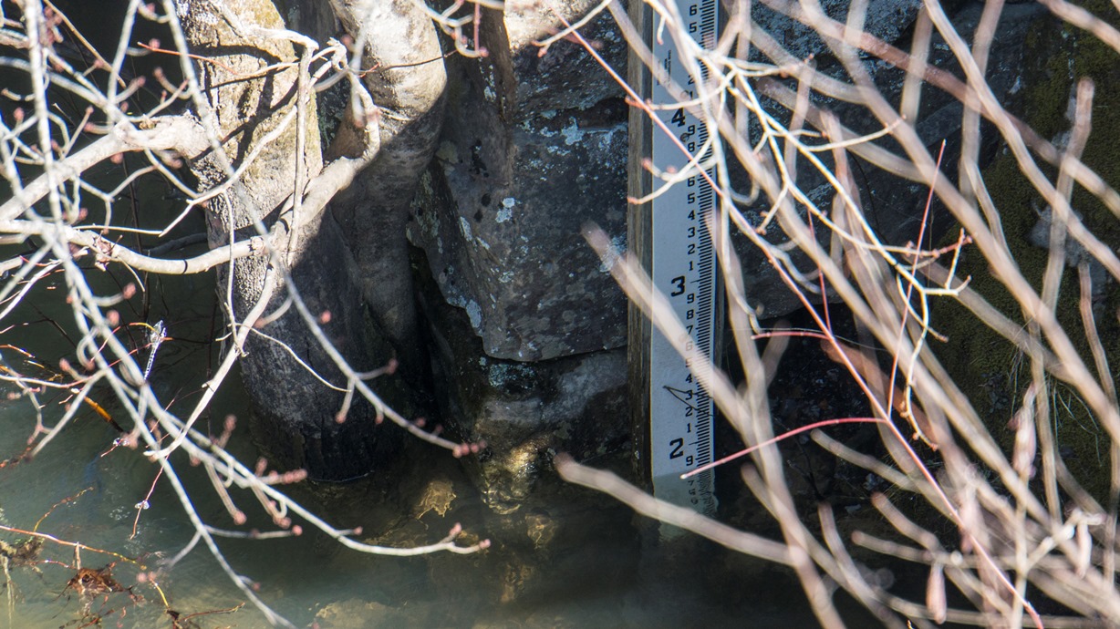
| Flows: | 1.1 (very low)' to ~2.5' (1.8' felt optimal) at Clifty Bridge Put-in stick gauge. Or use Alex Zendel's correlation to figure out if it may have water... or American Whitewater's correlation (850 cfs = 1.8'). . |
| Gradient: | 64 fpm average (from the start of the Class IV rapids 4.8 miles in to the end of the rapids it is 80 fpm) |
| Put-in: | Clifty Road bridge over the Caney Fork |
| Take-out: | Scott Gulf Rd |
| Shuttle: | 12 miles (~45 minutes one way). The last several miles on Scott Gulf need 4-wheel drive and some clearance. My Highlander made it... just barely. Each year it is getting worse though |
| Season: | Winter and Spring, Rain |
| Written: | © 2015, 2021 |
| Featured in A Wet State #150 | |
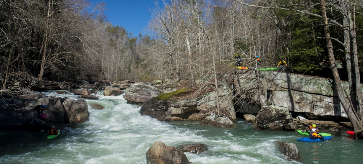
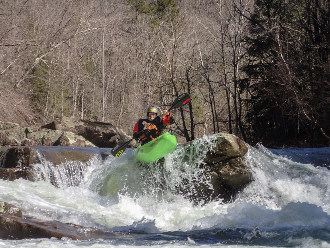
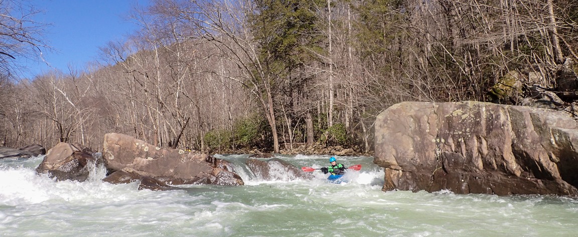
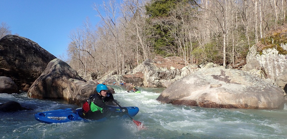
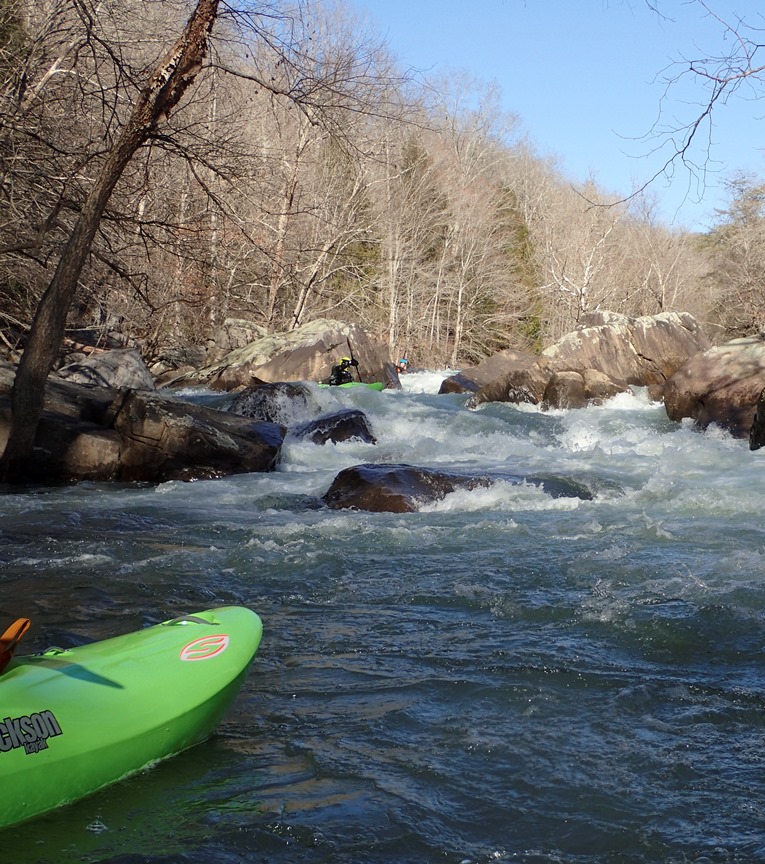
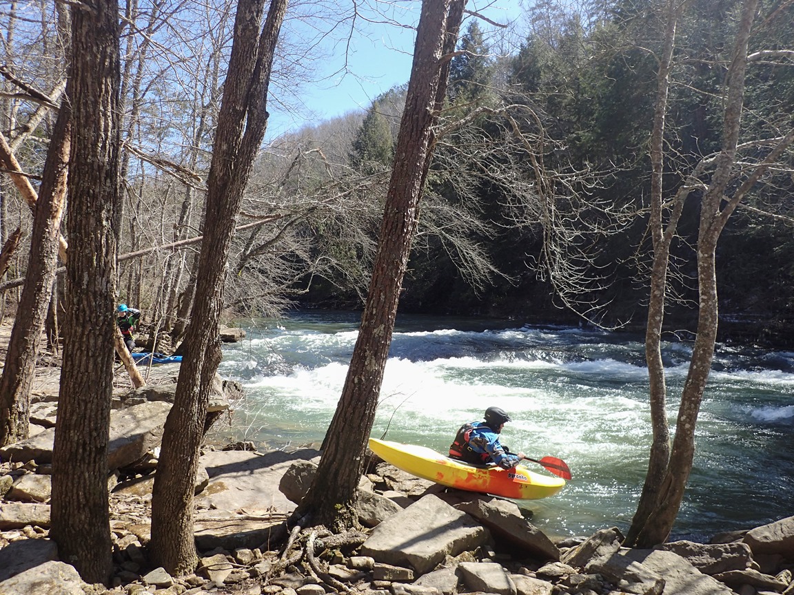
This is one of the better class IV runs out there... good all day length of 7.3-9.1 miles, more rapids than you can count, and one bigger rapid to keep yourself challenged. And just like California, the shuttle offers just enough hassle that you are unlike to return to this day after day.
Depending on where you put in, you either have 2.6 miles or 0.8 miles to warm up before the biggest rapid of the run greets you. Many choose to walk this on the left as there are several dangerous spots and a few large holes to negotiate... not to mention the runout rapid downstream is not something anyone should want to swim through. Scout... set safety, and make good decisions for yourself. Not far downstream the river quickly turns into its normal characteristic of class III and IV rapids with recover sections between. The crux of the class IVs comes near the end when you get to a backed up set of ledges which can cause folks problems. Also keep an eye for the ledge just upstream which has a large sieve in play on the left, make sure you boof right on that one!
The downside of the run as I mentioned is the shuttle... but also a handful of junky rapids. The shuttle is ~45 minutes one way mostly due to the 6 miles on Scott's Gulf Road... and specifically the final 2 miles which you need 4-wheel drive and clearance... my highlander just barely made it as of March 2015. Mud, potholes, rocks, etc all pose a problem on this shuttle. The day I have had in there thus far I had an approximately optimal flow of 1.8', and even with that water there were still several rapids that were junky and abusive. Of course over a 9 mile run you would expect a few rapids that are not super clean. But I think that regard for my boat would make me shy away from heading in too low. But desperate times may cause me to resort to desperate measures.
Update 2021: Now several years later I have had a chance to do the run many more times and at a wide range of flows. The highest I have done it was 2.1' which was my favorite flow for all but Devil's Kitchen. That turned into a big rapid with consequences, which I portaged. But the rest of the run was absolutely fantastic with super high quality boogie and surprisingly not many sticky spots. I would go back at that flow in a heartbeat, though it for sure is above the average Caney Fork user's cutoff. Just yesterday I did two laps at my lowest ever flows of 1.3ish plus/minus. Even at this flow the run maintains its fun run, though there are threee or four times that the river spreads out and gets boney. But it is doable and still completely worthwhile, as obvious by us still doing a second lap!
Mi 0.0:
- Clifty (III). Right below put-in is the first rapid. Scout it before putting on to pick a line that doesn't have a hydraulic you don't like. At high flow the left becomes a terrible ledge hole.
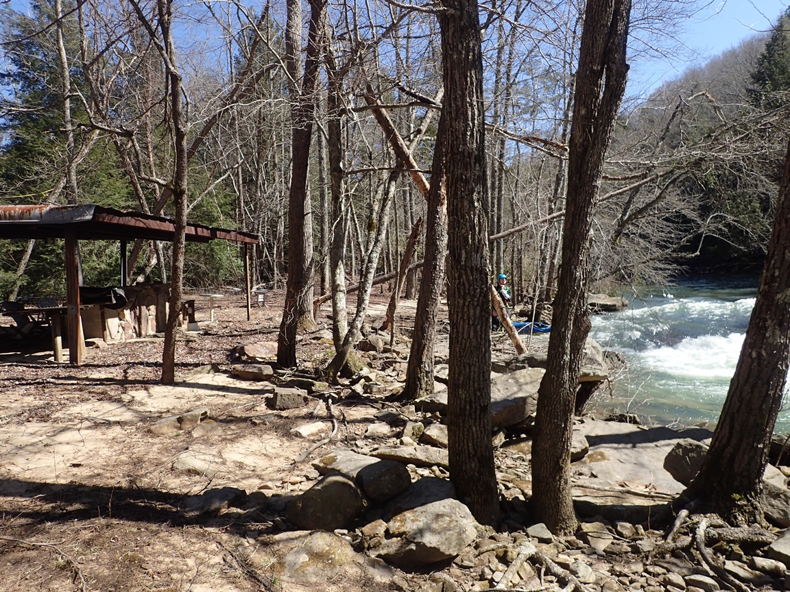
- Toddtown access... private property but to date the folks have been nice and allowed us access to this location. It is asked that you text them, however I do not have their number to share. So if you don't either, then park at the bridge on Clifty Rd instead. Downstream start some fun class II+ wave trains and playspots leading down to the big show...
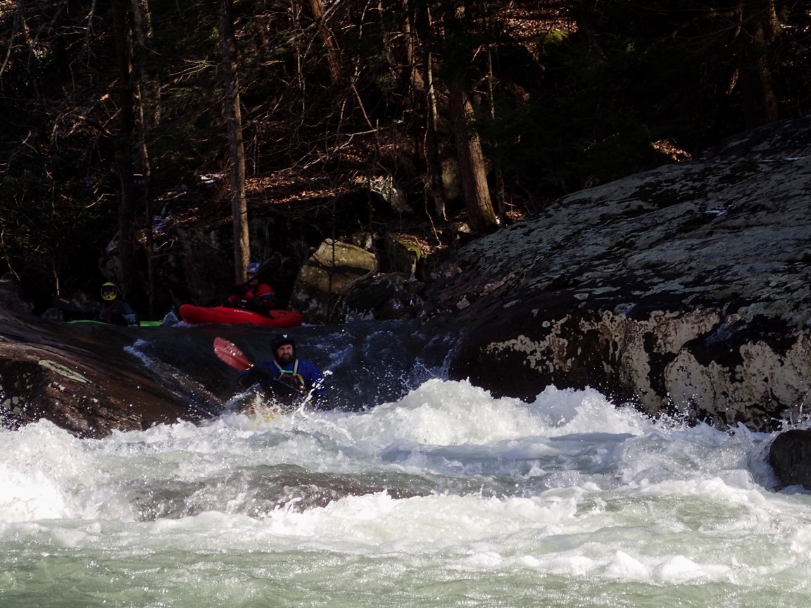
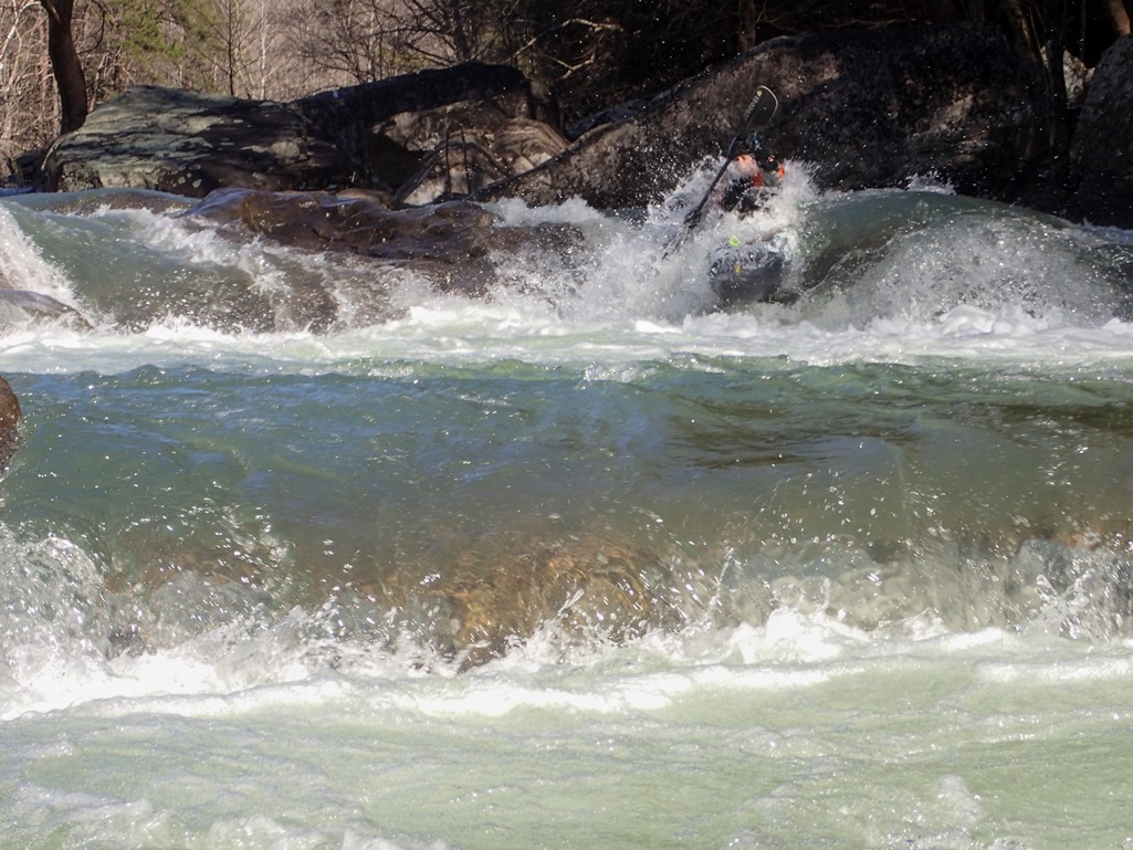
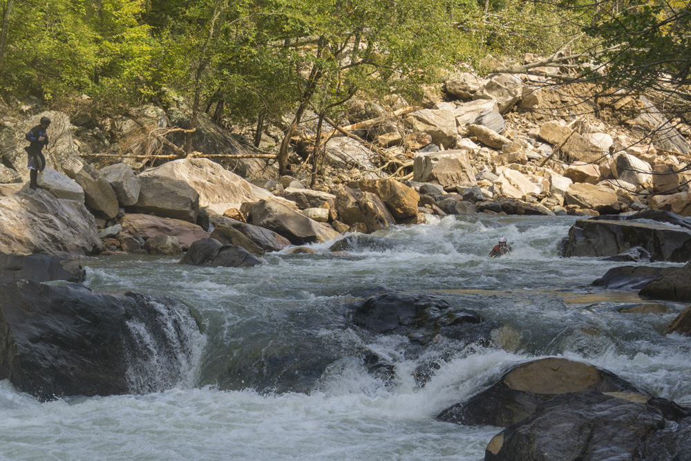
- Devil's Kitchen (IV+... maybe V at higher flows). This rapid is the first one you come to and by leaps and bounds the hardest. Eddy out left at the lip and scout it (or portage on the left, which requires lowering boats off the final 15 foot high step). The line was great fun at a medium flow. Enter down the middle or far left. Then work left to boof the right side of the ledge in the left channel. There is a nice multi-boat eddy bwlow that ledge to prepare for the bottom moves. Enter in the right channel, go up and over a boulder in the river and slide down the back. Then get far left and boof the left edge of the top drop, landing as far left as you can be and landing paddling hard for the bottom hole. The bottom hole can be surfed out far right if need be. Highly recommend setting safety on this one as the roundout of this rapid is a bit junky and would not be a good place to swim into.
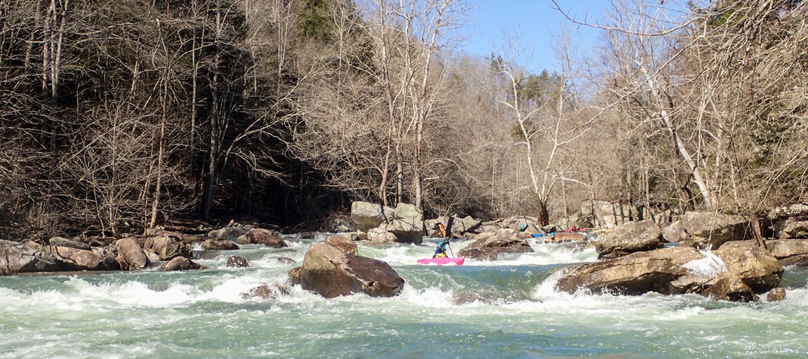
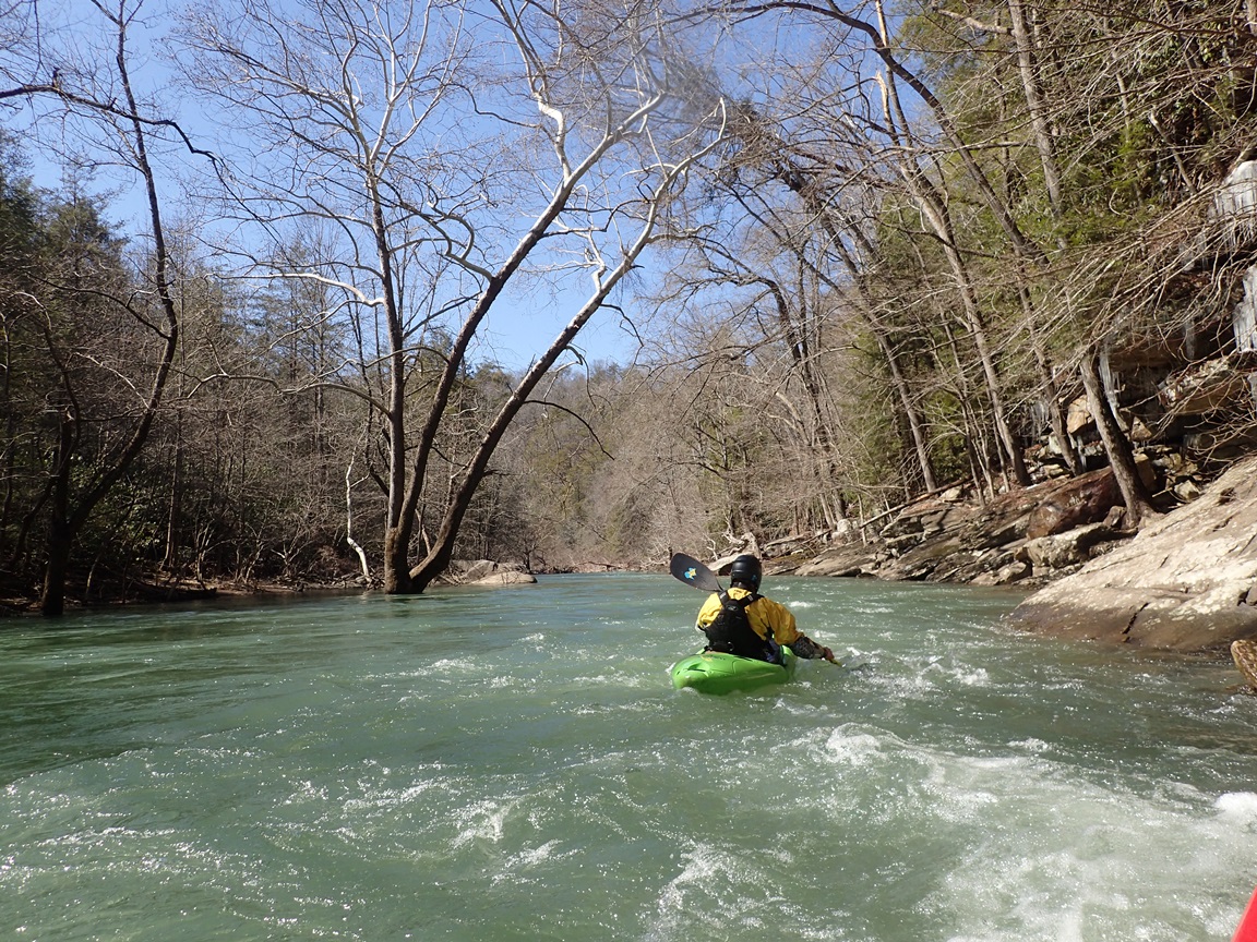
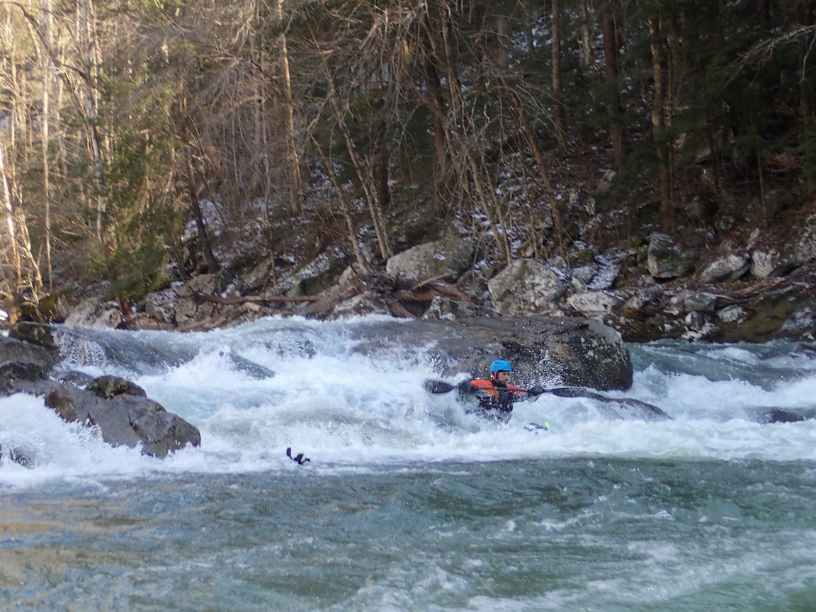
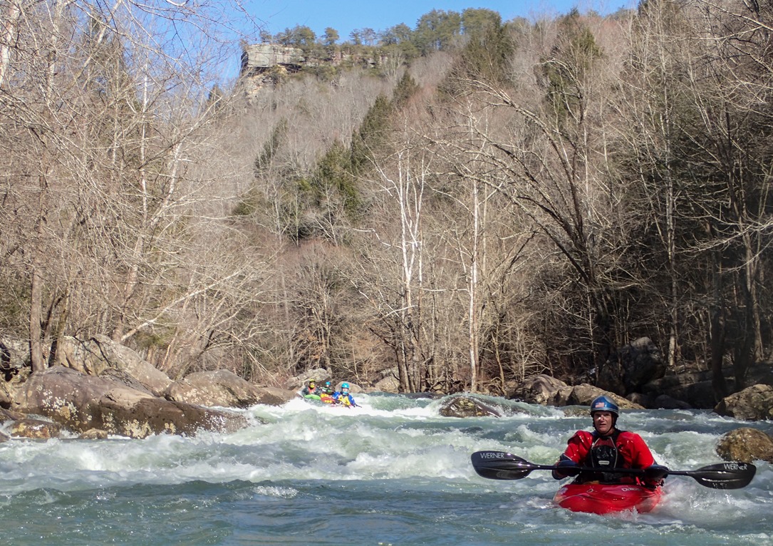
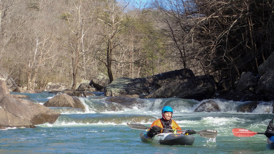
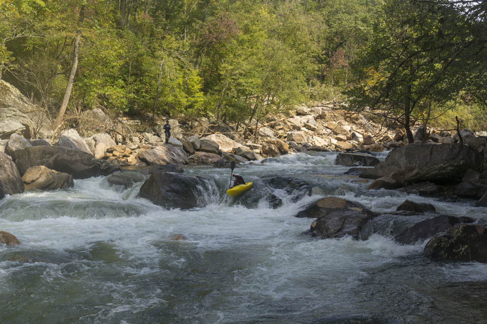
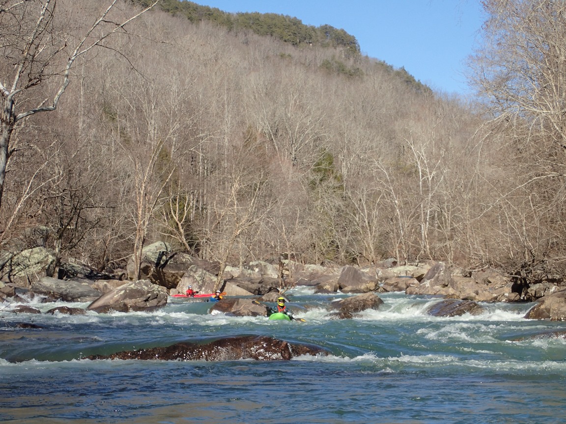
- Boogie (III to IV). There is a lot of boogie on this run and I can't descibe it all. Everything is boat scoutable by a solid boater. However people with less comfort on class IV may need to pop out to take a look occasionally.
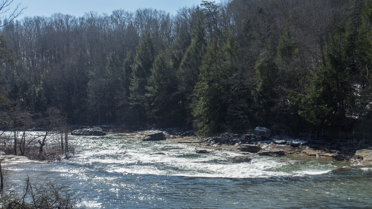
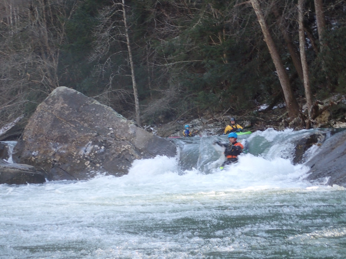
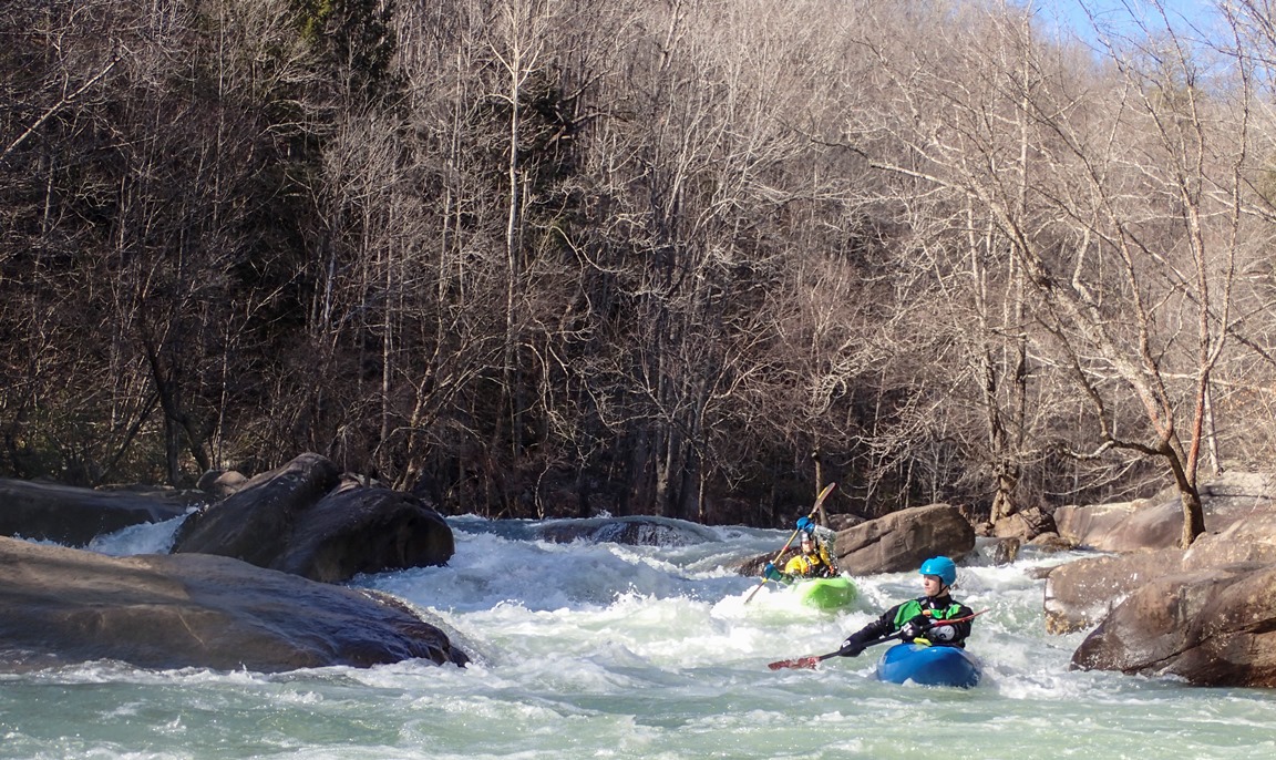
- Ledges (III). A set of nice ledges is spread over this mile, on we went down the main channel far left... this hole can be very large and at high flows the right channel should be used The second ledge can be run just about anywhere or had a nice boof in a small off-shoot right hand channel.
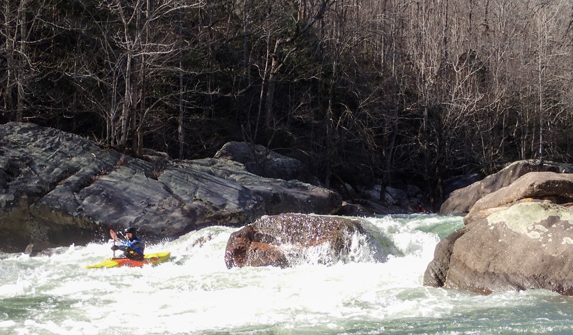
- Start of the Class IVs (IV). After a junky rapid the river quickly bent to the right and dropped off a nice fluffy rapid. We went down the far left moving back hard to the far right. Below, the rapids continue... lots and lots of rapids!
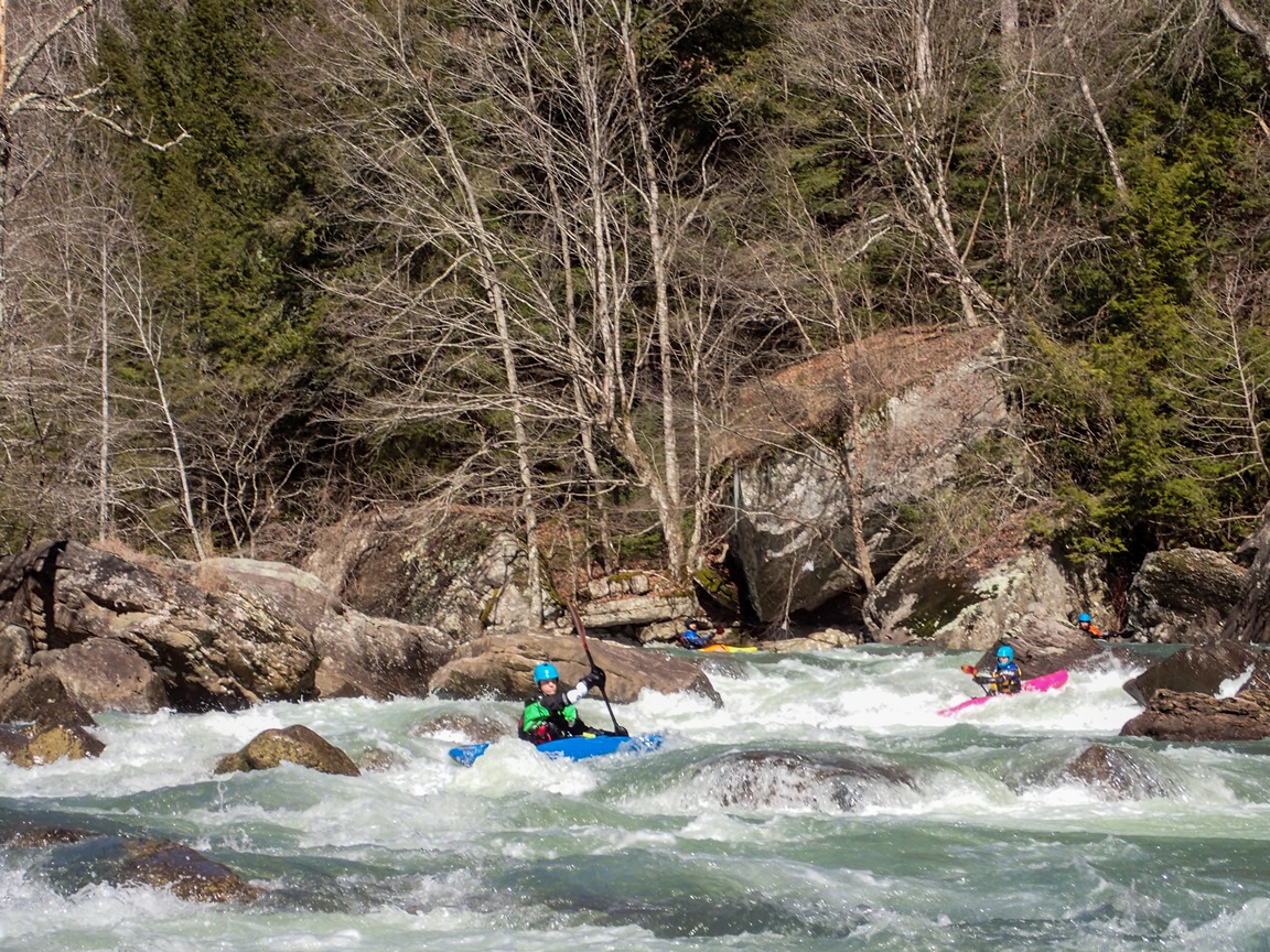
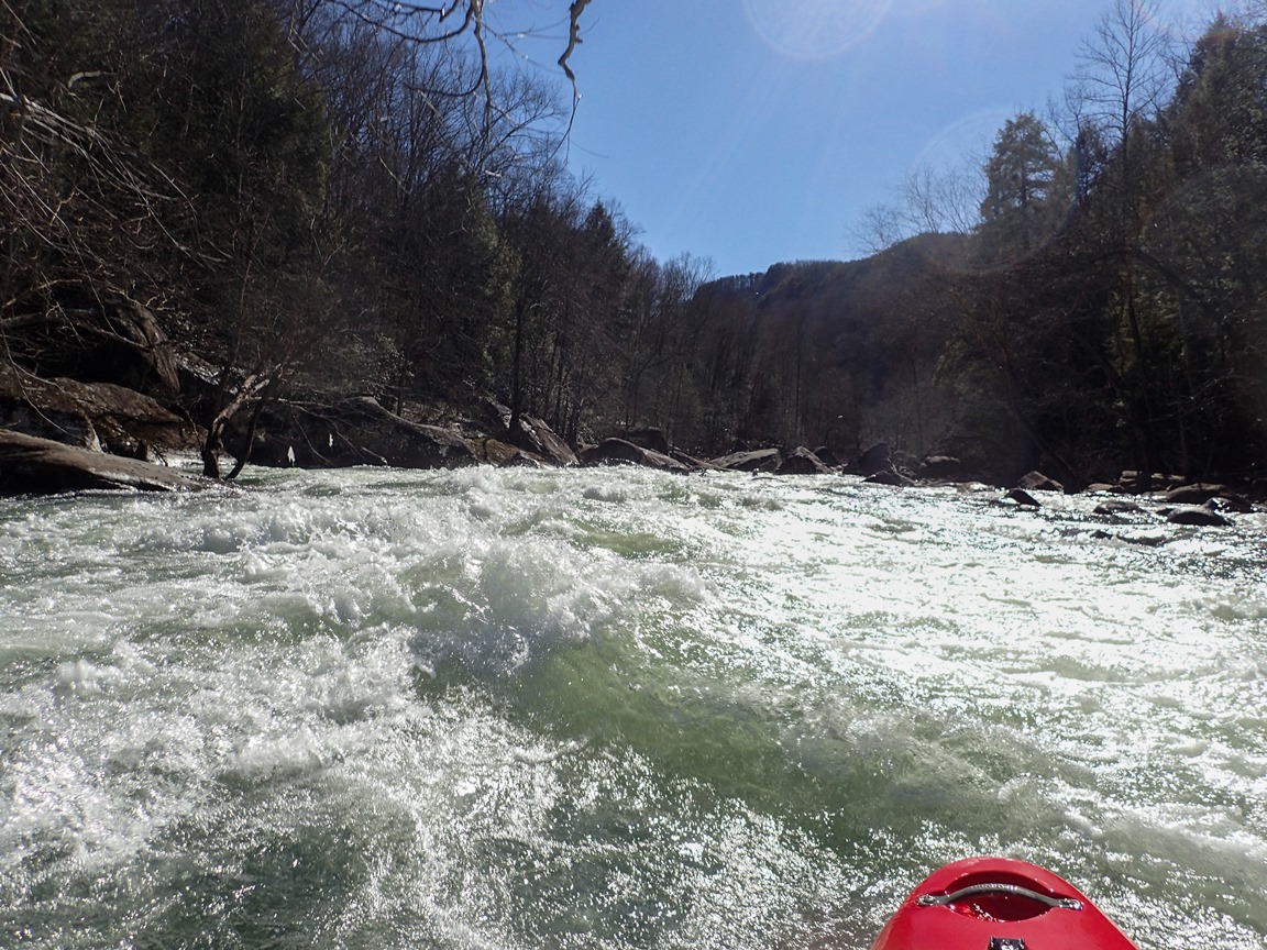
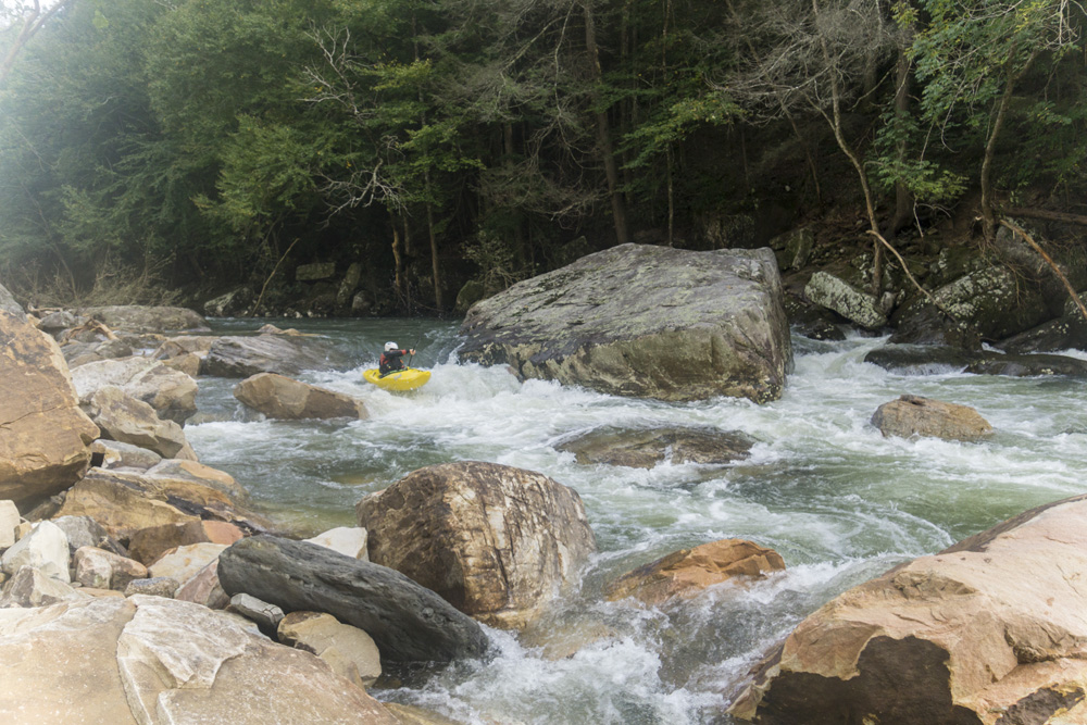
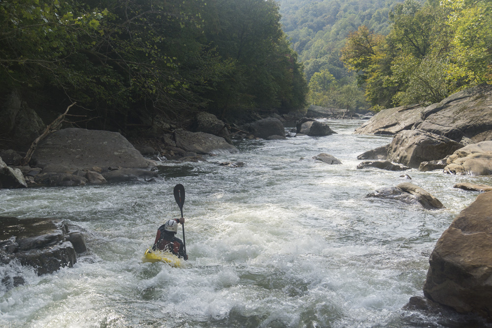
Typical boogie
- Clifty Creek enters on the right, this is the largest tributary you will pass and is a sizable small creek.
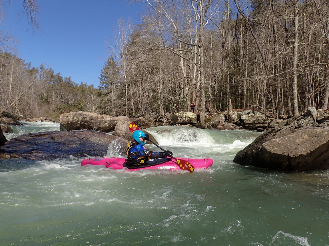
- Long Rapid (IV). A little ways after Polly Branch enters on the right and you go to either side of a quarter mile island you come to this nice fluffy section of class IV. The first rapid is nice and large with lots of different lines and holes to punch. This is followed by several fun class III drops.
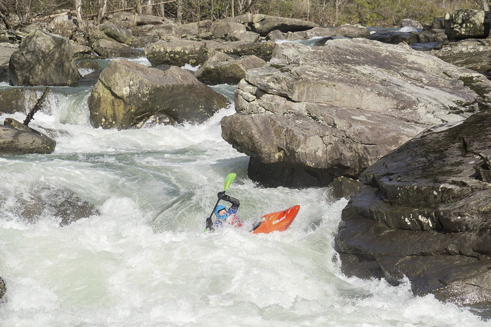
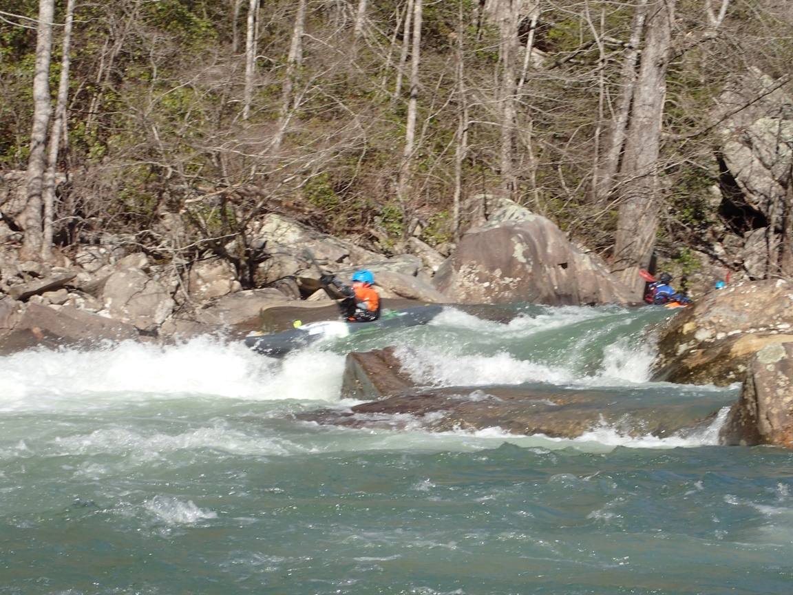
- With Care (IV). This is the most in your face dangerous rapid, but luckily is not a hard one. A river wide ledge needs to be boofed on the right with right angle as the left boiles and pushes and disappears into a sieve. Just below in the "recovery eddy" the right side also disappears into a sieve. Set safety if you are unsure of the class III move. The exit is on the right moving left. You can either stay middle in the run out or continue to drive far left to boof the left shoulder of the rock just off the left shore. Great boof!
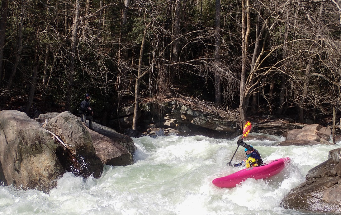
- Crux Section (IV). This is the most stacked up section on the run and in my mind is the crux. The very first move just above the meat is a nice little ledge to be run left to right. Don't boof left as it lands on rock. The second move is down the far left running down a slide with right angle to avoid a piton at the bottom. The next two moves get people... the top is a ramping hole that I ran with some left angle and momentum. That hole can get big with higher water. This immediately flows into the sweet boof at the exit left of center.
Update 2021: A pond up on the rim collapsed and sent a huge wall of rock down into the top of this section. The Slide that you need to avoid the piton, used to have a right channel to avoid this delicate move. That channel is gone and now there is more water in the slide channel and the piton is covered. I anticiapte at high flows there may be a big hole lurking here. Below, the slide into a hole seems to have gotten more punch. And then finally, the sad part, the boof that was oh so sweet, is now gone. There was a line down the middle riding the ridge of rock on the left of the center channel. At high flows this has potential to become a u-hole but perhaps with more water the old boof channel maybe fills in as an optional line.
- Thread the Eye (IV). If anywhere on this run will hold a piece of wood to surprise you, this is it. The line has a class III- lead in with no eddies leading to a totally committed pinch down the far right. If there is wood below it would be bad. Just below, go quickly to the left for a clean exit back out to the main river flow.
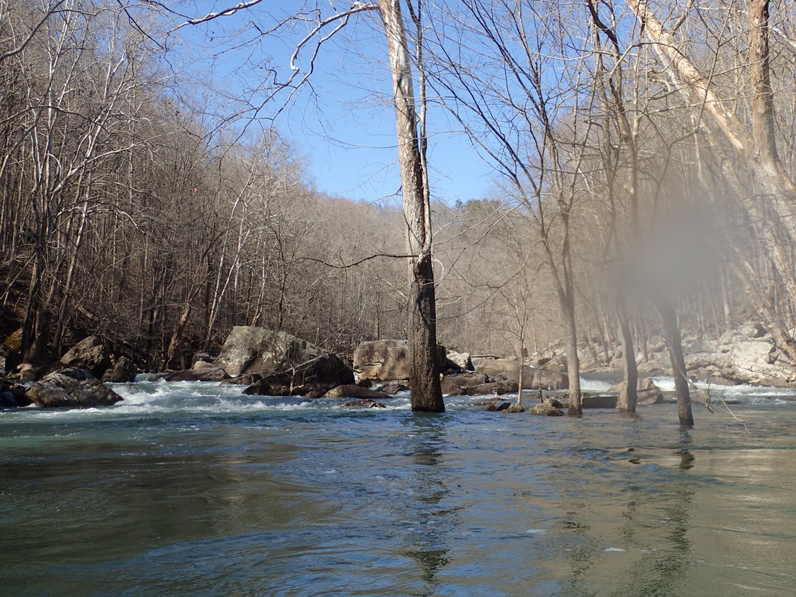
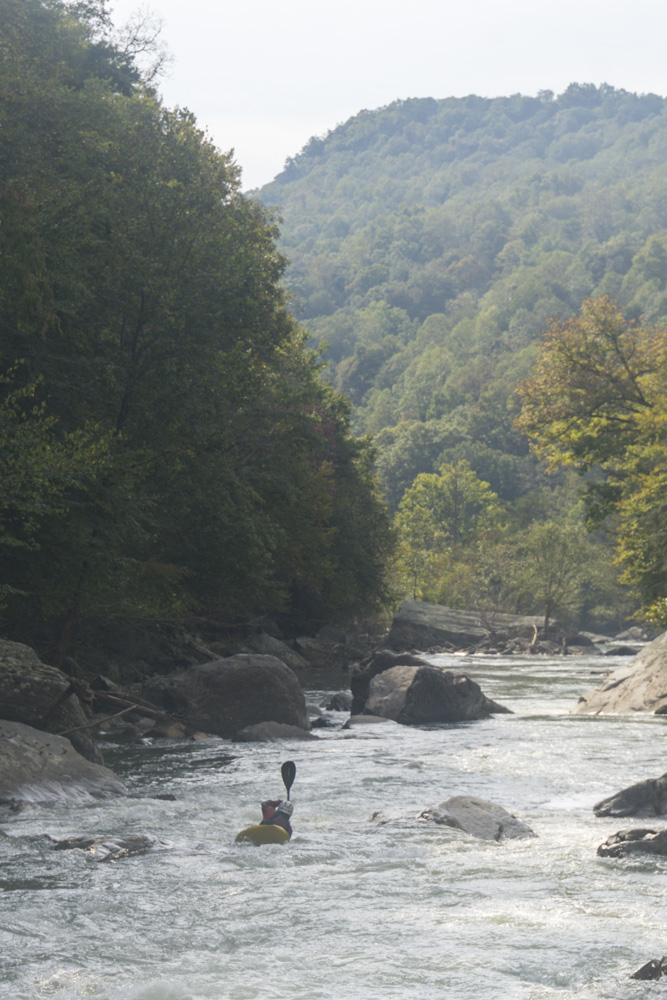
Below the river quickly peters out and comes to the flat water above Bee Creek.
For more details on the run, see the AW write-up
Take-out: Get to Crossville, approximately 1:15 hours west of Knoxville on Highway 40. Take US-70 west out of town and follow it for 16.5 miles. Turn left on Eastland Rd and follow it for 5.8 miles until you turn right on Scott Gulf Rd. (not you can also come in from the other way on Eastland which saves 2 miles but according to google takes 5 minutes longer). Scott Gulf is pretty messed up right now and you need clearance. I think my Highlander may have problems with it in its current state. Follow it for 6.4 miles down to the river.
Put-in: Drive the 6.4 miles back out to Eastland Rd and turn right. Follow this for 4.7 miles to Clifty Rd and turn right. Follow this 0.9 miles to the bridge over the river. Note that this put-in is known for break-ins.
Thus, some people choose to put-in on private property (tread lightly). For this, instead of 4.7 miles on Eastland, only go 3.2 before turning right on Eastland Cemetery Rd and follow for 1.1 miles before turning right on Toddtown Rd. In 0.6 miles before the road bends sharp left and heads into a drive way, look for a gated dirt road on the right just at the elbow. Park here and don't block the road. Walk down the gated dirt road to the river. This is private property and the owners have been friendly thus far.
HTML Comment Box is loading comments...