Butte Creek (Upper)
| Stretch: | De Salba Powerhouse to Centerville Rd |
| Difficulty: | Class IV to V |
| Distance: | 6.9 miles |
| Flows: | 400-1,200 cfs (Solid Class V at 1,000). Current Dreamflows gauge |
| Gradient: | 234 fpm for 1 mile, 106 pm for 1.2 miles, 77 fpm for 1.4 miles, then 50 fpm |
| Put-in: | Just downstream of De Salba Powerhouse |
| Take-out: | Bridge on Centerville Rd |
| Shuttle: | 10 Miles (30 minutes one-way) |
| Season: | Winter from rain, spring from snowmelt |
| Written: | © 2012 |
| Featured in Video A Wet State #59 and John Moore's rapid-by-rapid video | |
Two years ago, in 2010, Mike Ward, Diane and I drove out one January morning to do this creek. I had seen photos from Paul Gamache's high water run as well as Darin McQuoid's low water run. With water at a medium flow we expected a straightforward day. Once we were at the gate, with boats being lifted on to our shoulders for the 45 minute downhill hike, the PG&E employee comes driving up and offers to drive us down the road as he unlocks the gate for himself. 5 minutes later, we arrive at the river and begin to take a look at the first few rapids. Our first impression was terror as the rapid looked huge, we began to walk down the aqua duct a short ways to take a better look at the creek downriver and found it to be intimidatingly walled out and steep. After some deliberation, and desperate searching for a route back to the water below the first few rapids, we put our tail between our legs and hiked up the 1,500 feet vertical to the car parked at the top vowing to return another day, hopefully with someone who knew the lines!
Flash Forward 2 years to 2012. Diane and I have improved significantly over the past 2 years and have met many new friends. Two of which are Chico locals and have repeatedly told us that we need to get back out and enjoy this creek. So, on a whim, I sent text messages to Scott Yoder and Sean Corbett and found that they were in for a Saturday trip and the plan was made.
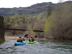
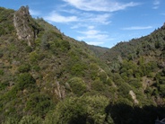
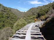
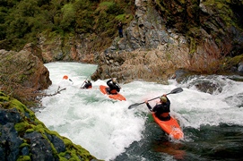
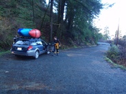
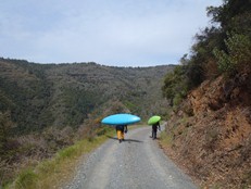
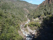
This time, we were not so lucky to get the ride down to put-in. The hike is a gentle downhill but takes 35-45 minutes all on paved road. Once at the river, you get two or three class IV warm ups before you are at Initiation. The first and most significant rapid of the run. At higher flows, the middle holes become quite large, but at the 550 cfs that we had the holes were not bad and allowed for a low stress paddle up to the crux exit. The next mile of whitewater, drops 235 feet per mile. Many steep, blind, and hard to scout rapids approach you. Depending on the flows, there is either an easy portage on the left, or a hard portage (at high flows) on the right at Three Deaths Undercut. Below is the Falls which marks the end of the steep section and the start of the mellower class IV section. This section has some great mini-gorges and a few holes to keep you honest. The termination of the run comes shortly after Chimney Rock which is a towering monolith rising out of the river and is popular among rock climbers. The 2 mile paddle out is entertaining class II-III but certainly the high point of it is the spectacular scenery that has remained hidden behind the gorge walls in the upper miles. Shear sandstone walls and towering bluffs surround you, pleasing optical senses.
I will certainly be back to this run. I think the 550 (with diversion) that we had was a great first time flow. I think I would like to go back with a bit more now that I know the rapids and am familiar with the moves. I know folks go in at 1,100 cfs and above, but the photos I have seen look scary, for sure class V at those flows. At the lower flows I would say it is mostly class IV+... however class V consequences keep it class IV-V, and probably not a good step up run. We took some 3 hours on the water, filming most of the significant rapids. Folks who know it and don't scout get done in a little over an hour. Folks in a hurry can get done in less than an hour, but I don't know why you would hurry down a cool place like this. I will be returning.
Thanks to Scott Yoderfor his contribution of photos.
Mi 0:
- Two or three warm-up read and run rapids begin immediately below the put-in eddy. When the river enters a pool, with many rocks blocking the river it is time to scout.
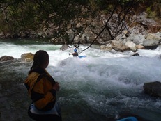
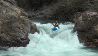
Initiation (IV+ to V). The scout on the right is easy, but doesn't allow you to see the landing zone of the crux. The scout on the left is harder but allows full inspection. We boofed a center slot, then worked far right for the two slides that can pack a punch at higher flows. The main drop can be run middle or left of center off either of the two boof points. It is best to boof with right angle back towards the wall as the hole runs with the length of the river.
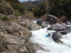
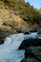
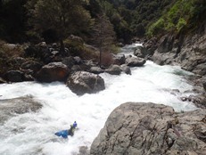
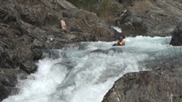
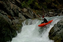
More good read and run continues around the next corner. There is a double drop with a good size hole to be punched just above one of the junkier rapids which is best run down the far right. One or two more rapids leads you to the portage.
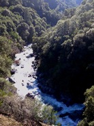
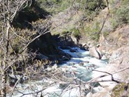

Three Deaths Undercut (V+ to U). It probably goes, but why would you? There are several ways that this rapid could end it, above and below the crux fold. At low flows, you can boof the entry and eddy out left immediately for a quick and easy river level portage. At high flows you portage early from the right up the hill side, on the cliff, and in the poison oak. If you portage left, you can run the exit down the gut (below all the hazards).
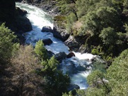
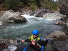
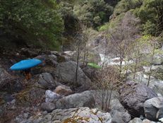
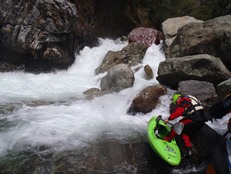
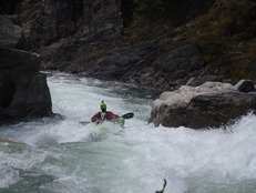
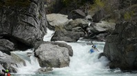
- Falls (IV to V+). A long class III lead in drops you into an eddy on the far left shore. From here, slide down a micro channel on the left to a pool just above the crux. We ran the left channel which is a vertical 12-15 foot falls. The hero line is down the right side, melting into the fold and going super deep. The river then easies up.
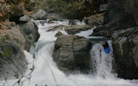
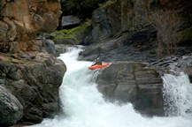
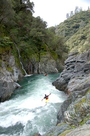
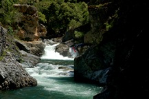
- Penalty Box (IV to IV+). An easy sluce/flume sort of lead in in the right channel of a island split leads to a small but powerful pothole. Grind the right wall around the hole.
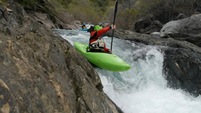
- A cool gorge rises around you with class III water and leads to a challenging section climaxing in Chimney Rock.
Boof to Junk (IV to IV+). An easy enough boof over a good size hole is then run out amongst some junky rocks.
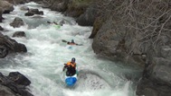
Chipper (IV to IV+). Just below, starts a long read and run rapid a hundred yards long. The entry has a powerful hole you want to boof over. On Scott Yoder's bday in 2011, he plugged the hole and took his paddle to his teeth, chipping the tips off several. Below, the river is read and run leading to the next pool.
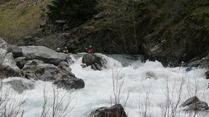
- Chimney Rock (IV to IV+). An obvious constriction and horizon line with a backdrop (as you look downriver) of the Chimney Rock monolith. An easy scout on the right. Enter middle moving right down through the holes below.
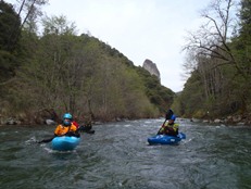
- Another cool gorge with easier class III whitewater leads to one of the crux moves of the run.
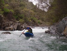
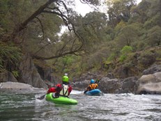
Corbett's Chaos (IV+). A weird shaped hole with a strong push into a pocket on the left wall that has trashed a person or two. You want to drive left to right and boof across the lead in and stay off the left wall. Below, the river eases up, but there are still a few ledges to not wander into...
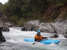
- The powerhouse on the left marks the take-out the book uses. Access is a little easier if you continue downriver another quarter mile to Centerville Rd.
Take-out: From Chico, take the Park Ave exit on the south side of town. Turn right off the off ramp onto Skyway Rd. Follow for 1.3 miles and turn left on Honey Run Rd. Follow for another 4.3 miles and turn left before cross the creek, onto Centerville Rd. Continue another 4.8 miles to where the road crosses the creek, park on the far side of the bridge.
Put-in: Continue on Centerville Rd. It soon turns to dirt but is relatively well maintained. Continue for 6.4 miles. Turn left onto cement at the Y with Nimshew Rd. In 0.5 miles turn left again on Humbug Rd. In 1.5 miles, turn left on the first road "De Sabla Powerhouse Rd." It sneaks up on you, within 100 yards you should see PG&E signs letting you know you are on the right path. Drive another 1.5 miles and park at the gate. If the gate is open, I would discourage you from driving down as that is a great way to get locked in. Once you see the powerhouse, look for a road on your left that drops steeply down to and crosses the canal. Work back upriver to drop the final 20 feet down to the water.
HTML Comment Box is loading comments...

