Brush Creek (Upper, North Fork of the Kern Tributary)
| Stretch: | Above Alder Creek to Sherman Pass Road Camp |
| Difficulty: | Class V |
| Distance: | 1.85 miles |
| Flows: | 2.5' to 5' |
| Gradient: | 495 fpm average |
| Put-in: | Off of Cherry Hill Road, above Alder Creek |
| Take-out: | Campground off of Sherman Pass Way |
| Shuttle: | 5.5 miles, 10 minutes (one way) (1.5 may have to be walked), plus 0.3 to put-in and 0.75 miles to take-out |
| Season: | Spring from snowmelt |
| Written: | © 2011 |
| Featured in Video A Wet State #44 and Austin's GoProVideo | |
I remember a few years ago watching a caliproduct short clip that featured Upper Brush. I remember thinking some of it looked very cool. However, over the past few years the thoughts of the run had faded until Eric Giddens posted a write-up of his two trips down the section of river. The photos of the rapids again peaked my interest and again to my list it was added. This year, the Kern River Festival had the highest water is the past several years resulting in the necessary 3.0 feet minimum for Upper Brush. As it turned out, as Sunday came around flow came up more and we had nearly 4.0 feet. We thought this flow was perfect. We thought that less would be bumpy (though I have heard 3 is still good), but more would push too hard into the log jams below.
Speaking of log jams, all the reports I had heard said that there was a lot of wood in this creek. They said that by putting in at Alder Creek you would get the best rapids of the run and the least of the wood. I would say that by putting in at the creek above Alder Creek you get a couple more great rapids and that the wood below Alder Creek certainly does not improve any. I do not believe there was a single instance during our day where we ran more than 200 feet straight without a wood portage. This resulted in ~20 wood portages, some ranging from 10 foot walks while others were a couple hundred yards. This, coupled with the hike into and out of the canyon resulted in a very long and tiring day. The extensive wood also shut down several of the better looking rapids as well as some of the bigger less often run drops. This resulted in only 15-20 good drops being run... yes, fewer good drops that wood portages. Also, there is a long portage around crack waterfall that is the only mandatory portage of the trip not due to wood.
Plan for a long day when going out to this creek. Also, If the road is gated, you will add a mile of hiking prior to the half mile descent to the river. At the end of the day, you will also have about a mile hike out in order to avoid the unrunnably wood congested section of river just above take out. It took us 7.5 hours from when we started hiking to when we arrived at take-out. We could have gone quicker if we had fewer than 8 people (too many) and if we took less photos, but then again we also had nothing go wrong. One mistake could easily force an unplanned slumber party. On the river, scouting will be of every foot of river and will take time. We also had to have people positioned at the base of nearly ever rapid to capture boaters before they flew into the log jams. It is because of these micro eddies that our team thought that the run was very legit class V. Very dangerous, being upside down would almost certainly result in floating into logs in all but a few of the rapids. The rapids themselves tended to be class IV+ with a few class V's thrown in, but again, the room for error was zero.
So in conclusion, was the run worth doing... marginal. Would I do it again, no, I have done it once. If there was zero wood in the run would it be great, yes. So I know that the pictures and the video are going to inspire others to go into the section, but I honestly think there are better ways to burn your calories. With that said, don't blame me if you go in and find yourself depleted of energy and wondering who indorsed the run... because I warned you.
There are more rapids than going to be mentioned here. Also, assume for every rapid named there is a log jam at the top and the bottom of it. Plus probably one or two between each of the named rapids. The put-in starts at the creek above Alder Creek.
Thanks to Darin McQuoid and Kevin Smith for sharing photos.
Mi 0.0:
- Put-in (IV+ to V-). Straight from put in is a multi ledged rapid with a few significant holes. There is literally no warm up, so I would be stressed at 5 feet on the gauge. At 4 feet it was a manageable start. Catch a micro eddy on the right just below, helps to have someone there to catch. Portage wood.
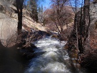
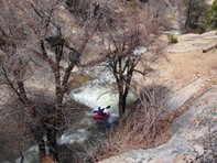
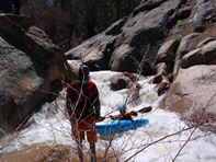
Slides (IV). Below are some fun slides and another log jam. There was also a long section that we portaged here on the left due to wood, followed by a few more quick slides leading to Alder Creek.
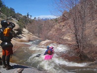
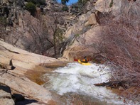
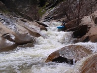
- Alder Creek (IV). And easy 8 foot waterfall should be scouted due to the fact that you land in a pool with wood surrounding all sides and water quickly flowing into a log jam. The best line was to boof right heading right and land in the eddy. Then ferry across to climb out on the log jam and start a medium length portage on the left.
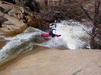
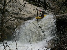
Minor Junk (IV). There was a minor junk rapid after the long portage, slide in and boof the good size hole. Then eddy out left for another wood portage bringing you to the Junk Rapid.
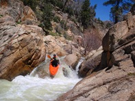
Junk (IV+). This rapid looks bad but goes fine... cept for the tree at the bottom. Just boof through the rocks to enter, then start back paddling to slow your approach to the tree, take the tree to the chest to come to a stop, and then duck the tree, no it is not duckable on the fly.
Portage (V+). This rapid has been run, though now there is a tree across the top. It is a slide into a 15 foot falls that lands in rocks.
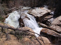
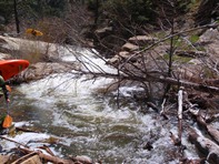
Double Slide (IV). A cool double slide, best run on far left, leads to a brief portage and the start of the exceptional.
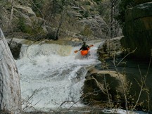
- Kettle and Pot (IV+ to V). This rapid would super sweet if it weren't not for a very large and full of branch tree in the middle of it. Also, it would be really hard to portage. So, after doing a log portage above the drop, slide in at the lip off of a log and run the first 10-12 foot falls boofing right. Do not exit with the main flow as it will take you straight to the tree. Instead, get to the right and punch the sticky pourover in the slot to get to the eddy on the right. Now either portage the large tree sliding in just below, or pick your way slowly and carefully through the branches. Ten feet below the tree is a very sticky 6 foot drop (Pot). Boof this on the left side, then run a slide down and get out on the left to scout one of the bigger drops.
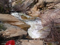
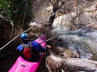
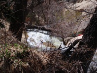
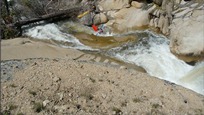
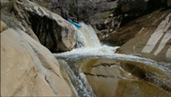
Second Drop (V). A very large and shallow slide. It is pretty straight forward but the issue is the top 8 footer that lands in 2 inches of water. Get your nose down to aid with the transition and then fly down the slide below trying to stay off the right wall. Eddy out left and portage wood and scout "Mary Jane" just below. This rapid is easy to portage on river left and was only run by two of the eight in our group.
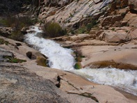
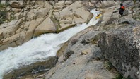
Mary and Jane (V). Along with "Kettle and Pot" and the Gorge Exit Drops, this rapid is what made the run sufferable. Mary is a slopping 18 footer into a sticky hole. Try to get right, it seemed with you skipped over the top of got buried. One person got worked, it is worth setting some safety here. Twenty feet below the river drops over an ugly slide that goes much better than it looks. Head down left of center, it looks like you are going to nail the wall but the curtain coming off of it pushes you nicely away. Eddy out left to portage wood. Scout and portage left.
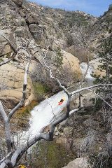
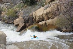
Don't Mess These Up (V-). Scout on the left after the above mentioned portage. A slide should be run far far right to boof around a shelf. The next drop turns 90 degree right and drops you into a hole, be on the far right of that drop too. Then catch a very small "eddy" ten feet below on the right at the mouth of a small creek coming in. Logs block just downstream and just below the logs are the mandatory portage. If I had known what was below I would have been much more stressed above this drop.
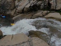
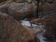
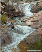
- Final Gorge
Mandatory Portage (U). The only unrun rapid on the section. I actually didn't even take the time to look at it. But am told it is a 40ish footer crack drop that is ugly.
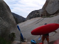
First Slide (IV+). If you want to run this slide, you will have to work harder to put in below the falls. We kept on carrying on the right past this and the next slide.
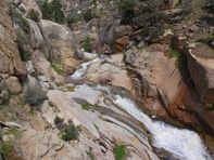
Second Slide (IV+ to V). It looked like fun, cept it landed on a shelf. So we kept walking and did a rope assisted lowering of the boats below this slide and immediately above the Exit Slide.
Exit Slide (V- to V). It looked mandatory, and it looked intimidating, but don't think too much about it because you don't really have a choice. Drive left in the entry and stay left as much as possibly. Inevitably you will fade to the right and hit the kicker and plug into the hole below. Eddy out right or left (right is best) and portage wood.
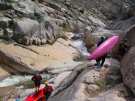
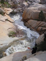
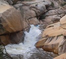
Exit Falls (IV+ to V-). Slide in on the log and drive left and do a wall slide boof on the left side. Eddy out left in a stupid small eddy that is assisted by 2 very small bushes in the river bed and portage wood on the left.
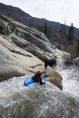
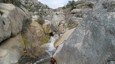
- Crack Drop (V to V+). Another rarely run drop, this drop was a complete non-option as it had a log across the bottom. It is a long drop tight within a S-turning chute only 1.5 boats wide. It would hurt to run, even if successful.
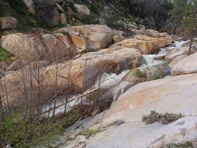
Boogie (IV+ to V). Below here there are several multi move rapids, a few with large holes to be negotiated. We scouted it all and portaged wood once or twice. Once you can see the canyon opening up, we got out on the right, carried up a small hill and then hiked on game trails in a generally downward direction to the camp and car's about a mile away.
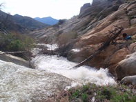
Take-out: From Kern River Brewery in Kernville, take Highway 155 19.3 miles and turn right on Sherman Pass Road (if you get to Johnsondale Bridge, you have gone too far). Drive 1.8 miles to the helipad that is the parking lot for the Lower Brush Creek Put-in. Turn right on the dirt road and follow down to the campground below. This is the take-out, you will end up hiking off earlier and heading here.
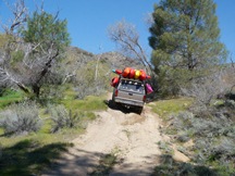
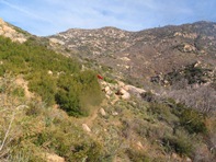
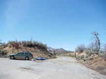
Put-in: Head back to Sherman Pass Road. Drive another 4.4 miles, turn left on Forest Service Road 22s12. There may be a locked gate here, there was for us, and thus the hike just got longer. Hike 1.5 miles, over Alder Creek (or you can find a way down and put-in near the confluence of Alder Creek for fewer portages though missing out on some of the better drops). You will hike past a ravine on you right after which the road sweeps left, on the left sweep, head down the backside of the ridge to the river below. Put-in below the confluence after the major log jams.
HTML Comment Box is loading comments...
