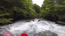
Gave du Brousset (Classic Section)
| Stretch: | Above Lac de Fabrèges |
| Difficulty: | Class IV (IV+ to V) |
| Distance: | 3.85 km |
| Flows: | 50-120 cm on the stick gauge (we had 55 cm and it was low but great for the gorge) |
| Gradient: | 160 fpm average |
| Put-in: | Valley foot bridge |
| Take-out: | Powerhouse |
| Shuttle: | 2-4 km, 5 min |
| Season: | Spring from snowmelt and rain |
| Written: | © 2018 |
| Featured in A Wet State #139 | |
Pyrenees 2018 - Day 10:
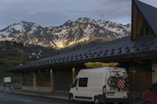
Waking up on the side of a major road, we certainly didn't sleep long. Nor did we cook a big breakfast. Instead, we quickly stirred and packed up. After a short breakfast in Harry's heated van anyways. The plan was to drive the very short distance to the summit and down to where the put in on the Brousset was. Surprisingly this was only like 10 minutes away. After 5 minutes of driving we find Reiner who had left just before us. He was pissed. He drove down and saw that the river was low. We went to look for ourselves. Going down we saw that it was in fact low. But also, I remembered not finding the exact put-in when I marked the GPS coordinates before our trip. So we continued down the river a little ways to the take-out and found there it was enough water. Just enough. After deciding to boat it, we backtracked to the valley above the final rapids and put in there.
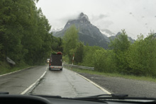
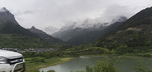
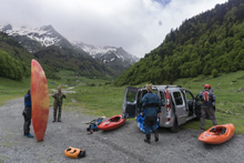
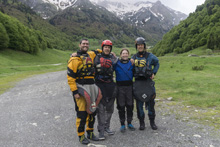
At put-in we met a nice pair of French guys. They spoke no English. And Diane's very meager French did not bridge the gap. But regardless, we had a fun 20 minutes talking to them as we got ready for the river. On the water, we quickly got to the first few rapids which we read and run, and turned out to be much more fun that they appeared from the road. It didn't feel ELF, for that we were grateful. Soon, we found ourselves at a sieved out rapid that we noted on the drive as a scout, so we scouted and ran it in pairs. Below, we soon found ourselves in the final gorge.
Harry scouted the top drop of the final gorge while checking the gauge. So we followed him through the fun s-turn. Next was a small ledge. The final was a drop that was bigger than any of us expected. Felt like class IV+ for sure. This was a three turn s drop. The entrance was a boof, the second was a non-vertical into a large cushion, and then it goes around a final corner for the bigger than perceived exit which was a double drop. Really great drop. Then immediately below you hit the weir and there is a sign of the mandatory take-out before the powerhouse. So we abided.
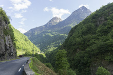
This run is short. But it is totally worth while. We had 55 cm on the gauge which is in the final gorge. Min is called as 50 in the book. They say that the max for running everything is 120 or so, but damn that final gorge would be stout with that much I think! As it was, the final gorge did not feel low at all. Only the stuff in the valley felt low for us. So anyways, the run is worth doing. The scenery in the valley is really nice and unique, and the gorge is fun and just intimidating enough. So I recommend adding this as a stop if you are passing this way.
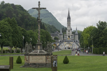
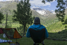
That night, we drove down to Lourdes and did a little sightseeing. We walked around the famous Grotto cathedral in Lourdes and got some ice cream. A few days later we met some folks from Portugal whose car was broken into in Lourdes and everything of theirs was stolen. In hindsight, perhaps we should have taken more precaution. But for us it all worked out. That night, we drove up the Gavernie and met Harry at a campsite up on the valley's side, overlooking the river and its tributary the d'Heas. Such a pretty place. Soon, the rain came in and we hunkered down for the night.
Previous: Pyrenees 2018 - Day 9: Ara (Broto to Fiscal)
Next: Pyrenees 2018 - Day 10: Gave de Gavarnie (Gorge de Luz)
Km 0.0:
- Upper Put-in. This needs more water than what we had. From the satellite there might be two rapids in here. But mostly it is just open valley.
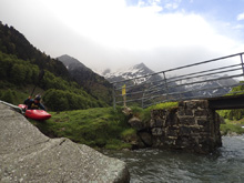
- Our Put in at the lower bridge in the valley.
Warm-up (III). The first rapid was a nice little warm up that we ran down the left. There was a nice bedrock ramp before some boulders in the exit that we hugged the left for.
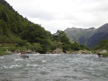
- Ramp (III+ to IV). A nice boogie rapid that we took left to right led to a ramp to the right of a large boulder. The ramp was good to go down the middle and throw the small hole below. Avoid being far left on the ramp as the rock is a bit undercut, especially at the top of the ramp.
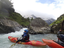
- Under the Bridge (III+ to IV-). Directly under the next bridge is a congested rapid. From above it looks like you need to scout it, but it turns out the initial rock row is all it has. We ran down the right of center through two tiers. Then around the corner you enter the next rapid.
Entrance (III-). We entered down the right side of a low island. Either side is fine. It is mellow. Once you go around the house sized rock you are in the main rapid.
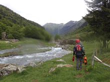
Land of Giants (IV to IV+). Not overly hard but a very large sieve is in play just off the line. We entered far left, so that way we could carry good left to right through the top. So in the middle, we could shed that momentum and then have room to start going back right to left to avoid the sieve and boof the exit. The exit was a turning 4 foot ledge and the hole was fine at these flows.
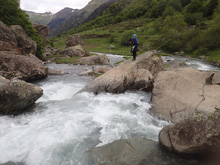
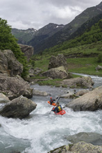
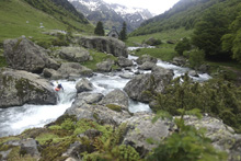
Boogie (III to IV-). Some fun boogie was downstream. There was one rapid that we had to do a hard left to right ferry at the top to avoid an ugly rock fense.
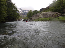
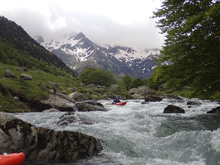
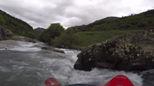
- S-turn (IV to IV+). Best to scout this from the road on the way up, when you check the gauge, walk up 100 ft to look at this. One the water we just boated through it. Boof the left shoulder of the channel and turn your bow left so that when you land you go around the rock fence blocking the right half of the river.
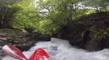
Small S-Turn (III). A small s-turn is run down the middle.
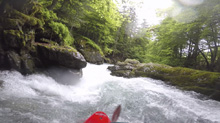
Ledge (III). 100 yards downstream is a small 4 foot ledge that we ran far left. We then immediately got out left to scout.
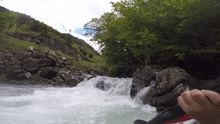
Climax (IV+ to V). I can imagine at high flows this is a beast! For us it was still a fun multi move rapid. The entrance we ran left over a ramping ledge. The second tier was immediately below, we wanted to have left to right but the tier above did not make that easy. The second tier melted a bit to the left into a big cushion. In hindsight the cushion was less powerful than we anticipated so the fact none of us nailed the transition between the two, it didn't matter. There was then 20 feet of respite before the exit which was two tiered that you wanted to run left of center moving left boofing over the first hole and staying away from the right wall below.
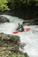
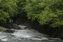
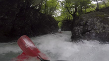
- Weir (II+). Just downstream is a weir with a sign that says "mandatory exit" so we got out here. I have seen pics though, and just below the powerhouse there is one more rapid that looks nice before you hit the lake. Oh well.
Take-out: The take-out is at the top of the lake, Lac de Fabreges, on D934. Well, it is actually a few hundred meters upstream at the powerhouse where it says take-out is required. This is a mere 9.5 km from the summit of the pass, and the border with France.
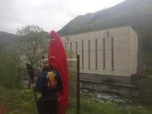
Put-in: We used a put in lower down the valley, using a dirt road that drops down 2.0 km up from the Powerhouse. The French website and the guidebook say to go 2 km further and park at a turn out, and walk down to a bridge over the river. There is a small turn out just after a small creek on a firm left turn, that could work for sure.
HTML Comment Box is loading comments...

