Boite
| Stretch: | Acuabona to San Vito di Cadore |
| Difficulty: | Class IV to IV+ |
| Distance: | 0.7 miles |
| Flows: | No gauge (Maybe 400-700 cfs) |
| Gradient: | 102 fpm average (163 fpm from mile 1.6 to 3.2) |
| Put-in: | Bridge in Aquabona |
| Take-out: | Bridge in San Vito di Cadore |
| Shuttle: | 8.1 km |
| Season: | Spring (Rain/snowmelt) |
| Written: | © 2016 |
Austria & More 2016: Day 9 Morning
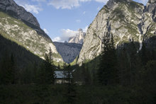
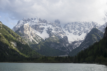
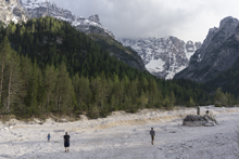
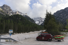
Waking up in Italy, we were slow to pack our stuff up as the rain was still lingering. The dry riverbed we had camped next to had a small trickle of water coming down it. I can only imagine the rainfalls that it must take to make the entire riverbed fill with water! With hope to get on the river before the rain started, Jim and I eventually packed up and headed further into the Dolomites to the town of Cortina, site of the 1956 winter Olympics. The drive was quite spectacular, though views of the Dolomites themselves at this point were already beginning to be obscured. Part of our hurry was to see the scenery, but the other part was that Jim and I were on our own this day. Harry was taking a family day and Reiner had gone home for a few days of work the night before. This meant we would be hitching our shuttle. An adventure in its own right as prior to this trip I was trying to study (learn) some German and took no time to brush up on my Italian which I have left stagnant for the past 2 years. But it would be made easier if I was still dry at that point of the day. With that in mind, we dropped boats and I drive to take out to drop the car to hitch at the start. To my luck, the first car picked me up and I had a very nice conversation... at least I assume it was nice, I didn't understand much of what he said but I did get he was going to Cortina which was perfect because put-in was just a few kilometers on the close side of the town in the town of Aquabona. Not to brag, but I guess I am basically fluent in Italian. Jk.
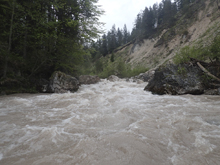
The run was called the "Pearl of the Dolomites" in the German guidebook that we were provided by the Italians at the put-in for the Defereggenbach Waterfalls. So which high hopes we shoved off just as the rain really started and the mountains disappeared. The run was supposed to be relatively short. So I anticipated it would be action from the start. The river was high, there was a lot of construction, and all we had was splashy class II for a mile or two in an ugly little canyon with construction debris sides to it. I began to dread thinking that this construction must have buried whatever used to be there. But to our luck, just around the corner, the rapids began and once they began, they did not cease.
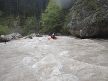
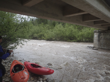
Jim and I both agreed that the water was high, however we also both agreed that we felt it was a nice balance of cleaning things up and still not overly pushy. But certainly continuous. Swimming would be bad at those flows... what the flow was we have no idea because there is no gauge. But you could see three rocks raising the water directly downstream of the put-in bridge. Returning for the second lap, we found the water an inch lower. I decided to sit it out and run shuttle for Jim who took a solo lap. He reported it a little bonier with less water.
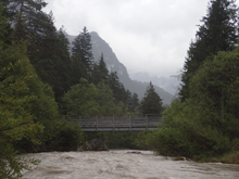
The rapids though were fun boulder garden affairs. Though surprisingly, for all of those boulder gardens there were no boofs. But there were a few sieves to avoid. For the most part they were not bad, but there was one in particular in the first half of the hard rapids that you wanted to avoid to the left as it took the water on the right shore. It was a fairly blind rapid so we also just happened to scout it on the right before dropping in. The crux for me was a section where the river split in two, we opted for the right channel which was great at the top (I scouted) but then dead ended in crap at the bottom (whoops). Luckily a few micro eddies were present so I was able to climb up to the footbridge overhead and spot a micro channel back to the left channel which we could take. Downstream, things let up but stay on your toes as there is a weir which we portaged. It went on the left, but wasn't worth it at those flows. Downstream, you quickly get to take-out.
After our run and Jim's lap, we quickly went shopping for food as we were out and then headed back out of town with hopes of running the Reinbach Falls the following morning. We had promised Harry we wouldn't run them without him...
Thanks to Harald and Reiner Glanz and Jim Janney for sharing photos and for making the trip possible!
Last: Austria & More 2016: Day 8 Afternoon - Defereggenbach (Tunnel Run)
Next: Austria & More 2016: Day 9 Afternoon - Aurino (Schloss)
Also, a quick disclaimer. We had high water and just routed into most of the drops. That with the lack of GoPros (I forgot to put my battery in until I was at river level, so it fogged up immediately and Jim's ran out of battery in the first rapid) this is by no mean a comprehensive list of rapids. Rather a few landmarks and a few pieces of info that are most useful if you find yourself here.
Mi 0.0:
- Mellow (II). This section is super mellow as it has been filled with small rocks from the constructed hill sides. It is also a bit ugly... but at least everything improves downstream. Also, if it was clear I think this section would have nice mountain views of what surrounds you.
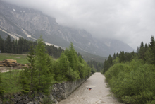
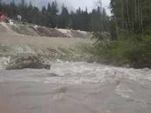
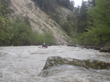
- Cutback (IV). This rapid led us down into a small eddy on the right. I hoped out quickly to scout here. The river then went into a rocky pile. We ferried out into a small chute cutting back to the left.
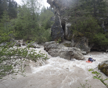
Boogie (IV). More of the read and run boogie...
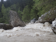
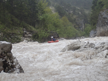
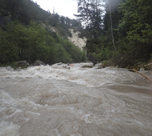
- Sieve (IV to IV+). This drop started as part of a longer drop that led to a blind curve over a ledge and around a corner. We hoped out on the right to scout. It turns out the bulk of the water heads to a sieve with a small ramping hole above it. As long as you know that sieve is there, it was easy enough to drive left away from the sieve. Downstream were several more ramping holes. This is one of the crux sections I felt like. Downstream it eased up once you exit the last ramp hole
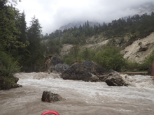
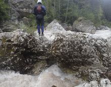
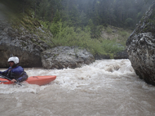
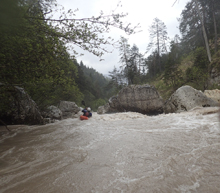
- Boogie (III). Starts to pick up again...
- Pre-Island (IV). From a distance up river you can tell that this is picking up at the bottom in a rock fence horizon line. The line looked like being center and driving right would be good to go. Rather than commit we caught an eddy on the left near the horizon to confirm. We then ferried and ran the middle driving right just like we thought.
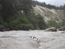
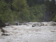
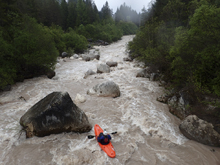
Island (IV+). Downstream was a tricky section. The river splits around an island and there is a footbridge overhead. I scouted the first part and saw that the right was good to go, the bottom I couldn't quite see but it looked like it would be ok. As we entered and boofed a few nice holes and approached the bottom it became clear the exit over there was very congested. We scrambled for non-existent eddies Both finding rocks to clamber onto I managed to crawl out of my boat to scout. The exit was too congested but there was a small channel to move back to the left. I still don't know what the top part was like on the left, it would be worth scouting from the bridge ahead of dropping it to see. From the pic below it looks fluffy and fun over there. Downstream it is much easier from here on out.
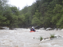
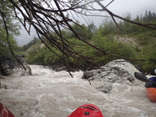
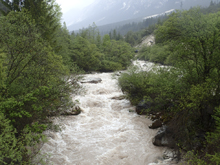
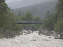
- Weir (?). At lower flows I bet it is runnable. Even at the higher flows there was a line on the far left. But weirs are so damn dangerous. We portaged on the left.
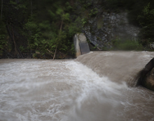
- Bridge (III). A bridge is overhead and there are some small rapids. Nothing hard. But, this is not take-out.
- Boof 1 (III-). A large rock blocks the river, we went to the right around it.
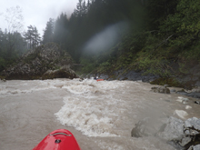
Boof 2 (IV-). Just downstream there was a horizon, we boofed the far right of this drop. It was the best boof of the run!
- Another Bridge. I didn't think it was take-out, but also wasn't sure, so I got out to take a look and make sure. Downstream, once you see the brick walls begin to line the river, that is how you know you are getting to the correct bridge. We exited on river right just below the bridge.
Take-out: From Cortina d'Ampezzo, head south on SS51 for 12 km to the town of San Vito di Cadore. In the middle of town, on a right bend, look for Via Senes dropping to your right down to the river. There is parking just upstream of the bridge.
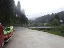
Put-in: Head back to Cortina. Follow SS51 north for 7.3 km to the town of Aquabona. Just past the Area 51 Restaurant, turn left onto Localita Pian da Lago and drop down to the river. This was actually a bit of a residential area... but there was a wide gravel area across from the house.
HTML Comment Box is loading comments...

