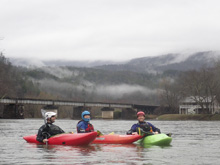
Big Lost Creek
| Stretch: | Lost Creek Campground to Hiwassee River |
| Difficulty: | Class II to IV |
| Distance: | 3.4 miles (plus 0.75 miles on the Hiwassee) |
| Flows: | No gauge, 2" of rain in prior 18 hrs) |
| Gradient: | 240 fpm average for the half mile gorge, 51 fpm after, 14 fpm before |
| Put-in: | Lost Creek Campground at the bridge on Lost Creek Rd |
| Take-out: | Hiwassee River Access in Reliance |
| Shuttle: | 8.5 miles, (25 minutes one-way, half nice dirt road) |
| Season: | Fall, Winter, and Spring from rain |
| Written: | © 2019 |
| Featured in A Wet State #150 | |
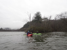
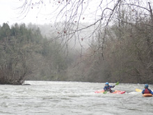
I hadn't heard of this river until a few days ago. Kirk had done it the morning that we did the Citico, and he told us about it when we randomly ran into him as we both scouted Shallow Falls on Bald River after he hiked in and we paddled down from the top. Brandon Beaty got the run on the map this past fall with a run and some pics, and earlier this week he repeated it. That inspired Kirk's run that day. So then this day came... and all the heavens opened up and began to flood Tennessee in an epic way, the floods of February 2019. Ones to remember! With nearly everything flooded, we headed south with Kirk who thought this would be at a perfect flow. Joining us was his family, Jeff Moore, and Edgar who had stayed with us the night before.
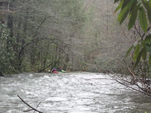
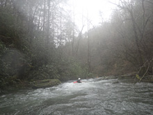
The run starts off mellow enough, but captured in the middle of the run, is a half mile of fantastic class III and IV. Six rapids in total, all in a half mile, make for a truly nice class IV gorge. The kicker is that the trial is just above the river which allows for laps to be walked easily. The nature of the rapids is different than most of the south east, at least at the medium or even medium fluffy flow we had. Seems, holes, water boofs, and tongues were to be had. There was one exception which is the 4th rapid which is a bit junky. But the rest are awesome!
Anyways, we had 0.75" of rain in the prior 12 hrs, though that was on top of a well primed and running low already. I bet it would take 2" to get it going to our flow. Though people run it with half the water and it is apparently still nice.
Mi 0.0: Mi 1.25:
- First Rapid (IV). Not far after the river makes a 179 degree left turn, you get to this first rapid. It is unmistakable as the river drops out under you. Scout left or eddy hop. There are three parts to the rapid. The top part was a tongue down the right. The second was a flake that was easiest left of center, though right of center also went fine though a seam could bury you. The final third part had two options, a easy micro channel boof on the right or a boof over a fluffy hole on the left. If you run left, the right side of the ledge was best.
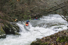
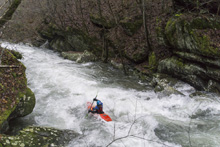
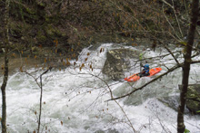
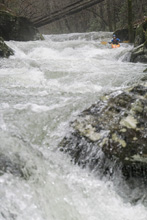
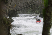
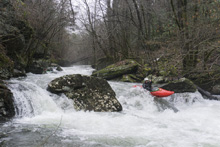
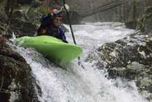
Second Rapid (III). This next rapid was just a rock garden. Left of center was best working left at the bottom to avoid the rock right of center that a low of the water ran into.
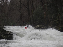
Third Rapid (IV). The biggest rapid on the run. At low flow, you run the top move on the right. But our day, it was a bit of a folding move with a sticky hole. The one person who went over there got backendered. The rest of us went off the left side of the middle rock to boof over the ledge. The landing tended to want to push you hard right, but for the next hole you wanted to be in the middle which led to another seaming fold which was also best in the middle. It then finally took a break, where we eddied out on the left.
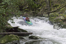
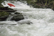
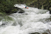
Forth Rapid (IV). Immediately downstream, was wood blocking 75% of the river, but having a small opening on the left. We went down the left and boofed through this rock infested rapid. It is by far the least clean. Part of the rating is that the next rapid has an ugly rock in it that I wouldn't want to swim into.
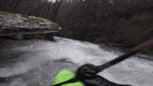
Fifth Rapid (IV). A small ledge formed a surpringly strong hole, boof through that right of center, and then line up for the main channel which ramps down through a soft hole. To the right of the ramp is an ugly rock that I would not want to tangle with.
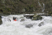
Sixth Rapid (III). One last rapid is run down the center. It has a hump at the bottom that looks like a shallow rock, but there is enough water, even at low flows to go straight over it.
- Boogie (I to II-). The paddle out is mellow...
Take-out: From US-411, near Austral, just after you cross the Hiwassee (heading south) you will turn left onto TN-30E. Follow this for 6.0 miles to the town of Reliance. As TN-30 bends up and way from the river, take a left onto Ellis Creek Rd toward Hiwassee Outfitters. Just before Outfitters, turn left into the parking area and river access.
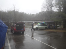
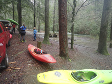
Put-in: Go back to TN-30 and keep going, up and away from the river for 1.3 miles. Turn left onto Lost Creek Rd which is a dirt road. Follow this for 6.9 miles. Just after the bridge over Big Lost Creek, take a left into the camping area. We parked outside the camping area to avoid a ticket.
HTML Comment Box is loading comments...

