Bear Creek (Lower Teddy Bear)
| Stretch: | Canyon Rim Rd to the Little River |
| Difficulty: | Class IV- to IV |
| Distance: | 2.65 miles (plus an optional 5.65 on the Little) |
| Flows: | 0-12 inches at Put-in. Need ~2+ inches of rain in the previous 24 hrs |
| Gradient: | 124 fpm |
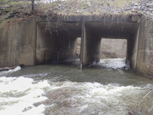
| Put-in: | Bridge/Culvert on Canyon Rim Rd. |
| Take-out: | Either at the Eberhart Point Trail (Confluence with the Little) or down at Canyon Mouth Picnic Area. |
| Shuttle: | 2.65 miles plus a half mile hike. Or 10.3 miles. (5 minutes or 20 minutes) |
| Season: | Fall/Winter/Spring from rain |
| Written: | © 2018 |
| Featured in Video A Wet State #135 | |
This day started with a different plan in mind than how we ended up. We woke up the morning after Maria Noakes memorial, expecting to lay low at home. The rain hadn't hit near us and I didn't bother looking at gauges. We make breakfast and begin to settle in, when at 10 am Jim shoots us a note and asks if we want to go to Alabama. At first we mistakenly think it was a 3.5 hr drive and decline, to which we learn it is a 2.5-3 hr drive... we waver... and a few minutes later we are loading up our gear and hitting the road.
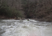
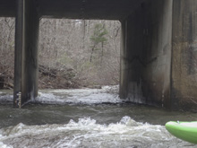
With 2 inches of rain in the previous 24 hrs, we know that Johnnies for sure will be in, if not maybe even too high. With that in mind, we make plans to start our day with Teddy Bear, and head that way with hopes of enough water. Arriving at put-in, we find a minimum flow, but it looks like enough to float, so we put on.
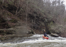
Immediately downstream is the first steep and somewhat blind rapid. Below, things mellow into mostly class II with some aggressive brush. As the walls start to rise you begin to get an occasional class III and soon an occasional class IV rapid. The rapids tend to be steep and boulder, and seemingly always full of brush. We had to hopped out for one, I think most groups would likely hop out for at least one more.
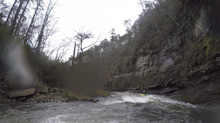
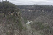
When this is running, the waterfalls splash down on you throughout the canyon, it is really one of the best reasons to be in here to be honest. For a run that was rated class IV in the guide sources, I was surprised at how mellow the run was. A few rapids were class IV, but most of it was much easier. Maybe higher flow it all becomes more continuous, I am not sure. But this run for us was a solid step, if not even 1.5 steps, easier than Johnnies... a run that we would do later in the day. But don't let that dissuade you. The run is still fun, and the scenery awesome. Plus, if you want, you can paddle out some high water Chairlift section of the LRC. Or, you can get some exercise in and hike your body and your boat up out of the canyon. You're call. For us, we only had the one car, so we hike out and then Jim ran the shuttle. It is nice when a friend of yours has endless energy and is always game for more exercise.
Mi 0.05:
- First Rapid (III+). The first rapid is just below put-in and a little blind from a above. We started right and drove left away from an undercut on the right.
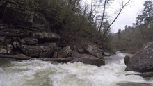
Things get brushy for a bit...
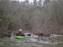
- Bear's Den (III). Some wonderful waterfalls come in on this run. One comes in just behind a rapid. I believe this is what is called Bear's Den.
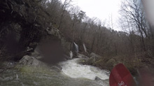
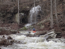
Cauldron (IV). The first sizable rapid is a pour over that is straight forward. We just boofed down the middle. It is maybe 6-8 feet tall. I bet at high flows this hole is bad as it is a little boxed in. At low flow, it was super tame.
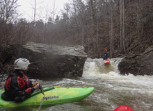
The Big Chair (IV). This is a congested pile of rocks. I have seen photos of people running the right side. I think you want a smidge more water to make that clean. So we hugged the left wall and avoid a piton by keeping left angle.
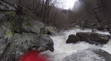
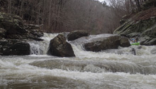
More boogie
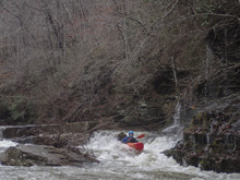
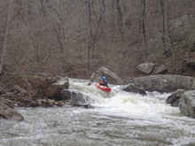
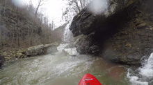
- Hard Day's Night (IV). Probably the biggest rapid on the run, this one comes in a congested corridor. I bet at high flows it will sneak up on you. Again, I have seen photos with more water of folks running the right side boof. At our low flow that looked scrappy so we ran down the left with some right angle and momentum to avoid an undercut on the left in the landing.
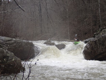
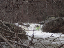
- Hallway (III). There was a nice hallway that we boofed in the middle before going around a corner to exit.
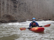
- Ledge (III-). After a nice low angle slide, you get to a 3-4 foot ledge. We ran far left.
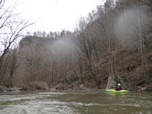
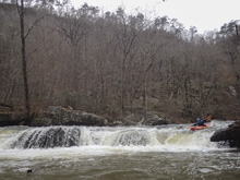
A little more boogie leads to the confluence
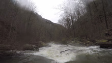
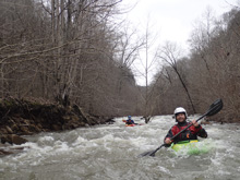
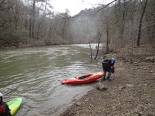
- The confluence with the Little River brings a full sized flow into play. Either run one small rapid and eddy out at the obvious beach to start your hike up and out, or continue down through the Chairlift section for 5.65 more miles of boating.
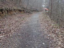
Eberhart Point Take-out: From Fort Payne, drive 7.3 miles on Highway 35. Turn right on Little River Parkway. After 6.0 miles you will get to the Eberhart Point. Make sure you stay left at a big island split of the road otherwise you may just drive by the point. Park here, though it is a short hike up the river steeply climbing some 500 feet of elevation.
Canyon Mouth Picnic Area Take-out: From Fort Payne, the quickest way to take-out is to head to the South East side of the river. To do this, take AL-35 S. After 8 or so miles, you will cross the river. Continue down into the valley for a total of 10.4 miles from town, and turn right onto AL-273 S. Continue on AL-273 for 7.2 miles before turning right, just after you cross the river, on Cherokee County 275. Follow this for 1.2 miles. Park outside the park at the entrance sign, or pay the $3 to park inside the park.
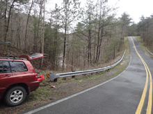
Put-in: From Canyon Mouth take-out, continue heading up river on Cherokee County 275, in 0.6 miles, turn right to stay on it. Follow this for 2.0 miles before turning right to stay on it again. Cross Johnnies Creek and turn left onto County Road 43. After 2.3 miles you will continue straight onto County Rd 127 and continue for another 0.8 miles before turning right onto AL-176. Follow this for 1.5 miles to the turn-out and trail access on your right where the Eberhart Point access is. Continue up river for an additional 2.7 miles to where the road crosses Bear Creek and park on the far side on the shoulder.
HTML Comment Box is loading comments...

