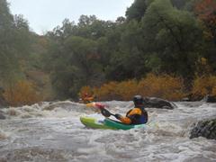
Battle Creek
| Stretch: | South Fork Battle Creek to Coleman Fish Hatchery |
| Difficulty: | Class III |
| Distance: | 11.4 miles |
| Flows: | 800-?,000+ cfs at take-out. Current Dreamflows gauge |
| Gradient: | 57 fpm for 6 miles, then 46 fpm for 5 miles |
| Put-in: | Manton Rd |
| Take-out: | Low Dam on Colemand Fish Hatcher Rd |
| Shuttle: | 22.5 miles. All Paved, 50 minutes one way |
| Season: | Winter and Spring from Rain |
| Written: | © 2012 |
Battle Creek is a little class III creek outside of Redding near the town of Anderson. I first learned of this run on cacreeks (click here for a write-up with lower water) several years ago when I was looking for class III rivers to explore. As I drive by Anderson every few months on the way to my parents' house, you would think I would have managed to catch this creek with water sooner. But alas, enough was enough. And with fear of rivers going Richter due to the first big storm 2013 season (on 12/1/12)... I began looking for new runs that could also hold water. And thus, the Battle Creek plan came to be!
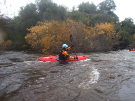
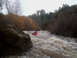
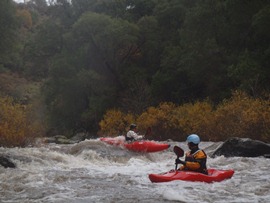
Battle Creek can be run with huge water, upwards of 10,000 cfs so I was told. We had a solid juicy, moderately flooded flow of 1,440 cfs. At this flow, it was still a class III run, but was linked together and in many places, in amongst the strainers. Thus, probably not a great place for a class III boater. At flows down at 800 cfs, it looks much more of the friendly class III variety but still can be continuous at times.
The river itself did not hold a very distinct character, probably due to the higher flow. Only two rapids really stuck out in my mind. The first was at a split in the river where the water went down a narrow passage between the shore and the brush, only to end in a fun boof. The second was the big rapid of the run. It probably bordered on class IV due to the length of the rapid, though none of the moves were harder than class III. At 1,400 there were no eddies to scout, but the rapid went just fine. With less water, you can scout and portage on the right.
In all, I enjoyed this run more than Stony Creek. Longer in total and longer in the section with good rapids compared to Stony. It is also easier than Clear Creek in Redding. It is worth doing if in the area, or a class III/IV boater looking for a new adventure, but probably not worth driving from Sacramento for unless you are like me and just really enjoy getting on new runs. The large drainage on this one makes it runnable much more often than many of the other valley streams in the area.
My mileage from Google Earth differs greatly compared to cacreeks... cacreeks mileage is certainly how it felt... so I am not sure why Google Earth makes it less distance to the big rapid.
Mi 0:
- The rapids start out immediately downstream. In 2012 there was some brush 100 yards downstream that we went right of. It clears up and you get to some long class III- rapids.
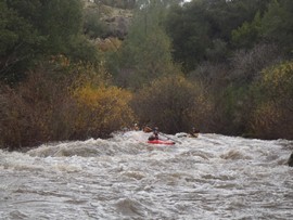
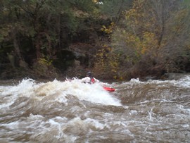
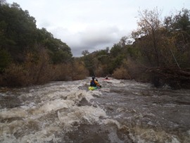
- Down the Right (III). The first distinct rapid came at a split in the river around a brush island. Down the right was a fun little chute with a small ledge at the end. At low flows, apparently it is a small crack just barely big enough for a boat... but big enough!
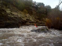
- Morgan Creek enters on the right... we honestly didn't even see it. But the photos on cacreeks make it seem like a cool place to take a lunch break. Just around the next corner is an old diversion dam site.
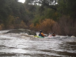
- The Big One (IV). At the high flows, I would call this rapid class IV, not overly hard... but long and with a sieve pile in the middle of the river after the first step. It was easy to avoid, but not the place to be horribly out of control at high flows. Enter on the far left and stay left around the sieve. Downstream, the rapid continues for another hundred yards, we ran down the middle.
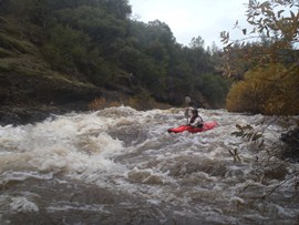
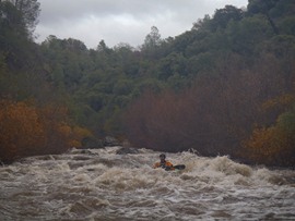
- The river tapers off soon after the big one, one or two more class III- rapids before it turns to flat. At the higher flow, the paddle out went quick. We spent only 2.5 hours on the water total.
Take-out: Take-out: In the town of Cottonwood on Highway 5, take the Gas Point Rd exit. Head East. At the T, turn left on Balls Ferry Road and follow for 3.6 miles, staying right at two forks. Then turn right at Ash Creek Rd. Around this time you start seeing Coleman signs which you can follow... or just continue for another 1.3 miles, turning right on Gover Rd. Then after 1.6 miles, turn left on Coleman Fish Hatchery Rd. Follow 3.1 miles to the fish hatchery... continue past it a few hundred yards up a small hill and park by the low head dam in the BLM parking area.
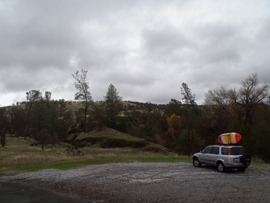
Put-in: Go back to Ash Creek Road, and continue on it, turning right at the fork. Continue for 7.3 miles up along a big stone rock wall. Turn right on Wildcat Rd and continue for 5.1 miles, turning right at the fork on and continuing on Wildcat for another 5.6 miles. Near mile 3.5 you cross the North Fork of Battle Creek, you can put in here for some tighter action and an additional class IV. Or continue to the south Fork and add a few miles of class III by continuing to the fork, and turning right. 100 yards later you come to the South Fork Bridge, park on the far side and put-in on the upriver side of the bridge.
HTML Comment Box is loading comments...

