Bald River
| Stretch: | Bridge near Holly Flats Campground to Bald River Falls |
| Difficulty: | Class IV (V) |
| Distance: | 4.7 miles |
| Flows: | Look for Tellico to be ~4'. USGS's Tellico gauge. |
| Gradient: | 162 fpm average below mile 3.35, 38 fpm above |
| Put-in: | Bridge on Bald River Rd downstream of Holly Flats Campground |
| Take-out: | Above Bald River Falls |
| Shuttle: | 13.7 miles, (40 minutes one-way, half ok dirt) (see description for alternatives) |
| Season: | Fall, Winter, and Spring from rain |
| Written: | © 2019 |
| Featured in A Wet State #150 | |
After starting our day with two laps on Citico, we drove over for a lap on Bald River. Diane was feeling sick from too many night shifts leading into this day, and I was feeling sick due to a back spasm and the pain killers I had taken. So we opted away from the hiking option and instead drove the long shuttle. Thanks to Matt and Jack for undoing the shuttle at the end of the day, it was excellent to get home and lay down for both Diane and I!
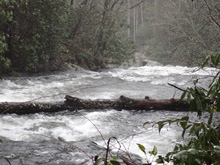
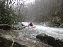
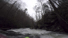
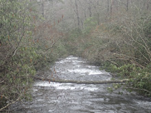
The run starts off with one quick rapid that should be scouted if you don't have someone that knows it. We were able to enter in a small channel on the right and then scout. Below here, the river is class II for several miles, with high stress over grown channels where a log jam could spell disaster.
Finally, the river begins to open up and you start to get some nice rapids. These rapids pick up steam until you are at the top of Shallow Falls. Shallow Falls is an easy enough boof on the left, but 1) it had wood in it and 2) it pushes immediately off the very stout Suislide immediately below. There is only 40 ft of fast moving water and no real eddy between them. Scout thoroughly! If you run the Shallow Falls, find a way to beach your self on the left, and wade down to the lip of Shallow falls and portage down the middle steps, in the side current. We portaged both, using a steep hillside 20 feet downstream of a spur that can be used from the main trail to scout the falls. This put us in at the base of the falls. It looked too steep but in fact was totally ok.
Below the falls is the hardest section of whitewater, as the river wraps around a steep rock ridge, several class IV ledges greet you, this straight away verges on class IV+ if you are having to boat scout your way down due to the small eddies and tough scouting logistics. As the river wraps around, things get easier again but don't relax too much as Doe Falls is downstream which is a hole into a junky ledge, it is worth scouting it on the right before dropping in for sure. Downstream, is a serious of slides that can pack a punch as the flow comes up which then lead directly to Bald River Falls. So, not a place to mess up. Plus, there was a bunch of wood in them our day, I was glad we hiked up from the bottom to take a peak at them and the take out eddy.
Over all, I thought this day was very worthwhile. The paddle in was not so great, I think I would do the Cow Camp Trail if I go back. But the downside of this run is that the rock is not great, it will take plastic off your boat for sure, especially in the slidey sections.
For reference, when we hiked up, it looked like a low side of medium flow, at the bridge at the top, I thought we had ELF flow. I think it turned out we had a medium flow. The Tellico was 4.5' and dropping our day.
Mi 0.15:
- Gran Torino (IV). The first rapid comes quick. We entered down a small right channel to eddy out and scout. The main left channel went at the top, but stopping wouldn't have been possible before the rapid. The main rapid did a quick s-turn which then dropped over a ledge. You wanted to be left of center, to the left of a ledge that landed on rock. Being online would find soft water leading down to a small exit ledge that isn't a problem if you are straight.
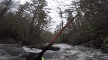
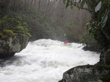
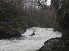
Boogie (I to II-). The boogie is straight forward, the Rhodo is encroaching, and the wood is an ever present hazard. Stay on your toes.
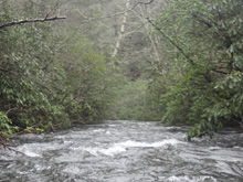
- Picks Up (III- to III). Rapids pick up, tending to be long sliding rapids.
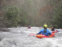
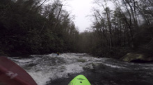
Right to Left Slide (III). This nice slide was best run with a right to left cut to miss the meat of the hole on the right wall at the bottom.
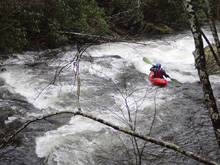
Multi Step (III+). A blind entrance led to this nice rapid which slid down through multiple tiers. We started center and worked left, boofing the rock/hole at the bottom.
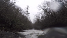
- Shallow Falls (V). Get out on the right at the nice beach to scout this and the next drop which you will need to portage (most likely anyways). The normal line is down the left which will send you off a boof. Careful, the landing is shallow. For us however, there was wood at the entrance and in the landing. Kirk ran the drop right cutting left into the center which also worked.
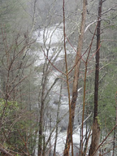
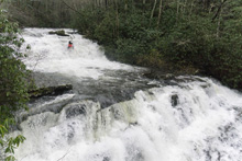
Suislide (V+). Most commonly portaged. If you run the falls immediately upstream, you will need to get out in moving water on the left, and then portage down the left of center part of the rapid... in the current. You can run the bottom half from there if you want, down a grove and into the main current where you would boof the bottom ledge against the wall. Or, if you portage both falls you can drop down the hill side steeply 20 feet downstream of the well traveled spur that we used to scout. With a tether, you didn't even need to rope boats.
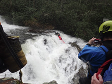
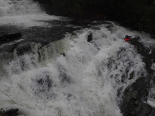
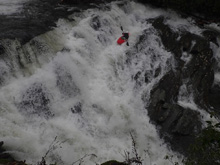
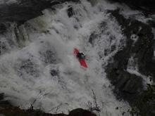
First Gorge Rapid (IV). Immediately below the falls is a super fun rapid. There was a small one boat eddy on the right at the lip that you can see most of the rapid from. We entered right to left with a small channel, then turned right and boofed the ledge below in the middle. It had a nice auto kick to it. Just downstream is a low angle hole feature to line up straight for.
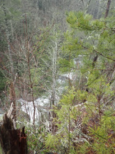
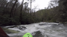
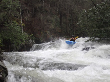
Exit Boof (III). Just downstream is a small ledge that can be boofed on either side of the midstream rock that forms the ledge.
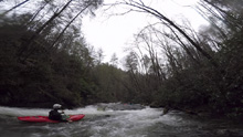
- Gorge Eases Up (III-). As the river bends right, the rapids ease up and turn back to boogie class II+ and III- for a short ways.
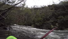
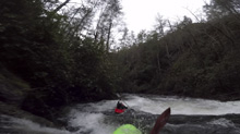
- Doe Falls (IV to IV+). I don't know, maybe it doesn't get the IV+ rating... but, I just feel it was bigger than class IV. This rapid sneaks up on you and is worth scouting on the right. Enter down the main channel and line up a boof over the entrance hole, then drive to the right of center for the main ledge which has a step down here. Further left is less smooth. Regardless, the rock here is not great and you will hurt your boat.
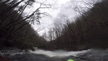
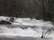
Slides and Ledges (IV). Several nice slides and ledges above the take-out. We ran the first ledge on the left. We then ran the next slide on the right boofing over the hole at the bottom. Those that tried to slide around the hole, just ended up flipping it in. Just embrace the full hole and hit the pad to boof the meat of it. One last little rapid occurred down the right wall which led to the eddy above Bald River Falls, and our take-out.
Take-out: From the town of Tellico Plains, take TN-165 4.5 miles east up river. When the river tries to bend away from the river, turn right on River Rd to continue traveling upriver on the smaller two lane road. Follow this 6.2 miles and park just past the bridge that crosses the river. It is impossible to miss as the Falls will be misting the road. The trail to the top of the falls is just 100 ft further up the road. It is worth going up to check flow and to check the eddy situation above the falls, as you don't want to accidentally miss that last eddy!
Put-in: Continue up the Tellico for 7.6 miles, after Green Cove (small town) and before the hatchery, turn right onto Green Cove Rd. In a mile, this turns into Bald River Rd and turns to dirt. Continue up it for 5.1 more miles, past Holly Flats Campground to the bridge where Bald River passes under and begins to head away from the road.
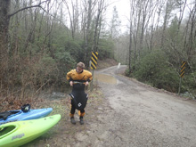
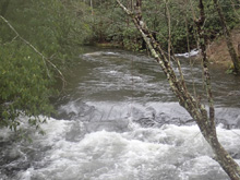
Hike Option #1: Cow Camp Trail takes off from the normal Upper Tellico put-in, just on the downstream river left side of the bridge. This takes you up and over the ridge to the river, at the top of all the goods. This is 0.75 miles and just a half mile or so on the road that can easily be walked/jogged back to your car at the end of the day.
Hike Option #2: Hike up from the bottom. Total elevation gain is easier than using Cow Camp Trail, but to get all the goods you will have to walk 1.5 miles. This trail goes up the river the entire way on river right.
HTML Comment Box is loading comments...
