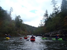
Big South Fork of the Cumberland River (Clear Fork to O and W)
| Stretch: | Clear Fork to O and W Bridge |
| Difficulty: | Class II to IV |
| Distance: | 8.4 miles |
| Flows: | 500 to XX,000 cfs (heard of a 25,000 cfs run...) (Use confluence put-in below 1,000 and top of final canyon below 500 cfs). Check out American Whitewater's current flow gauge. |
| Gradient: | 22.6 fpm to the confluence, then 27.3 fpm |
| Put-in: | Honey Creek Loop Rd bridge |
| Take-out: | O and W Road bridge |
| Shuttle: | 22.3 miles (44 minutes one way, gravel) |
| Season: | Year round (needs rain) |
| Written: | © 2014 |
So I will be completely honest, I hadn't heard of this run prior to moving to Knoxville. But I quickly began hearing about folks heading there after rain events, and being able to run sections of it at very low flow. That coupled with scenery that was reported to be among the best in the South East, put this run on my list to do.
Depending on the flow there are several options available. If the flow is up at a normal level (~2,000 cfs) you can also put in even higher above the Clear Fork and paddle it as an overnighter. At the very lowest of flows, you can run just the final canyon... which would make a good excuse to get in the boat and enjoy some nice scenery. At medium flows you can put in at the confluence and paddle down to the take-out.
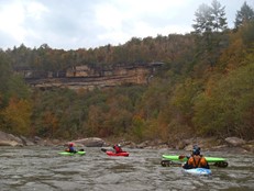
We put in on the Clear Fork to extend our day as we had a little over 2,000 cfs. The rapids are mellow in this section, but it was nice to chat with the group as it was out first time paddling with all of them except Steve Sanborn. Near the end one decent hole needs to be run properly and then you quickly get to the confluence. Things pick up form there. Fun rapids culminate in Double Drop and The Ell, both of which should be scouted if it is your first time. Below things ease up shortly before then getting more continuous, although also a little easier. The run then ends in a great little canyon with nice bluffs rising high about you full oranges, greens and greys. This canyon really is the main reason to do this run, the scenery really is something special.
Mi 0: Mi 3.2:
- Hole (III-). Near the end of the Clear Creek section comes one standout rapid. The river constricts into a narrow chute that has a sticky hole. You want to be left of center or left. On the right is a significant pocket.
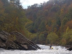
- Confluence with the New River, becomes Big South Fork. The water quality drops due to the mining on the New. There is also apparently a nice class III section above the confluence on that side. At the confluence, the river becomes the Big South Fork.
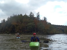
Some fun boogie comes at you pretty quick.
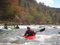
- Double Drop (III to IV). I can imagine at higher flows this one becomes meaty. The first drop is best run either down the middle or boof the left side (both of the right channel). The bottom is just a turbulent exit flow. The hazard here is if you somewhere end up far far right just below the entry hole there is a sieve in play. Scout right.
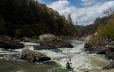
The Ell (III to IV). A tricky drop but with no real hazards and a big recovery pool. The trick is at the bottom, there is a pinch and a big hole on the right and a curler deflecting off the shore and feeding it. You can eddy hope down the left (boiley eddies, or just straight shot it down left of center in the main flow driving to the curler. I think that is actually more straight forward than catching these eddies. Scout left.
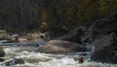
- Mini Canyon (III) Some really fun wave trains and a few tight rapids fill this straight away. Most will work down the top section left of center, there are some surf waves in here, though they are flow dependent. Also not, right of center after the first wave train there is sometime a stopper hole. The exit of the rapid is tight with an undercut in play on the right. you can exit it any number of ways, but the water is squirrely so be on your toes. This then empties into a pool which exits into a spot with some very large boulders which create narrow slots, it is just class I- in there, but super cool non-the-less.
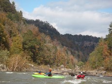
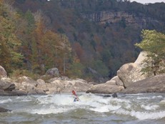
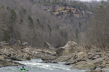
Back Ender (III-). After a bit of flat water you make a bend and the river gets a little tougher and more fun again. This rapid was boat scoutable. We ran down the left moving center. I didn't move back center and hit what I thought was going to be a small seem and straight away back-endered. Whoops. The top right is a decent hole so make sure to at least start left.
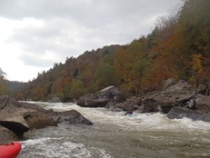
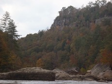
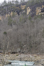
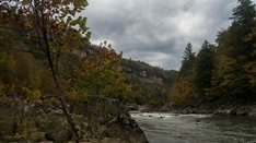
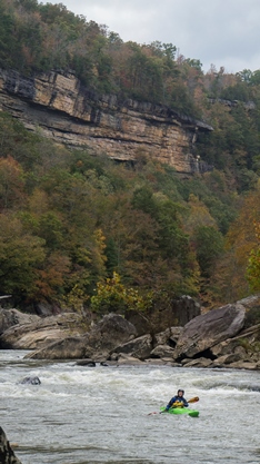
- Final Canyon (III-). No real big rapids stood out, but wave trains and surf waves were abound. The real highlight of this canyon (and the whole run for that matter) is the scenery in this section. The bluffs shine bright orange, grey, and green, and tower above you. A really pleasant sight... and certainly reason enough to visit.
For more details on the run, see the AW write-up...
Take-out: From Oneida TN, take TN-297 West from Highway 27. Follow it for 3.6 miles before turning left on Toomey Rd. Follow for another2.3 miles turning right on O and W Rd. Follow this mostly gravel road down 4.3 miles to the bridge over the river.
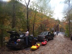
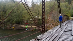
Put-in: Follow O and W Rd back out 9.0 miles to Verdun Road, turn right and quickly hit Highway 27, head South. Follow Highway 27 for 13.0 miles and once you cross the New River, take the first right on Old Highway 27 (there is a River Access sign here). Follow it for 1.4 miles and make a quick jog right on Mountain View Rd which then immediately jogs back left. Continue for 2.3 miles and turn right (also a River Access sign here) at the 4 way intersection onto W Robbins Rd. In half a mile, turn left on Honey Creek Loop Rd and follow this quickly down to the water. Parking is on the far side.

HTML Comment Box is loading comments...

