Animas River (Upper)
| Stretch: | Silverton to Tacoma Station |
| Difficulty: | Class IV to V |
| Distance: | 24.9 miles |
| Flows: | 500 to 8,000 cfs (note that while it has been run that high by locals, it is a different beast and for sure class V... I would assume it is class V at 3,000+). USGS Animas River in Silverton (put-in) gauge and USGS Animas River at Tall Timber (take-out) gauge |
| Gradient: | 89 fpm average from Ten Mile to the end, 79 fpm average including the paddle in. |
| Put-in: | Mineral Creek USGS Gauge site location in Silverton |
| Take-out: | Tacoma Power Station, start of Rockwood Box |
| Shuttle: | 32.1 miles, (45 minutes one-way with a major mountain pass) |
| Season: | Spring off snowmelt |
| Written: | © 2021 |
| Featured in Video A Wet State #159 | |
-
Colorado Road Trip 2021: Day 5
Our friend Dave Farkas had reached out and mentioned he planned to do an overnighter on the Upper Animas. While we were unable to overnight due to lack of drybags and not wanting to stick my parents with an overnight babysitting duty of Aster in their trailer, he mentioned they were likely only camping 1 hr downstream of put in and that we could meet them at camp if we got an early start. So, we the plan was set.
The night before we camped at Molas Lake, near Molas Pass, between Durango and Silverton. We did this because the road from Silverton to Durango was going to be closed from 8 am to 1 pm for a bike race, so we knew we needed to be as close to Silverton as possible. As it was Memorial Day weekend, camping options were limited but thankfully Molas Lake Campground was open and had space, as they normally still have too much snow to open so they hadn't taken reservations but still opened early. Woohoo!
We got to put-in at 8 am and put on at about 8:30. After a brief paddle on Mineral Creek we hit the Animas and floated through the valley towards the gorge. Once in the gorge you get several class III rapids and maybe one class IV before the river again opens up and mellows out. But now, you have spectacular scenery surrounding you. After about ten miles, the river really begins and you will find yourself running approximately 20 miles of non-stop rapids to take-out. The river is mostly class III moves, just non-stop. Though there are a few standout exceptions. Ten Mile starts with a class IV+ (ish) crux section before continuing as class IV- to IV for give or take, 2 miles. No Name sneaks up on you and is the only class V rapid on the run at normal flows. Below No Name is another 2 miles of class IV whitewater that is just super fun read and run. Broken Bridge is the last standout rapid of the run and is class IV to follow someone through but probably class IV+ in its own right. Throughout though, you have some spectacular scenery of the canyon around you, walls rising high, walls dropping sharply, and wooded forest encasing it all. The only downside is the train which runs along the river for its length and brings tourists up and down the canyon to see the sites for a fee. Worse, some tourists get off and do rope swings and ziplines across the river. It all just takes away from the solitude and commitment of the run, though I am sure for some kayakers the train is a welcome relief of the stress of being in a deep secluded gorge.
Now, one of the hurdles of the run is how to take-out. If the water is not too high this is made simpler. Run Rockwood Box. We had ~1,500 cfs at the bottom and this was a great flow for the box. It is commonly run down to 350 cfs (you aren't running the Upper this low) and up to 3,500 cfs or even higher. If you don't know the Box though, I would think the 2,000 range is likely about as high as you would want without a guide as the rapids would be tough or impossible to scout. So, if you don't run the box, what are your options. There is a trail which I do not know the details of. It comes in near the Tacoma Power Station and is steep apparently, so not a favored option. Instead, people with hitch a ride with the train from the power station, buying a ticket in advance for full price. Or, wait until after the last train has gone through at 5:30 pm and illegally walk the tracks. So, no great options. So with that all laid out, I was super glad we could just paddle Rockwood Box out and do a short hike on a nice trail up to the Rockwood Depot.
We had 775 cfs in Silverton and 1,500 cfs in Rockwood and I thought this was a great flow. Felt like the river was full, but it didn't feel overly flush drowny like I would assume it does at high flows (with that said, don't swim, they are long affairs and are dangerous). The whole run, with Rockwood took us 5.5 hours and that included pictures, one in our group scouting and portaging 10 miles, a lunch break, and scouting Mandatory Thrashing in Rockwood Box.
OK, one final note. The river really is non-stop splashing and rapids. Dress warmly, use poggies, you will get cold. The water is fresh snowmelt, and the canyon walls limit sunlight into the river, and therefore the water is very cold. At take-out we had low 80s temperatures but we were wearing all the layers we brought on the trip, under our drysuits, and still were a little chilled.
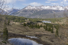
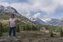
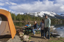
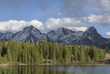
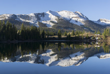
Note: There are too many miles and too many non-descript sections to call out each rapid individually. So, this is a general write-up with the few standout sections called out by name. Once you get to 10 Mile, the action is legit non-stop though it ebs and flows harder and easier, but there are no pools and rarely backs up to class II, typically is III with several long sections of IV. The top miles are more like III at peak and II in between.
Mi 0.0:
- Mineral Creek Access: Directly below the US-550 bridge on a dirt access road you can put in. This is at the Mineral Creek USGS gauge. Or you can head further down the road, if the water is up this would be a good idea since there is a very low bridge immediately downstream.
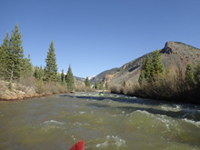
- Low Bridge (I). At low and medium low flows it is not a problem to duck.
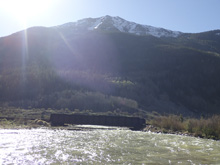
Animas Confluence: The Animas comes in on the left and you float a fluvial field in an open valley as you can look downriver into the canyon that awaits you downstream.
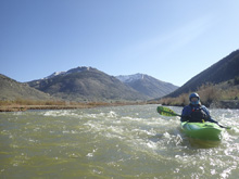
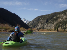
- Alternate Put-in: An alternate access point is where the road leaves the river. This is best for rafts as the bridge is too low for them.
- Bridge/Dam (II). Another low (but not as low) bridge with a junky rock wall dam lays in wait. The right channels were cleanest.
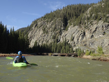
- First Gorge (III- to III). You enter the first gorge which is just a tightening of the walls and some mellow rapids that are much easier than anything downstream. If this proves to be scary for you, abort mission!
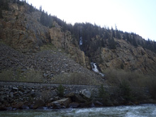
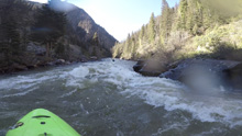
- Snowshoe Rapid (III+ to IV). The first standout rapid comes on a right bend with a concrete left wall. There is railroad blast making the middle a little junky, and a rather stout hole on the right. Luckily, it is straight forward enough to run down the left. The next mile has a few fun class III+ rapids to keep you entertained.
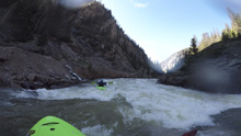
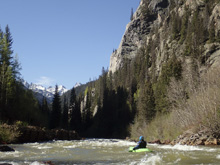
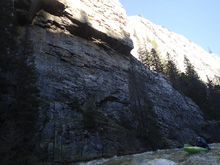
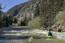
- Foot Bridge: The first footbridge you will come across. There is a camping spot 200 yards downstream on the left that my friends used that looked very nice and the scenery was spectacular.
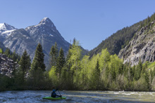
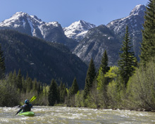
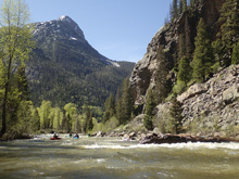
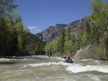
- Earnest (III to IV). This rapid has another name that I cannot recall right now. Something Slide. Garfield Slide? Maybe. Anyways, it was super straight forward I though, we just read and ran it generally down the center. But, one in our group did swim on it. So, I guess there is something to it that I just didn't notice. But don't let that swim get you nervous, it really was a mellow rapid. It must have been a fluke.
- Ten Mile (IV to V). The train track comes along the river just before a right bend at the end of an open valley, many choose to scout from here. This first rapid is flow dependent, at our flow it was IV verging on IV+ due to the length of the rapid and number of things that could mess you up. I could imagine at low flow it gets easier and I can also imagine at high flow it is a serious endeavor. A very experience raft guide and a client has passed away in this rapid due to the serious nature of it. The danger is just that the two top cruxes are 200 yards long, and then runs out into a mile of class III/IV non stop action. Some of the most continuous sustained difficult whitewater of the trip. We ran the entrance on the far left, punching a few holes before moving far right for the second tier of the crux to again punch a few holes. We did not scout, so I can't speak to all the lines or hazards, but can say it was busy and fluffy if you got off line.
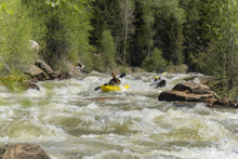
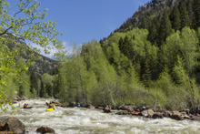
Ten Mile Runout (IV- to IV). A mile of great non stop action that is among the hardest boogie of the run. But it is all read and run!
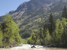
Boogie
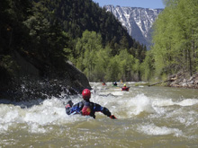
- No Name (V). The hardest rapid on the run comes at you and could easily sneak up on you if you don't know where it is. Even if you do, my friends have said they accidentally have bumbled into it. Get out on the right before the gradually bending left turn that hides the gradient. There is a landslide on the right and the river right bank is a mess that was bulldozed clean. This is the best indicator I can offer. The rapid starts off with some lateral features that want to push you right. You want to fight them to stay left, or even sneak them to be far left. This then leads you past the right features which are probably the dangerous ones, and onto the ramp on the left that you want to run center which moves you back to the right to punch the small hole at the bottom. Below, the river quickly ramps out and heads to a large midriver hole, you want to be right or far far left.
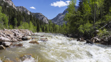
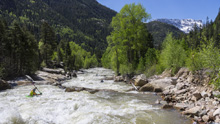
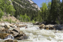
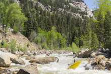
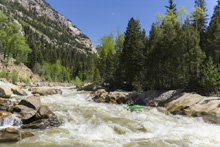
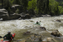
No Name Runout (III to IV). The next mile or two is sustained action that is a smidge easier than the stuff below Ten Mile.
- Footbridge: There are a lot of footbridges in here, but there is one at mile 13.5 for your mileage reference. The section between No Name and Broken Bridge took longer than I expected to.
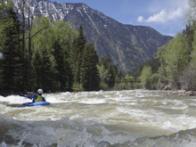
- Broken Bridge (IV to IV+). The easiest of the big three is this rapid. You will see an old dilapidated bridge crumbling into the river. The rapid starts below it. We entered on the right but quickly worked to the left shore. The river splits around a series of large midstream boulders, the left shore offers general stair stepping action to handle the gradient while the right boasts a few large holes. On the left bend, the flow all recombines and you will want to drive far right to avoid a large center/left hole.
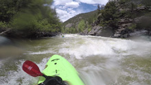
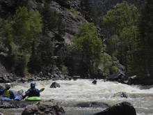
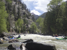
- Cascade Creek: Enters on the right at a foot bridge, which also has a nice beach for a lunch break. But, there are a lot of beaches and spots to take a break. This is just where we stopped.
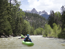
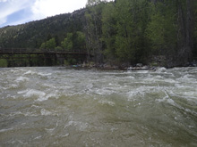
- Final Gorge (III to IV-). The last few miles are welcomed with more pool and drop (though, Colorado's variety, which to me just means it is more distinct rapids between calmer waters that are still hurriedly moving downstream). They were all straight forward and give you some insight into the pushiness that awaits downstream in Roxwood Box if you are continuing into that... which is a step or two harder than this stuff, but the pushiness is different than what you have seen to this point of the river.
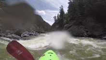
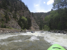
- Tacoma Power Plant: If you are not paddling the Rockwood Box downstream and planning to take the train, get out here and wait at the depot for the ride.
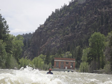
- Bridge Access: If you plan to not paddle the Box, but are late enough in the day (after 5:30) that you plan to illegally walk the railroad tracks, paddle down to this bridge for a shorter walk. There are no rapids between Tacoma and here.
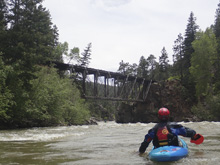
Take-out: From Durango, head up US-550N for 16.2 miles. Look for the signs for Rockwood Depot to the right, turn right towards them onto county rd 200. Follow this for 1.0 miles to the depot. We parked to the right, as out of the way as possible. Some times you have to park higher up out of the depot if they are busy as it is their property and kayakers have understandably rubbed them wrong with walking on the tracks etc. To get from the river to the Depot you either neither to catch the train at the Tacoma Power Station (buy a full price ticket in advance), or illegally hike the railroad tracks. If you do the latter, due it after 5:30 pm when the last train has gone by. Or... paddle the Rockwood Box, the preferred option unless the Box is too high.
Put-in: Go back out to US550 and continue North. Take this 31.0 miles into Silverton. Just before you enter town, and just before you cross over Mineral Creek, turn right onto a dirt road, county road 31. Go 0.1 miles to a wide spot in the road at the USGS gauge and you can put in here. Or, you can continue 0.5 miles further on the dirt road if the water is up or you are in a raft to put in below the confluence and the low bridge.
HTML Comment Box is loading comments...
