American River (Confluence / G-Wave)
| Stretch: | Confluence to Folsom Lake |
| Difficulty: | Class II (Class III/IV) |
| Distance: | 3.3 to 9.5 miles |
| Flows: | 1,000+ cfs (25,000 cfs for G-Wave) adding both North Fork and Middle Fork of the American gauges. Thanks to Dreamflows for the gauge info. |
| Gradient: | 10.4 fpm |
| Put-in: | Highway 49 Bridge, Confluence of the North Fork and Middle Fork |
| Take-out: | Either China Bar Recreation Area or Rattlesnake Bar |
| Shuttle: | 5.7 (plus 2.1 hiking) or 9.9 miles |
| Season: | All year damn release (Winter and Spring from Rain for G-Wave) |
| Written: | © 2012 |
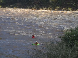
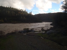
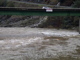
How could 10 fpm be so fun? I have no idea. The crazy thing... is that with 42,000 cfs raging down the river, there were countless waves that were over 10 feet tall...
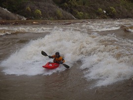
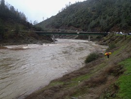
So, this river is class II at normal flows. Probably a great beginner, or inner tube run during the heat of the summer and low flows provided by the dam release on the Middle Fork. However, a few times every few years, the river rages and California gets its only (that I am aware of) big wave feature to surf on. 25,000 cfs is the idea flow, with lower flows creating a sticky hole and higher flows creating a glassy wave that is flushy.
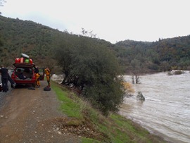
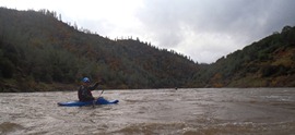
I have only been there once, during this past weekend's big rain (Dec 2012). We put on in the afternoon and missed the optimum flow as the river shot up into the 40,000 range in less than an hour from the 20,000 that we read online while at take-out. Even at these flows, the eddy service remains excellent thanks to a brush island that creates a break from the current, allowing you to attain back up from a few hundred yards downriver.
At lower flows, the old site of the Auburn Dam has been turned into a playpark for kayakers with several features. There is a road that drops steeply down to the park making it a potential park and huck... if you are willing to hike out of the canyon. At the high flows, huge waves form ending in a massive hole, requiring all but the most bold to skirt safely around. I have never been the play park at regular flows, but I have heard it can be fun.
For taking out, there are 4 options. Either take out at the dam site, and hike straight up the paved road to the parking; go 200 yards further and take out on the less steep road for a 2.0 mile hike less steep (but still plenty of elevation gain); continue another 1.5 miles and take out for another 2.1 mile hike that ends at the same parking (state park fee area) as the previous take-out option; or continue down and across the lake (when the lake is full) for 3.5 miles of flat water to Rattlesnake Bar (state park, fee area). We hiked from the third option... the hike wasn't that bad. Gradually uphill... with playboats it wasn't bad... though some of our group thought it was less enjoyable. So, do you prefer to hike or paddle flat water? Interestingly, a group that was 5 minutes ahead of us got to put-in at the same time as us... meaning the two options must be just about the same duration of time.
OK, the last thing... even at the high flows the river is only class III-. But be aware, big water like thiscan be challenging, surging eddies, unpredictable currents, and debris (huge trees) make for a class IV day... a swim here is not a great option at high flows.
Mi 2.25:
- "Gay Wave" (III to IV). Eddy service on the right. We had folks spotting debris and whistling to folks about incoming hazards on the right shore.
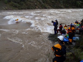
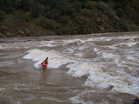
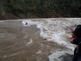
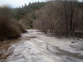
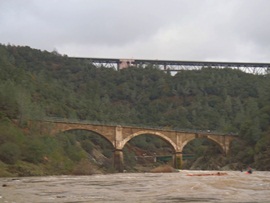
- Auburn Dam (III to IV). It is obvious when you are coming to the spot where the foundation of a dam was created only to be abandoned due to lack of voter support. At high flows, avoid it down the far left. The first several waves are good to go, but then feed you into a huge hole at the bottom. Also, DO NOT go right, that is a bad area...
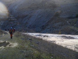
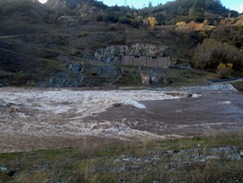
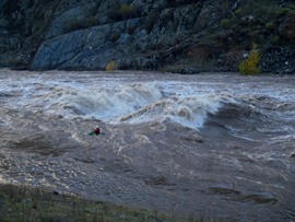
Fun rapids continue down to the lake
- Take out option #2
- High Water Mark
Take-out: Either find your way to Rattlesnake Bar stake park area on the north side of lake Folsom or go to the China Bar State Park Area. To get to China Bar (the only one I have used) from highway 80 coming from Sacramento, take the Newcastle Rd exit and turn right onto Indian Hill Road. Follow for 2.4 miles, briefly turn left on Auburn Folsom Rd for 0.4 miles before turning right on Maidu Dr. Continue for 1.0 miles and park at the parking area. The hike out is 2.1 miles long and not over steep... but you do gain some 800 feet of elevation. After a few hundred yards, take the third "Cardiac Bypass" trail to take a short cut that isn't too hard. Continue up the road from there.
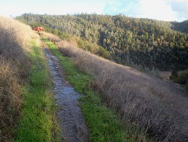
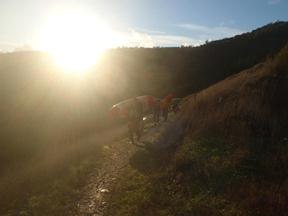
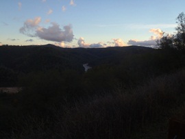
Put-in: Go back out to Auburn Folsom Rd. Continue on it for 1.2 miles before turning right on High Street. This turns into Lincoln street before turning into Highway 193/49 and begins to drop down into the cany9on. 2.6 miles later you are at put-in.
HTML Comment Box is loading comments...

