
Abrams Creek (Lower)
| Stretch: | Abrams Creek Campground to Highway 129 |
| Difficulty: | Class II to II+ (Maybe a section of III at higher flows) |
| Distance: | 7.2 miles to the high-water line for the lake. +1.6 miles of lake paddle if it is high. |
| Flows: | No gauge, look for USGS Little at Townsend to be +3.0' and +2" of rain in drainage over the past 12-24 hours. |
| Gradient: | 31 fpm. |
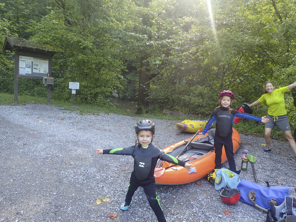
| Put-in: | Hikers Parking at Abrams Creek Campground |
| Take-out: | Highway 129 Bridge |
| Shuttle: | 7.0 miles (15 minutes one way) |
| Season: | Fall to Spring, off rain and rarely in summer |
| Written: | © 2025 |
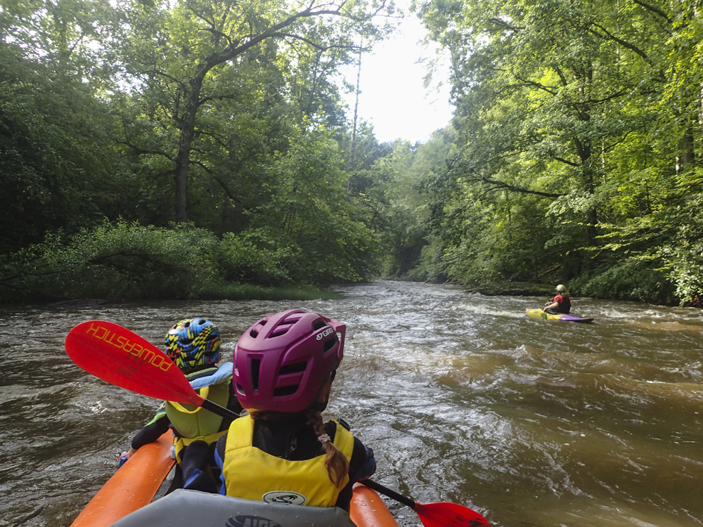
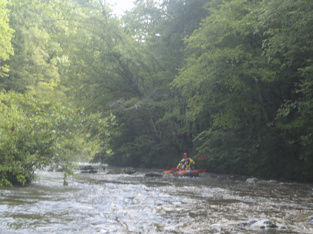
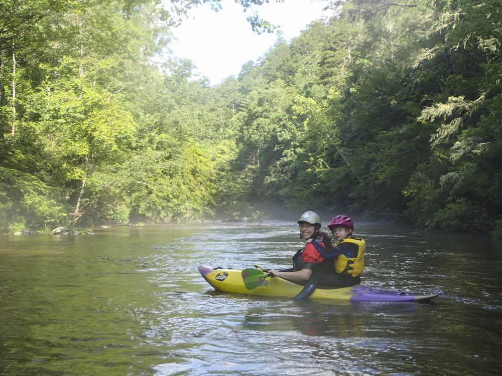
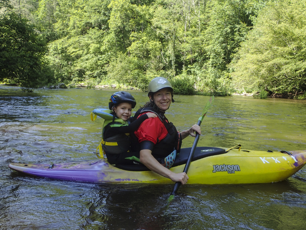
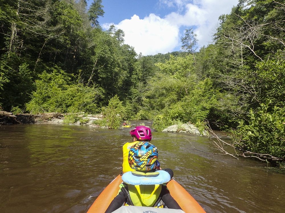
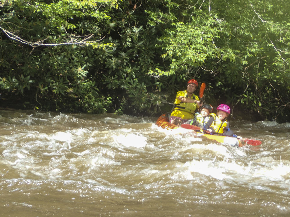
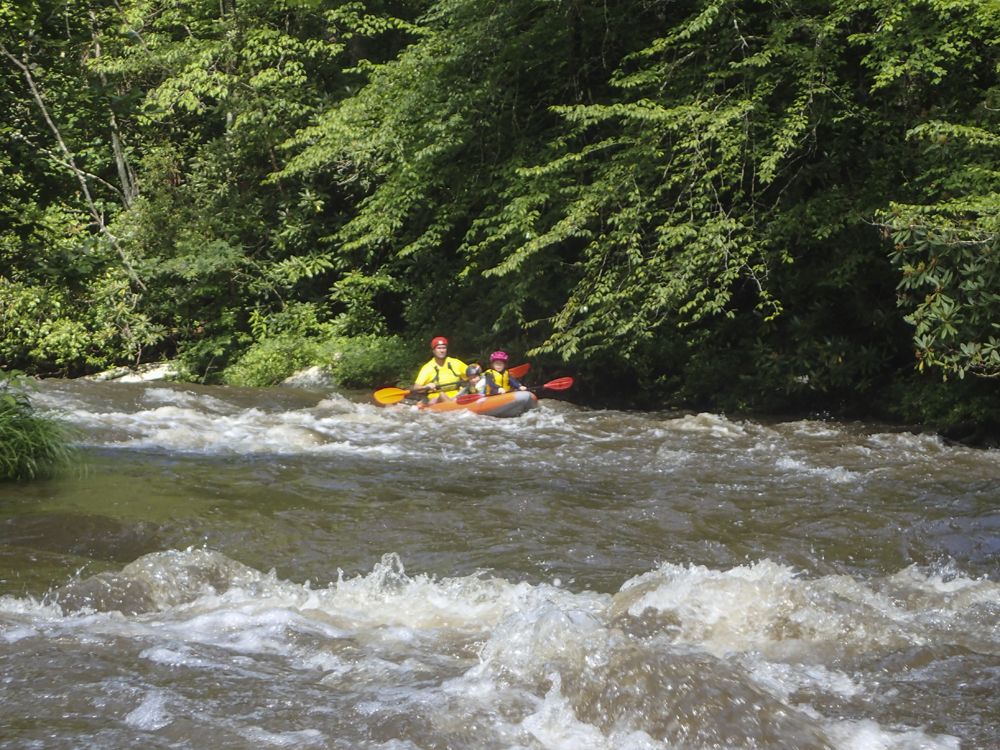
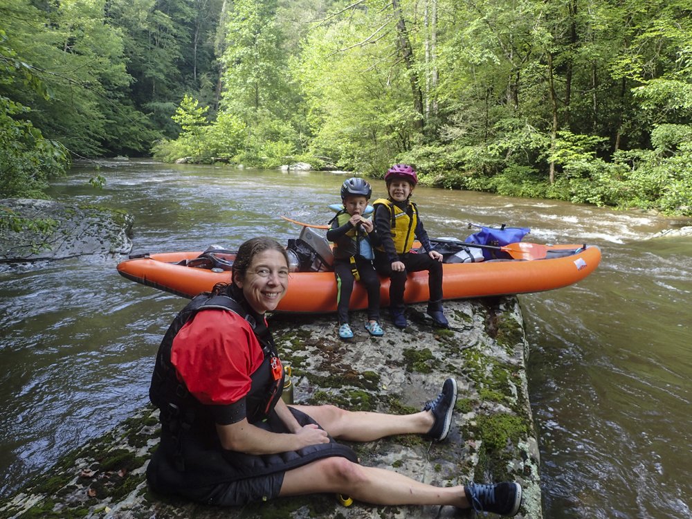
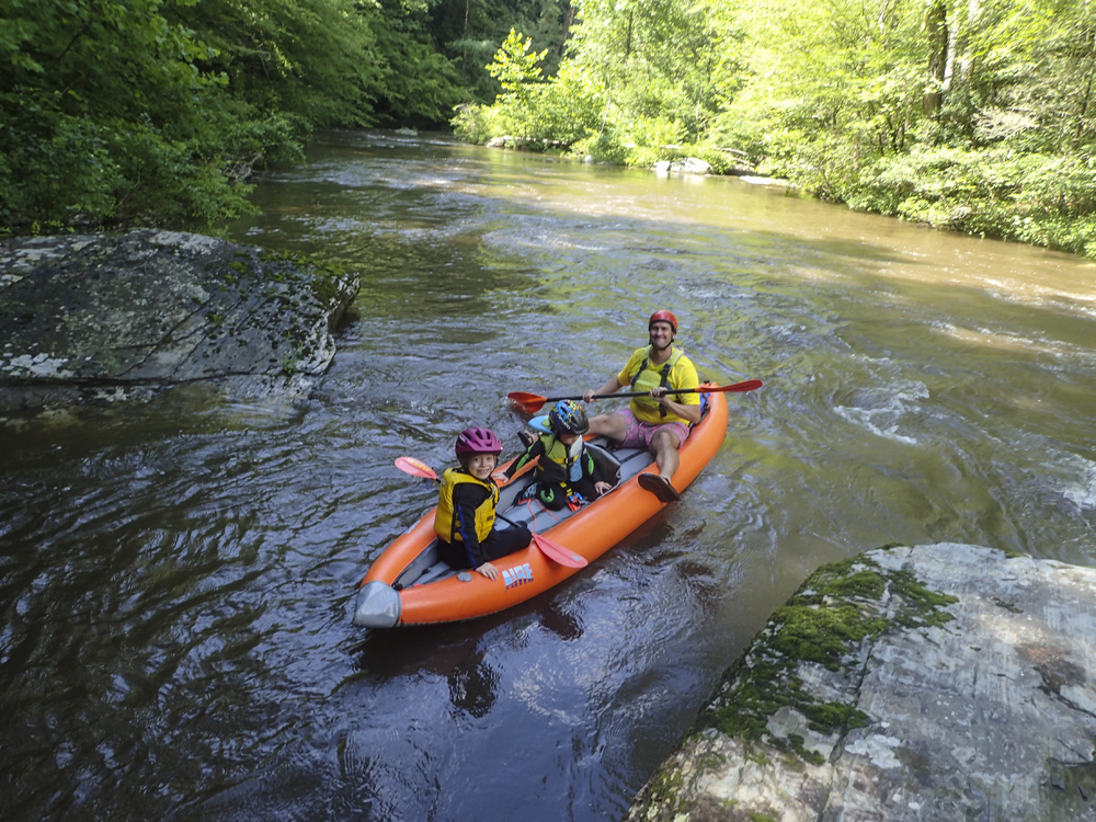
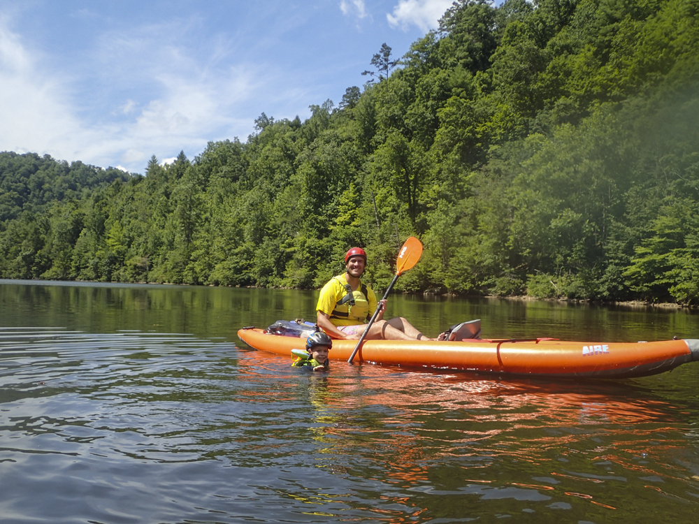
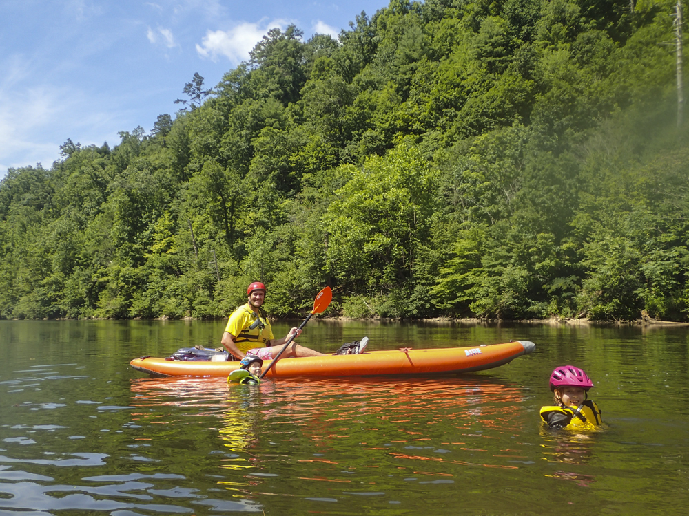
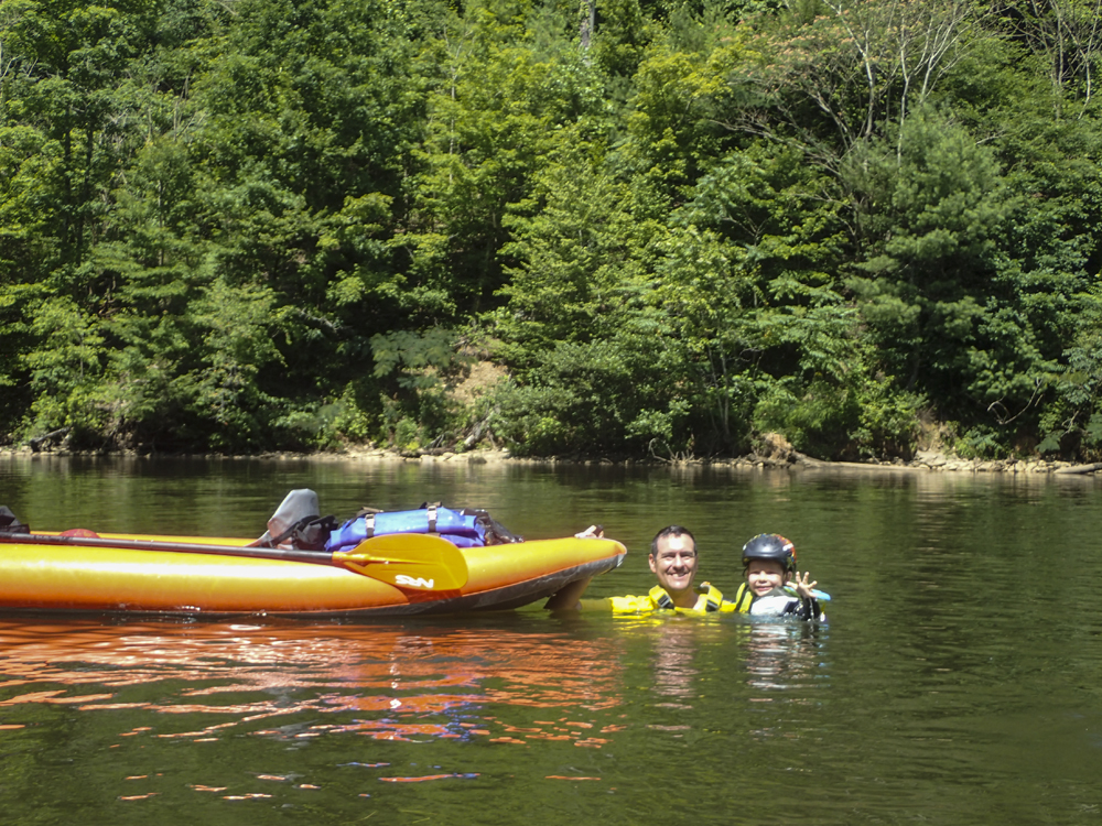
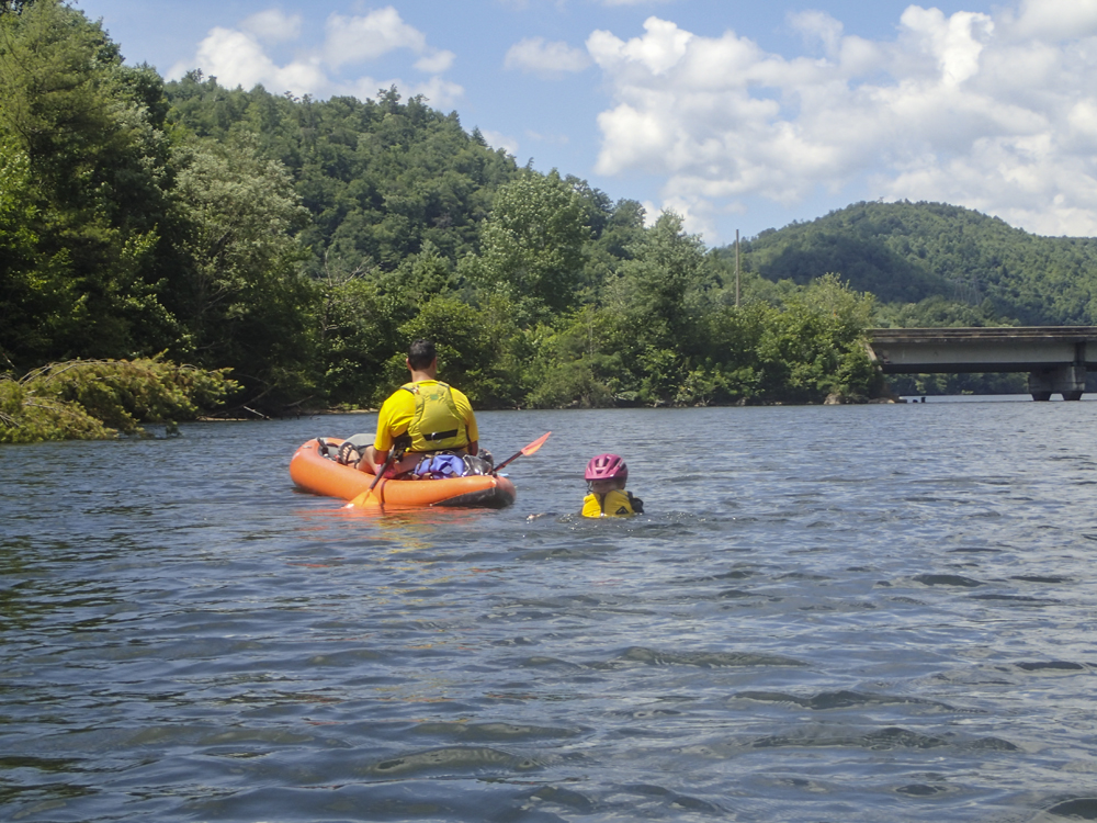
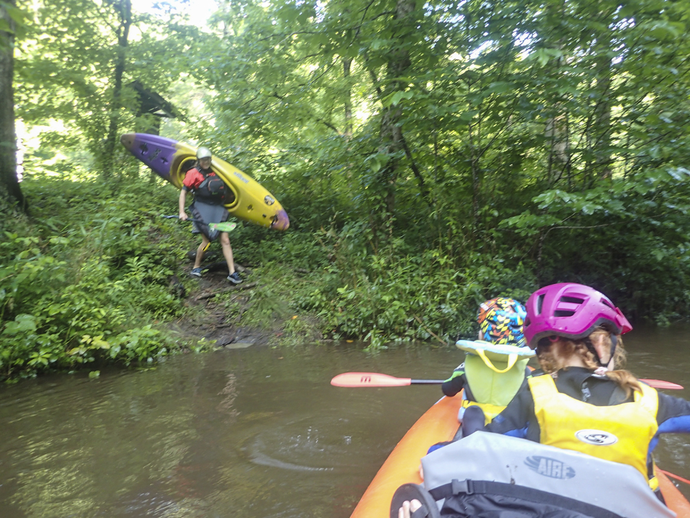
We had planned to do the Hiwassee with the kids but some overnight rain came and brought this much closer to home option in so we planned B to it instead. And boy am I glad we did! It was a classic section of class II with many more rapids that the Hiwassee and a more intimate scenery.
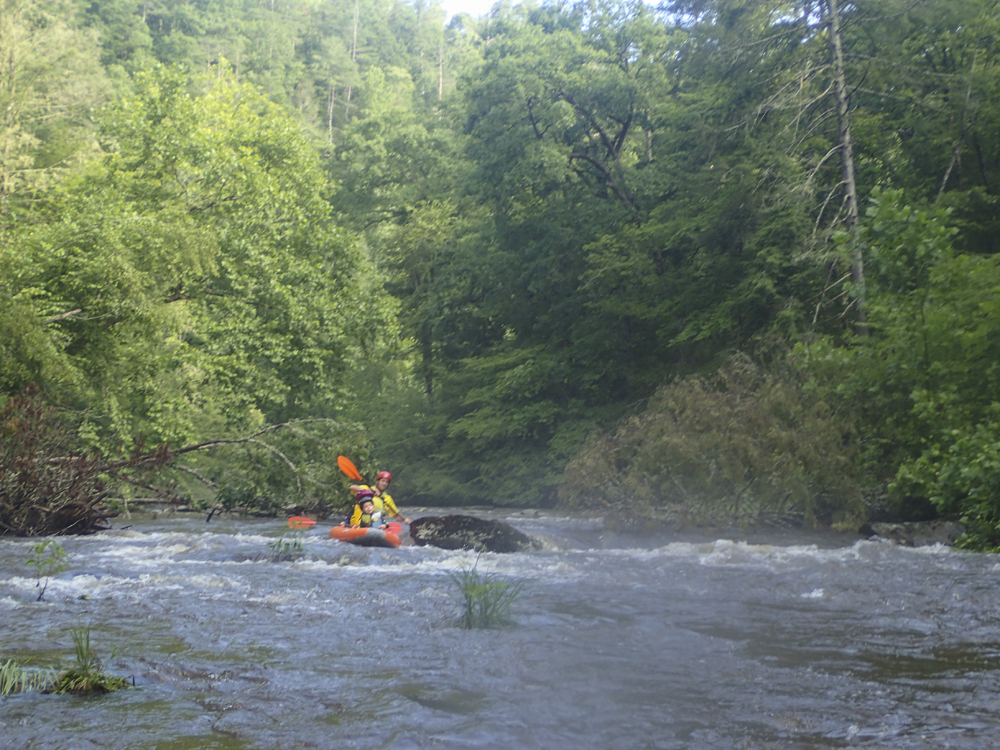
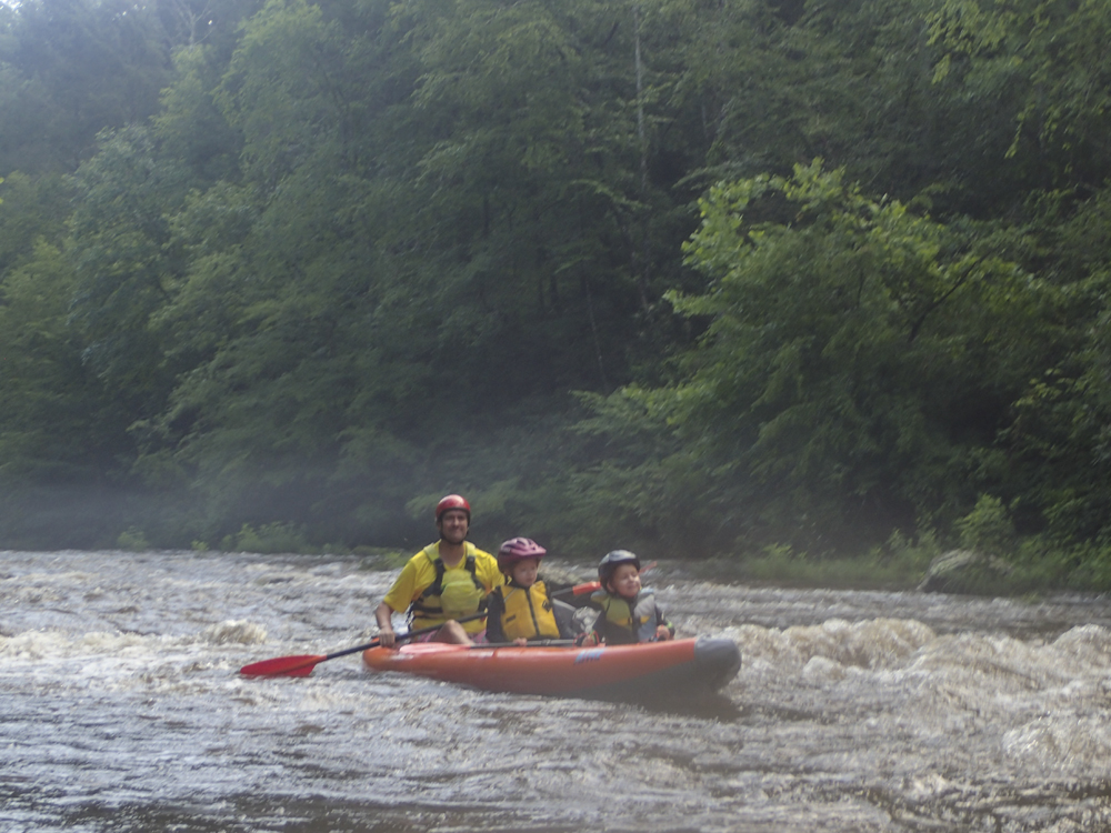
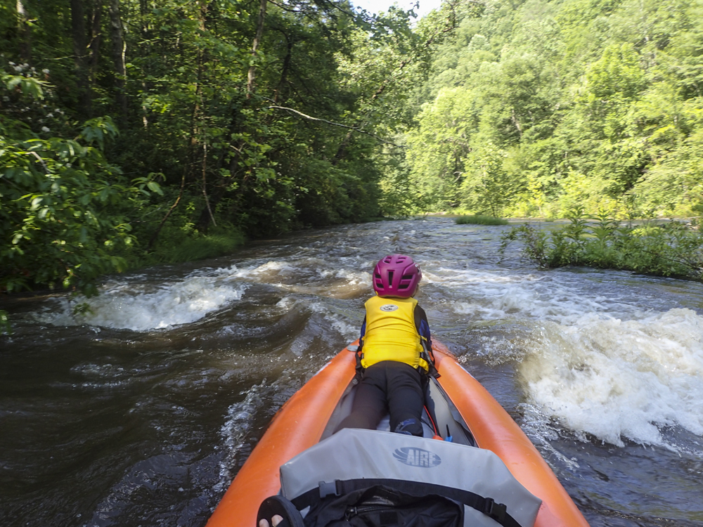
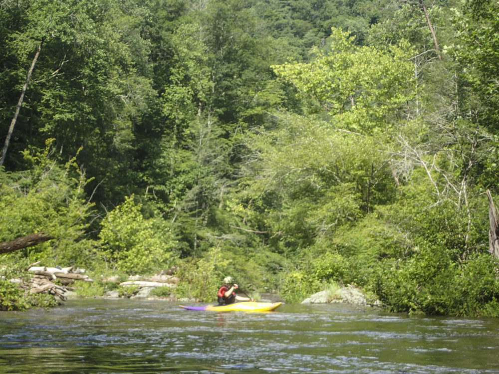
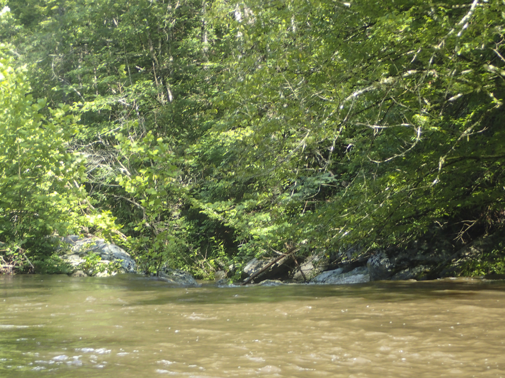
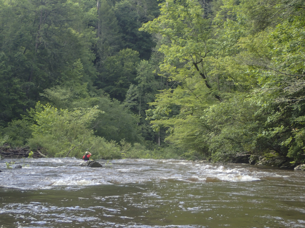
There are countless class I and II rapids, but in my mind, the thing that gives this overall section a class II feel is that it is continuous and the shores are wooded. It is not pool and drop, and there are not huge eddies to swim to if you are out of the boat. That all makes it less than an ideal beginner run and more of an established paddler's easy run. But it is also the best class II run we have done so far with the kids. Just really high-quality fun that we will for sure prioritize for future runs.
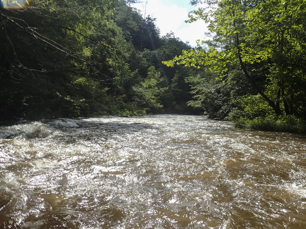
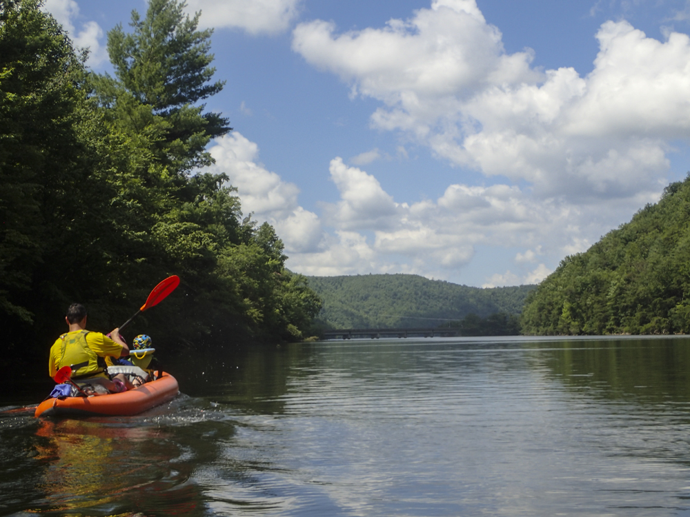
Mi 0-5:
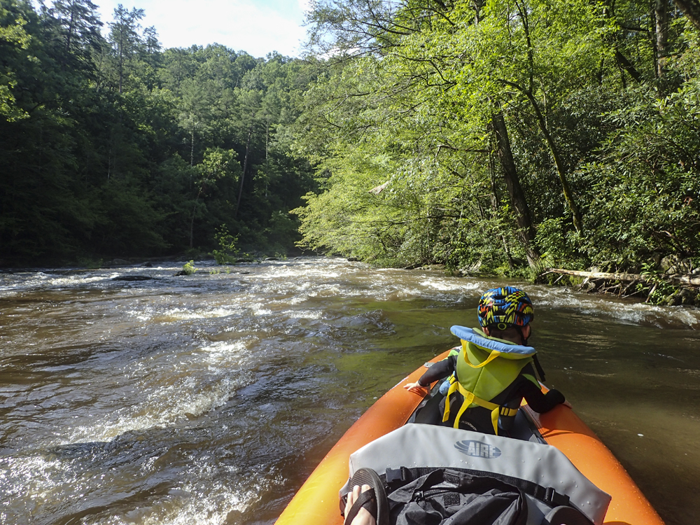
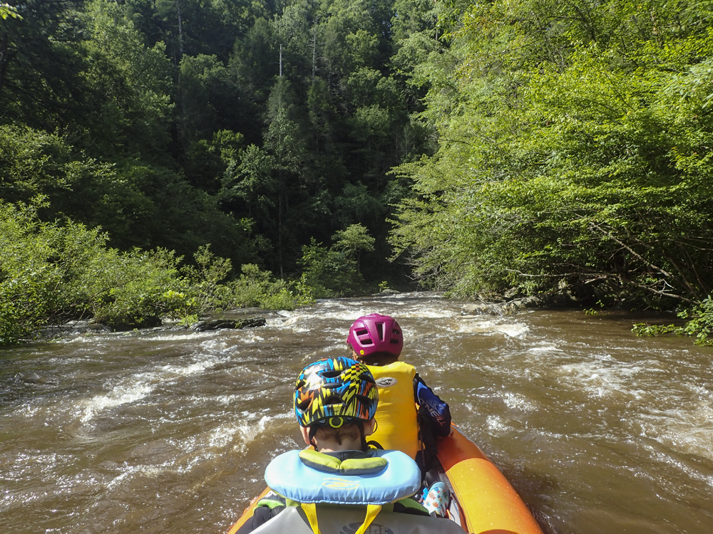
- Boogie (I to II). The first 5 miles is chalked full of class I to II boogie.
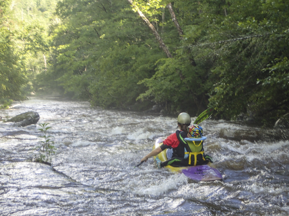
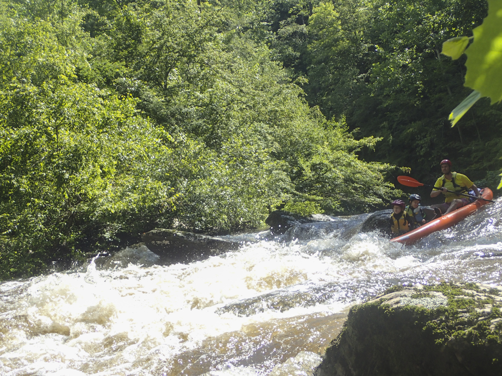
- Gorge #1 / Channels (II+ to III-). While it isn't really a gorge so to speak, you do notice 3 harder rapids in this section that will test you if you have been at your limit thus far. The first, is on a to the right. The river splits around several islands, the river right was runnable and the hardest line with a sloper into a wall reactionary. Diane ran it but we didn't feel great about it with the kids. So I went down the center channel which broke into three sub-channels, we took the far left which was narrow, but ramped through a harmless chute.
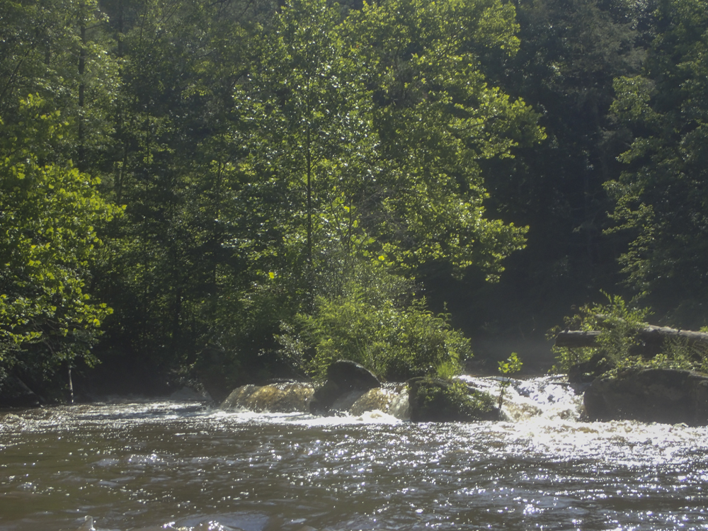
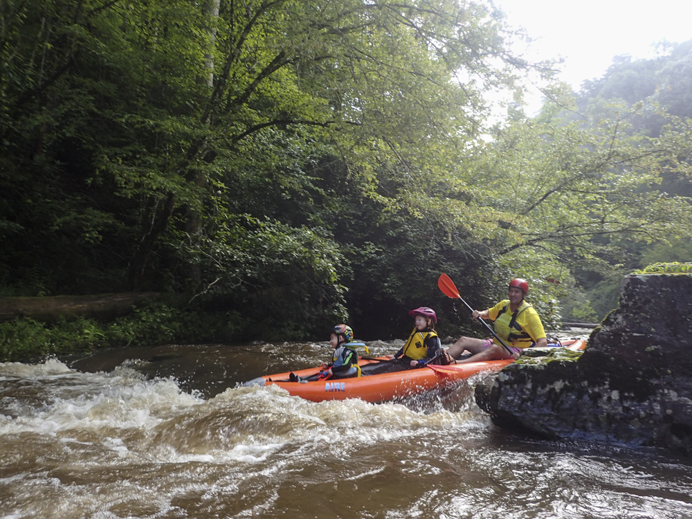
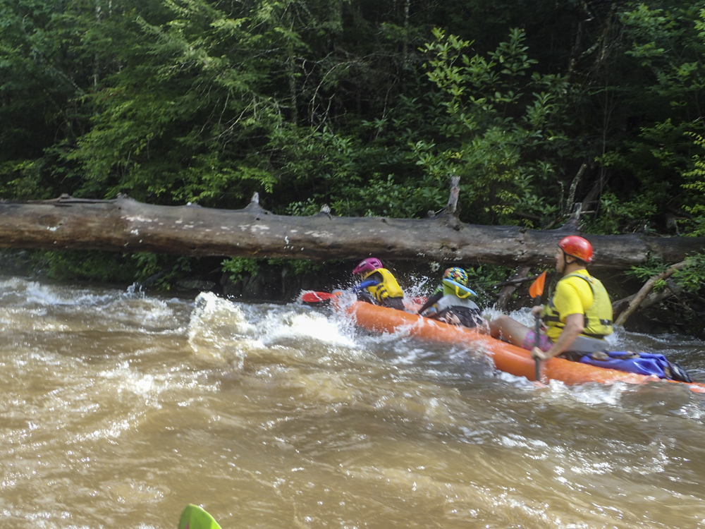
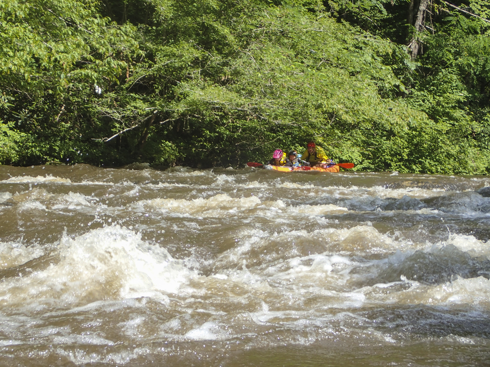
Gorge #2 / Long One (II+ to III-). Perhaps the biggest of the rapids. This rapid was long and had a boogie lead in we ran down the right before eddying out far left. From there, there was broken ledge that looked powerful on the right. We went down a folding tongue on the left. From there, ride the wave trail down the middle working left or right of the rocks at the bottom.
Gorge #3 / Tree (II). This rapid was a straightforward wave train but it had a tree in it to duck. Apparently, its been there a while and with more water creates a hazard.
Gorge #4 / S-Turn (II). The main channel is on the right wall which has overhanging trees in the summer making it a harder entrance. The water runs down the right before hitting an outcrop on the right shore. It isn't hard to avoid from the right shore, just move left. If you run left to stay out of the trees the water is shallow and it is harder to avoid the rock outcropping.
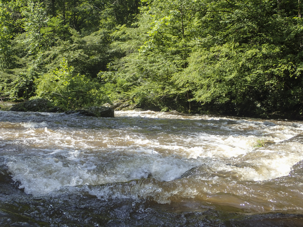
Gorge #5 / Slide (II). One a right hand turn are a few small ledges that deposit you on a bit of a low angle slide.
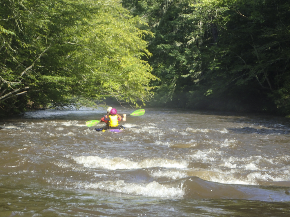
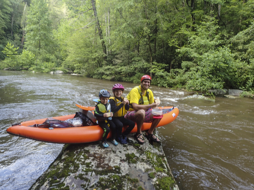
Gorge #6 / Last Hurrah (II+ to III-). We took lunch on a rock just above this rapid and noted it looked like there was gradient downstream. The main channel is the left side of the river. It starts with a bit of a folding ledge you can run on the right or the center. Then the river splits around some rocks for small chutes. We went center in the largest and it was good to go.
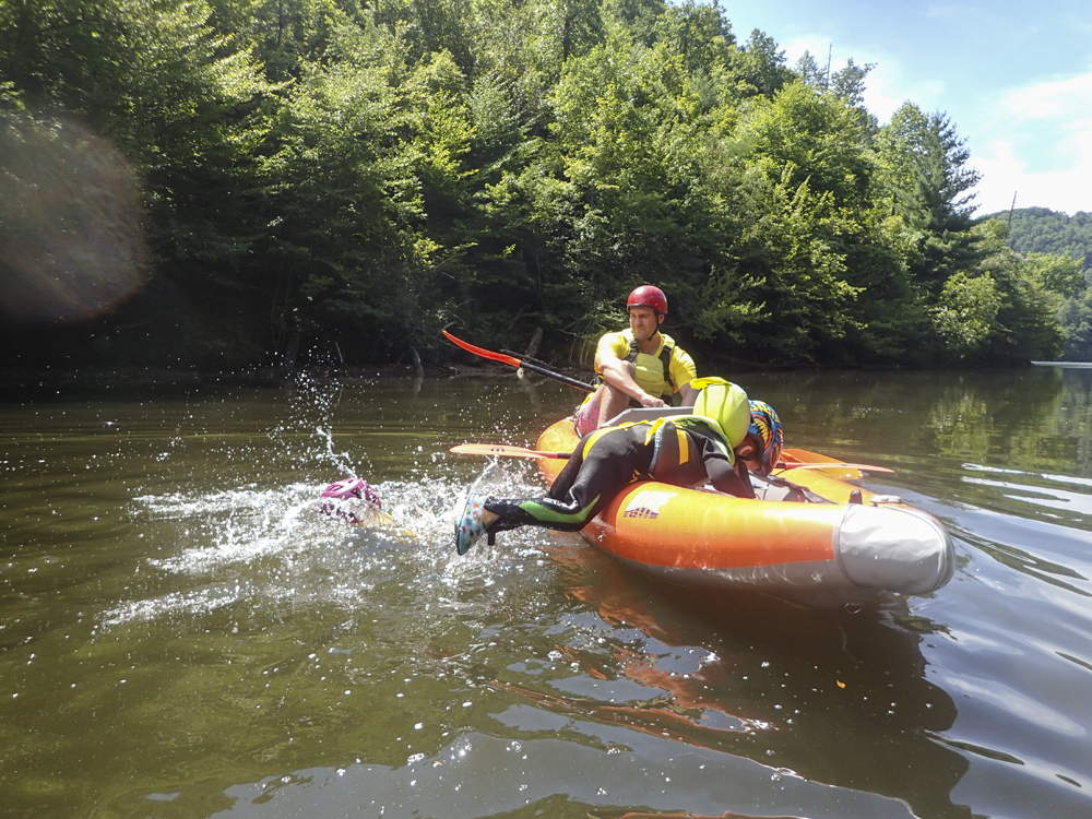
- Lake (F). If the lake is high, it will start 1.6 miles before the bridge
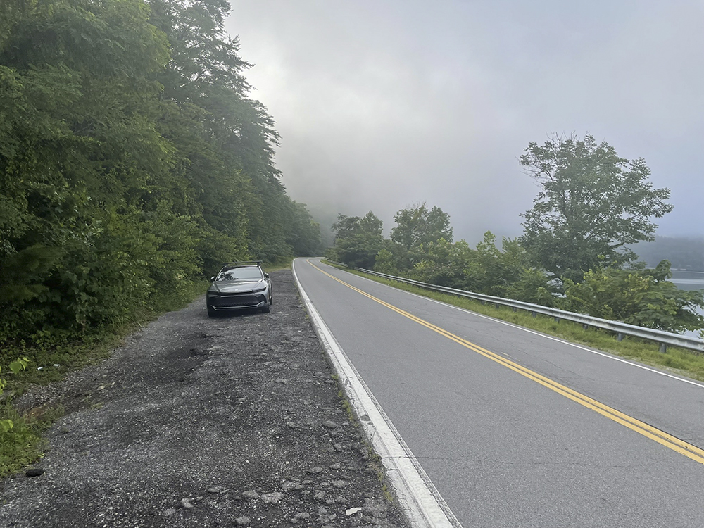
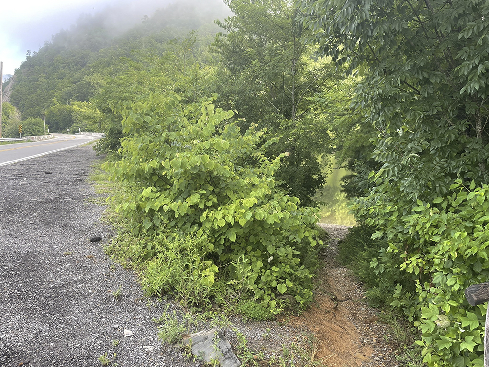
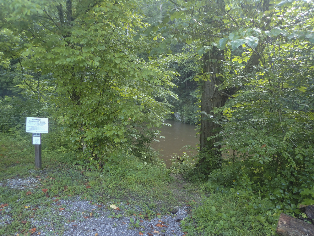
Take-out: The easiest way to get there is to Take 129 south from Knoxville. On the south side of Maryville, turn left off of 411 to stay on 129. Follow it for 18.4 miles to the bridge over Abram's Creek. A shoulder is on the far side of the river that allows parking and a short trail to the water.
Put-in: Go back the way you came on US-129 0.6 miles, before the Foothills Park way and the small inlet that goes up it, turn right on Happy Valley Rd. Follow this for 5.9 miles before turning left on Abrams Creek Rd towards the campground. Continue for 0.7 miles to the hikers parking in the field by the office.
HTML Comment Box is loading comments...