
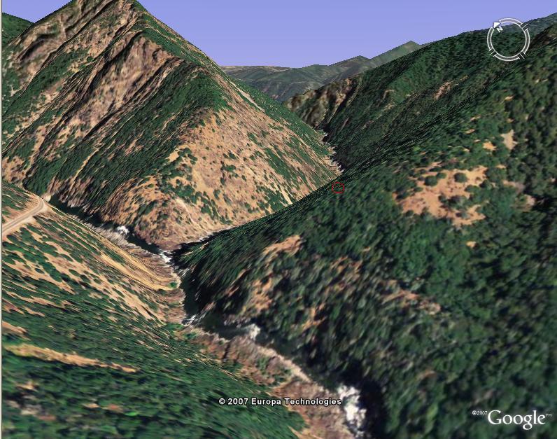
Google Earth
Ok, so why might you want this? Cause you can see what rivers are in the location of your next trip, cause you can get an idea of how secluded (ie. screwed) you are while on a river in case of emergency, you can get personalized directions from any location in the world to any put-in or take-out, and also to have the write-ups from A Wet State at your finger tips while using these other features.
What to Do:
First off, if anyone doesn't have Google Earth, it is free to download at: http://earth.google.com . Just press the download button and it is yours.Second, download the "WhitewwaterDatabase.kmz" file I made: click here (500kb) save and then unzip file. The file will be updated everytime I have a new run to add to it, so please check back from time to time. Also, this file cannot be distrubuted or duplicated without permission from Daniel Brasuell, © 2010. Last Update (2-4-10)
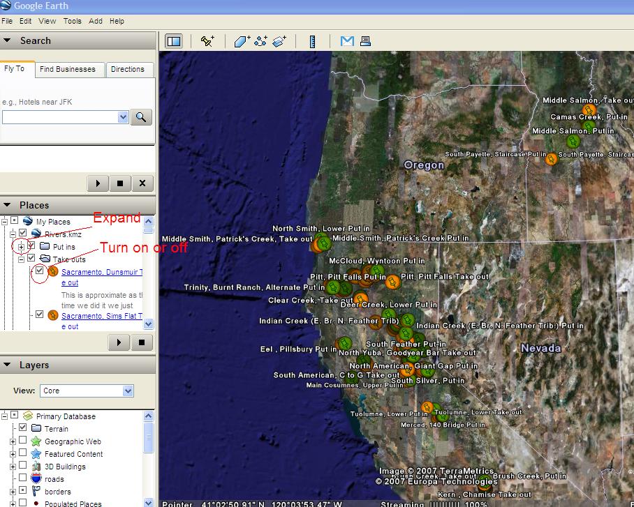
Third, open the "Rivers.kmz" file in Google Earth.
| Updated: | Material: | Contributer: |
|---|---|---|
| 5-7-10 | Many, some 16 new runs | A Wet State |
| 2-4-10 | Many, all of my new runs in 2009 (~25) | A Wet State |
| 1-26-09 | Many, including Mexico Trip | A Wet State |
| 5-27-08 | Many, North Salmon, Middle Feather, South Merced Etc | A Wet State |
| 2-19-08 | North Cottonwood Rapid-by-Rapid and Smith River Drainage | A Wet State |
| 1-26-08 | Big Bend Dam and other small corrections | A Wet State |
| 9-13-07 | Colorado and Idaho rivers | Paul Gamache/Caliproduct |
| 6-26-07 | Klamath Ikes Falls | A Wet State |
| 6-10-07 | Lower Trinity, Lower Stanislaus, Upper Tuolumne | A Wet State |
| 5-21-07 | North Fork of the Mokelumne, Below Tiger Creek and SFA Riverton to Peavine | A Wet State |
| 5-10-07 | Several Southern Ca rivers, Arizona Rivers | Cody Howard |
| 4-21-07 | Several Northern Ca rivers, Playspots, and Rapid-by-Rapid of Bald Rock Canyon | Darin McQuoid |
| 4-21-07 | Canyon Creek Rapid by Rapid | A Wet State |
| 4-16-07 | Several Northern Ca rivers | Paul Gamache/Caliproduct |
| 4-16-07 | Clear Creek, SFA Chili Bar, MFA Tunnel Chute, Rapid by Rapids | A Wet State |
| 4-16-07 | Upper and Lower Kern, Rapid by Rapids | Brett Duxbury |
| 4-14-07 | Alphabatized put-ins and take-outs, Rapid-by-Rapid Chamberain and Burnt Ranch | A Wet State |
| 4-11-07 | Rapid by Rapid: Trinity, Pigeon Point and Salmon, Nordheimer. Plus several runs Putlocations | Paul Gamache/Caliproduct |
| 4-11-07 | River Overlay for Google Earth | Claude Frank and GIS |
| 4-4-07 | Rapid by Rapid: Animated Grand Canyon Trip | Len Gaydos |
| 4-4-07 | Runs: Several Northern California | Paul Gamache/Caliproduct |
| 4-3-07 | Runs: Several Northern California | A Wet State |
Features:
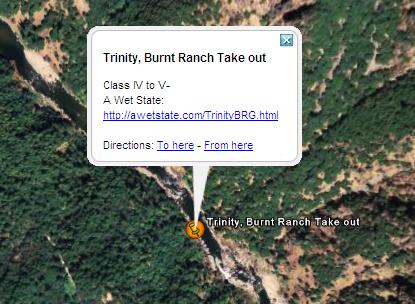
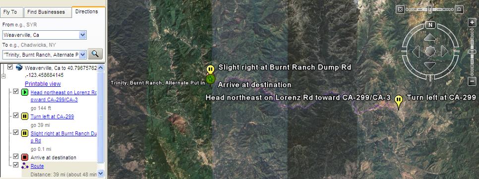
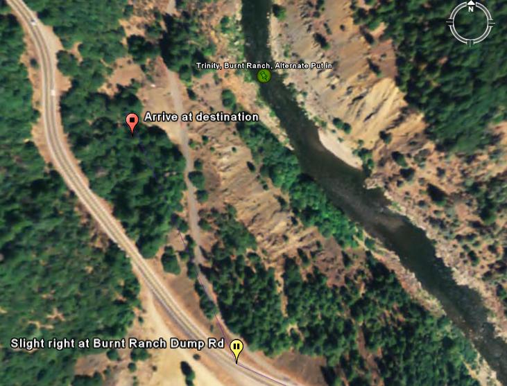
Also, get personalized directions to or from the icon's location by clicking "To here" or "From here." See below.

Enjoy, and send any improvement ideas to me. Thanks.