Santeetlah Creek (Upper)
| Stretch: | FR 81c Bridge to Forest Service Gate |
| Difficulty: | Class V |
| Distance: | 3.2 miles |
| Flows: | 2” below cement slab to 4 inches above (we have 6-8” above and it was very high but doable if you knew it). Look for 2+ inches of rain in the previous 12 hours. It drops very fast. |
| Gradient: | 362 fpm average. |
| Put-in: | Bridge on FR 81c |
| Take-out: | Campground A14 or A15 at high flow is the end of the hardest stuff. A14 offers easy access. Normally people break the Upper and Lower up based on the gate (at mile 2.5 from put-in) that is near A17. However, downstream was still class V at our level. |
| Shuttle: | 3.2 miles if the gates are open. |
| Season: | Winter/Spring from rain |
| Written: | © 2018 |
Man, I have been traveling too much for work. 7 months of every week in St Louis has certainly impacted my ability to get out and kayak. So, with a very large rain having passed through the previous night, when I got the word that we were going to head to Santeetlah or Snowbird, I was excited.
Arriving at the take-out for Santeetlah the flow was obviously high. I thought it would be deemed too high and thus we would plan B over to the nearby and just as classic Snowbird Creek. However, this river also is known for dropping incredibly fast. Typically, if you find the water a bit high, you wait an hour and then it will have dropped. Wait a few hours and you will miss it entirely. So, with that in mind, we figured it would be ok by the time we got to the river.
Due to being mid winter, gates were locked. We knew this. The gates to the put-in and take-out of the Upper are closed from January to April. So we set take-out at the lake, paddling the full lower run as well. Heading to the top, Jim's estimate was that we would have a 2-3 mile hike to the river. A few of us brought backpacks as the hike is entirely on a dirt road. That allowed for us to make good time, and just under 1.5 hours later we arrived at the river, having hiked in 4 miles. Well, that took longer than we expected. But we still had plenty of time. But, looking at the river, it was deemed high-side of medium. A few minutes later some other folks from Knoxville coming walking up having down the bushwhack 20 minute roto fight straight down the hill side to arrive at put-in, and deemed it high. The concern on their face made me think it was higher than high, and Jim and Caleb (our “leads”) amended their measurement to “yea it will be high.”
Regardless, optimism took over and we pushed off. The creek is only a few feet wide at put-in. Maybe 10. It is small, and non-stop. About 200 yards downstream, we found our first steeper drop which also led directly into a small eddy above some sketchy wood. We took turns catching micro eddies and working out way down. Below, the same continued. The high flow meant that drops all pushed into each other and the continuous nature was amped up a bit. There were some fantastic bedrock drops that then led to the first rapid portage of the day, a junky cascade that seemed to be 20 feet tall and then went into a broken ledge 10 feet tall. Below, we quickly got to the confluence that of the creek we hiked in on. We were about a mile in. And about an hour in.
I was feeling a bit sketched out by the high flow and the wood situation. The rapid at the confluence is large, steep, and very powerful at these flows. I was nearly set on hiking back out to put-in, but Caleb said this is as big as any rapids, and the rest are a bunch cleaner. His optimism convinced me to continue on, something I thought about later with some regret.
Heading downriver, the river turned to boulder gardens. Surprisingly, as the river got bigger, the eddies got less frequent. Some drops were classic, while others were long hole/boulder dodging affairs. Trees were always present and in some cases portaged, others were delicately avoided. But we began to fatigue and mistakes began to get made. To add to it, we were beginning to run out of daylight. We realized that the chances of finishing were unlikely. Then, near disaster struck.
In a super busy rapid, we became strung out, unable to find eddies. I follow Ben, thinking that everyone was heading downriver, when I see out of the corner of my eye Jim in an eddy and a large maybe 15 foot tall pour over immediately below. No where to go but down, I start lining it up. I see Ben shift left and plug. As I approach the lip I see him back-endering but thankfully clearing out of my landing. I charger harder left through the curler and boof, also plugging deep. I find two rocks to broach myself on below as I watch Ben struggle to role as cramps set into his body. Luckily, he does. Then I look upstream and see Diane broached on rocks above the drop waving frantically for help upstream as John has pinned badly. Thankfully a few moments later we get the ok sign from her. However, John had two point pinned and his boat was well under the water. It was now 6 pm, we had been on the water for water for almost 5 hours. And had gone 3 miles. With daylight fading, John had no option but to walk out. Ben used the opportunity to join him. I used that opportunity to also join. At this point, fatigue had fully set in and a flip could easily lead to a swim. The consequence of the swim at the high water was far too serious for my taste.
Luckily for us, there is a forest service road 100 yards above the river. So 20 minutes of roto hell later, we found ourselves popping up onto the road. We had a car at the top of the mid point road, we assumed that would be 3-4 miles hike. We also had the choice to hike back to put-in, what we assumed would be 4-6 miles plus more elevation. We opted to head downstream.
Within minutes it was dark. I find a campsite (A14) and assume that means we have a long ways to the bridge and the start of the climb out of the canyon. I decided to stash my boat in the bushes thinking either 1) I would go in next weekend and get it 2) get someone with an ATV to get it 3) pay a college kid to get it or 4) ask the ranger to open the gate and get it. In hindsight, this was a great call. The hike ended up being 6 miles long. Luckily the elevation was gentle so it wasn't too bad and we found ourselves reunited at the top of the skyway by 9:30 pm. We find out there that they only made it another mile or so before daylight forced them to hike out. And then found out the other group also had to hike out after experiencing a swim in their group as well.
After running shuttle, we headed home. Arriving near midnight, I quickly packed my bag and set an alarm… for I had a 5:30 am flight for work the next morning.
This run would be interesting to see again at a more normal flow. At the high flow, I was scared. The continuous nature and power of the rapids could cause issues to spiral out of control fast. The rapids were fun. But it was scary. At lower flow I imagine the fun factor only goes up as the danger is lessoned. But, beggars can't be choosers. For this run rarely gets enough rain. It only goes when large rainfalls hit and everything else is flooded. Additionally, if you wait for a visual, it is likely too late and dropping out. So, keep your fingers crossed and hope for the best. And enjoy the fantastic rapids.
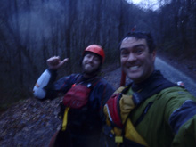
Mi 0.0:
- Start (IV). Nothing overly hard here. Just not class III either. It is continuous very low volume boulder gardens.
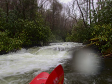
- First Bend (IV+). On the first right hand bend is the first bigger rapid. We started just off the left wall and dropped into a flume. This then turns into a slide before s-turning through two small holes.
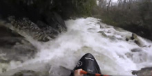
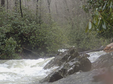
Boogie (IV to IV+). The boogie continues directly below. There was one rapid with wood that we snuck around on the far right. The action in this section just keeps going for maybe three quarters of a mile.
Island (IV to IV+). The first significant island we came to was only clear on the left side. After a class III lead in however, at the pinch in the narrowest spot, there was a river wide tree. We eddied out on the left to figure out where to go in the tight hallway. Luckily there was a small eddy just the tree that we could catch to use to portage it. Below, we boofed a 8 foot ledge middle and then headed left. Here the water from the island recombines and you have a mellow enough s-turn right then back left.
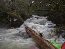
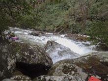
Boogie (IV to IV+). Downstream the boogie gets going again. You will enter two small low angle class II+ slides, eddy out left as you are approach a constricted drop. At high flow we were able to boof the right side of the center slot. I think it might sieve out at low flow. The left was a little junky.
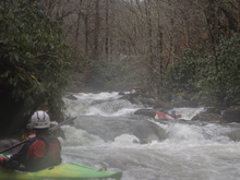
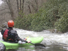
Double Drop (V). Not more than one small move downstream is one of the better rapids on the run. This rapid was best run center driving left onto the middle of a steep slide that dropped back to the right. Hit the bottom straight as it is caldron. Then turn left and boof the exit ledge anywhere.
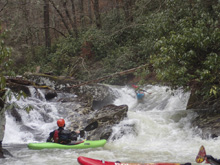
Boogie (IV to IV+). The boogie continues, there was one super shitty right slot on the far right. It went, but it was banging and then dropping into a crease. However, this rapid exits onto some super fun low angle slides.
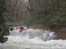
Hallway (V). One of the best rapids on the run. First is a small slide that we ran down the far left into an eddy. Then a small rapid led to the lip of a narrow Toxaway-esqe rapid. Just run down the center and don't piton the right wall!
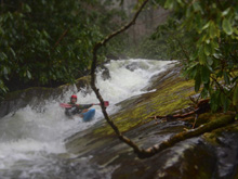
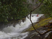
One more Boogie (IV-). Below was a fun double drop that we ran down the center. Then, exit on the left before the big drop below that is most commonly portaged.
- Cascade (V+). Usually portaged, this drop is 20 feet or so tall and bedrock. It is a big time clapper of a drop with big reconnects anticipated. Most portage on the left at river level, fighting off the roto. We then seal launched just below and got out one more eddy down on the left to scout the Ten Footer below.
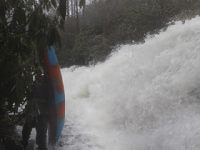
Ten Footer (V). This drop just didn't look appealing. A super broken ledge standing 10 feet tall or so and a shelf extending out on the left implying the landing is shallow. Additionally, the far right goes into a no go slot. Immediately downstream is a sticky hole that was ok if you were straight and in control. All but Jim chose to walk on the left. Jim didn't hit bottom but it didn't look pretty. He has apparently also run this drop at low flow. Others said they have never run it.
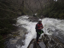
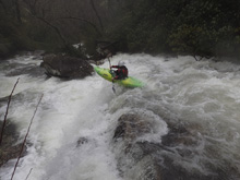
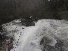
S-Turn (IV to IV+). Immediately below was an s-turn with a bad flake in the middle. The line was to drive right at the top and avoid the flake. I took it to the ribs as I caught an edge and have a very purple bruise thanks to it. As the s-turn bends back left, you want to work off the right wall as it is a little junky over there.
- Confluence (V to V+). The rapid at the confluence is large. At low flows it looks so much mellower. But at these high flows there were two very large holes. Try to be center heading left for the first hole in the middle of the rapid and left for the second which comes at the bottom. Jim ran it while the rest of us walked it.
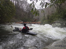
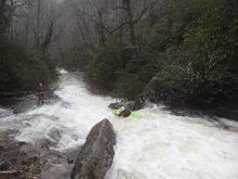
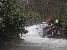
Boulder Gardens (IV+ to V-). The boogie down hear is bigger rocks and bigger water. But honestly probably less eddies at the high flow. Especially near the end of the run. I am sure at normal flows eddies are less of a problem.
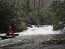
“This was a Classic” (V- to V). Big tree taking away 95% of the line in a pushy rapid. Forced us to portage on the left. Jim declared his disappointment as he told us to portage.
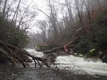
Tree Boof (IV). There was one sick boof here on the left side that was maybe 8 feet tall. You had to hit it well to clear the tree that was in the landing. By clear I mean land on it… not under it.
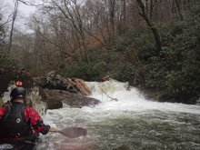
Ramp Slide (V-). Such a fun drop. The top was a non vertical slide that ramped out after dropping some 15 feet. The ramp then sends you flying over a 3 foot drop with a sticky hole. If you are straight the ledge is clear through easily. If you weren't you got a good surf. Our group had a few surfs.
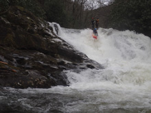
Boogie (III to IV). There is some really nice boogie in here...
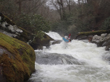
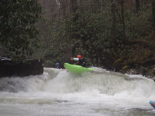
Long One (V). This was a long rapid. The top started off rocky, we started right of center and then went back center through the top. This then led to the big exit which consisted of a double ledge that you wanted to be center/left at the top of to line up well for the lower of the double ledge. I got pushed right in the entranced and melted deep through a seam popping up on edge in the boiling eddy below, luckily clear of the hole. The exit was another small slide that we ran down the middle of.
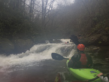
Crack (V-). Just downstream, we ran into a tree that was blocking 99% of the river. It turns out though with an exposed ferry, you could ferry in front of the tree to the 1% opening. Some beta was not passed though and a few of us didn't know about the undercut left wall below. I was 80% of the way upside down against the wall as I dropped through the 4-5 foot tall crack into a big hole. Luckily I rolled up immediately as 1) the hole was big and 2) just below was a junky exit ramp. It turns out the other group out that day had a swim here.
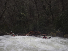
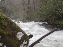
Boogie (IV to IV+). Some easier boogie allows for some mileage to be made.
Sliding S-Turn (IV to IV+). Well our day it had wood at the top, so we portaged (left) down to below the wood. It was a pushy, tight, but not steep slide that I bet is mellow with less water.
Big Slide (V). A long not quite low angle slide slides you into the right wall and then into a large hole before then exiting with another short slide… which for us had a tree. Portaged the top slide, put on for 10 feet, and got back out to finish portaging. The left is the side. It was sorta a pain with pretty thick roto.
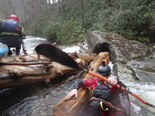
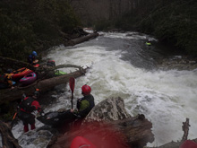
- Boogie (IV to IV+). Eddies began to get less frequent… just as we began to get more tired.
Island (IV+). At an island, we went right. There was a tree in the channel that we went right of. The drop was a small ledge which led to a taller and stickier ledge. Run both center. This led to some long run out and to the top of the next rapid.
Congested (V). Two lines were available. Start right or start center. The rapid weaves all around rocks, they all went at the high flow. The hazard was a tree in the runout. Going left was easy as long as you planned ahead. If you didn't, it could get dicey.
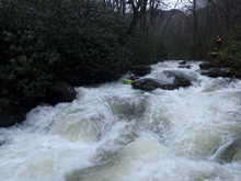
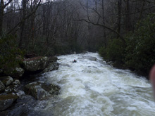
Run-out (IV). The runout of the congested drop was boogie which then led to a ledge that you wanted to be far right on.
Oh Shit (V). Below, we entered another boogie rapid that suddenly got steeper and had very limited eddies. One in the group pinned under water. Then three of us went off the 10-12 foot tall pour over blind. As I crested, I see Ben back-endering. I am so glad he cleared. The ledge slopped left, so get some cross current to the right and take a big lefty. Luckily the person that pinned was able to get to shore without flushing downriver. His boat was stuck… it was 6 pm. He had to hike off. Ben and I decided to join him. The road is always nearby above, so 15 minutes of roto hell later we were on the road.
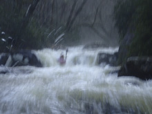
- End. It turns out the river is just boogie below here though there was more wood. I think there may have been one more standout rapid that Diane/Caleb walked while using the road for a wood portage. But then it mellows out down to the bridge 5 miles downriver. Or you can exit here if you have a car available and the gates are unlocked.
Take-out/Put-in (Gate Open): After April (not sure of the exact timing) the gate should be open. In that case, go down to take-out from the top. From Tellico Plains, take Old State Hwy 165 (Cherohala Skyway) up the Tellico. Continue for 24.9 miles. Just after popping into North Carolina, turn left on Old Santeetlah Rd which turns dirt. Pass one gate here… this is where you hike in to put-in from if the gate is closed. Continue down the dirt road for 2.7 miles. You will come to another dirt road going off to your right. That is the road to put in (1.4 more miles to the bridge and also has a gate at the start). For take-out, continue heading downriver another 1.1 miles. There is a gate. You can park near there… or head down another few tenths of a mile to one of the easy access points at the campgrounds below. A14 is an easy one.
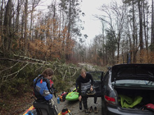
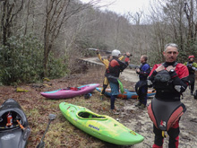
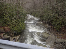
Take-out (Gate Closed). You have a few options… paddle another 4 miles of the Lower down to the bridge that climbs back up to Cherohala Rd. This is a 1.3 mile hike and gains ~400 ft. Not terrible. Or continue downriver an addition 3.5 to the campground and bridge at Santeetlah Rd.
HTML Comment Box is loading comments...