North East Roadtrip 2015 - Day 6 Afternoon
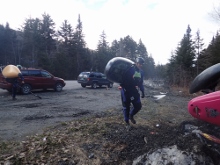
The plan was to meet at 4:30-4:45. Since we were driving from New Hampshire we ended up getting there early, around 4:00. As 4:30 came and went, nobody. As 4:45 came and went, nobody. “We didn't have much cell service, I wonder if the plan changed…?” Finally one car showed up… also wondering where everyone else was. Finally a little after 5:00 folks started showing up, flows were verified to be low but ok, and we set shuttle.
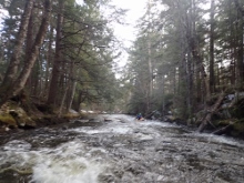
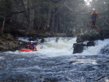
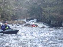
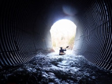
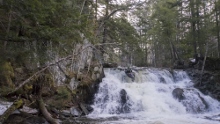
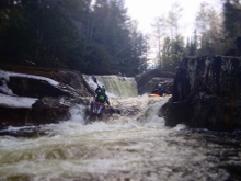
Once pushing off shore we paddled a little ways of flat water to the first set of rapids. Once in the rapids we all began to think “this is really low.” The ledges were broken, the slides shallow, we all began to wonder just how junky the day would be. Luckily once past these first few drops the river did channelize more. However our friend who had done it before did proclaim that it was lower than he thought when he looked from take-out. Oh well… you can't win them all, especially when you are on roadtrips.
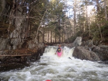
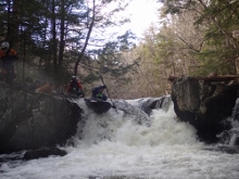
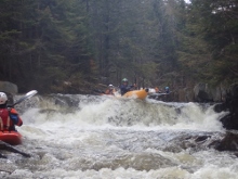
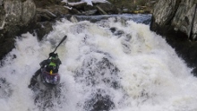
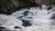
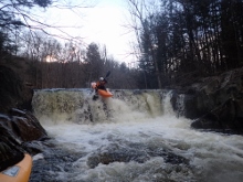
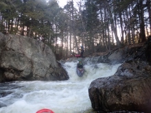
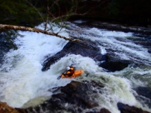
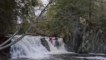
The big drops on the run were still a lot of fun… though also horribly boat abusive. The rock here is like 40 grit sandpaper and pointy in all the wrong places. Several drops involved boofing straight onto rocks or sliding on rapids that then sent you straight over a shallow outcropping. I am 100% sure that with more water this run would be great though. A handful in our groups weren't feeling the size of the drops and abuse they would deal with and ended up walking the 3 major drops. I am guessing that they probably would have said it was not worth it at this flow. As it was, I am borderline. Of course, the guidebook does say you need heavy rain to get the creek going… and that we had not gotten. So we have no one to blame but our own optimism!
Last: North East Roadtrip: Day 6 Morning (Swift River)
Next: North East Roadtrip: Day 7 (Joe's Brook)
