Printer Friendly Big Sandy Creek (Lower)

Big Sandy Creek (Lower)


Stretch: Rockville Rd to Blue Hole
Difficulty: Class IV to IV+
Distance: 5.0 miles
Flows: 5' to 7.5'. Visit the AW flow page
Gradient: 82 fpm average
Put-in: Bridge on Rockville Mt Nebo Rd
Take-out: Bridge over the Cheat River on Bull Run Rd
Shuttle: 5.1 miles (25 minutes one way, rough dirt road, SUV / SAV required - Highlander was just enough)
Season: Winter and Spring from rain plus occasional thunderstorms in Summer and Fall
Written: © 2015
Featured in A Wet State #99

Mi 0.0 Mi 0.75: Mi 1.1: Mi 1.25: Mi 1.5: Mi 1.6: Mi 1.75: Mi 3.7:


For more details on the run, see the AW write-up...


Take-out and Put-in: You need at least a Highlander / Outback or equivalent as the road to put-in and take-out is very rocky and requires some clearance. 15 miles East of Morgantown WV on Highway 68, take exit 23 for WV-26. Head south for 1.8 miles before turning right on Pleasant Valley Rd. In 1.2 miles veer right onto Co Rte 14/3 and continue for 0.4 miles before it turns into Little Sandy Rd and continue for an additional 0.4 miles before it then changes names to be Shawhill Rd. (Just stay straight). In 1.9 miles you will pass a dirt road turning sharply back up that parallels a creek down to put-in. But first, getting to take-out… rather than turning continue straight for another quarter mile to the T, turn left. Then in 0.6 miles turn right at the fork onto Bull Run Rd. The road then degrades for 3.5 miles to the large parking area at the bridge.
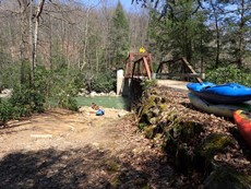
Put-in:

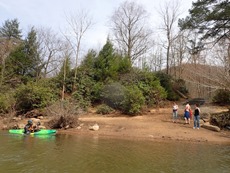
Take-out:


HTML Comment Box is loading comments...

A Wet State - Home Page