Piney River Segment
| Section | Sub-section | Miles | Elevation Gain West to East (ft) |
Elevation Gain East to West (ft) |
GPX File (Right click, save as) | AllTrails Link |
| Piney River | Lower & Upper Piney River (Does not exist currently) | - | - | - | - | - |
| Lower Piney River | 4.1 | 470 | 750 | Link | Page | |
| Upper Piney River (Does not exist currently) | - | - | - | - | - | |
| Piney River | Lower Piney River & Duskin Creek | 8.7 | 740 | 1,640 | Link | Page |
| Duskin Creek Spur | 4.6 | 253 | 869 | Link | Page |
Piney River
- Stars: ★ ★ ☆
- Access: On the eastern end, the trail starts at the Piney River Trailhead (Location: 35.71324, -84.8809). There is no trailhead on the western end, either do it as an out and back or continue up through the Duskin trail and use the Newby Treailhead (Location: 35.70296, -84.95322). At a TBD date the Upper Piney River section will be created and continueing through that section will also be an option.
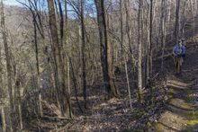
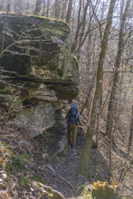
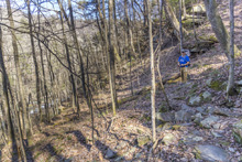
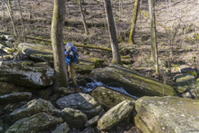
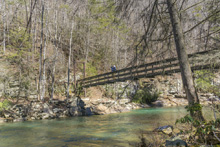
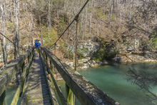
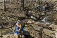
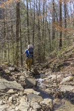
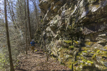
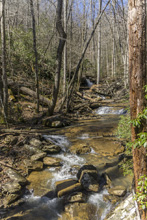
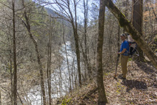
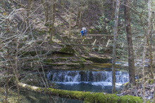
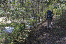
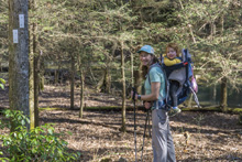
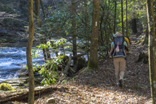
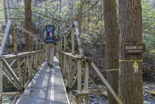
- Description: This is a pleasant trail that is along the river through its entirety. The main drawback of this trail however, was the numerous downed trees (2021) that resulted in hikers trampling their own path around the fallen trees or for us, the constant removal of Aster from our backs to pass her over/under/through trees. If it were clear of the trees though, I would say the pleasantness of the river sounds filling the air would give this a 2.5 star rating. While nothing was spectacular, it was all around nice. You start off the hike at Piney River Trailhead. You quickly pass some nice bluff features as you gain some elevation over the river. The gradient is gradually up in general, with a few nice features, some nice river views, and a nice seasonal view of the canyon near the apex of the section at mile 2.0. The river then climbs up to meet you at a nice suspension bridge crossing at mile 3.1. There is also a nice campsite at this spot. You then walk on an old bench grade for the next mile, passing some small bluffs over the river, before crossing the small "Pine Branch Falls" and more spectacularly at 3.9 the Rockhouse Branch. Here the trail works a short ways up the canyon to another bridge and wonderful cascade to take in. Just beyond the bridge, the trail forks with the left fork going to the Piney River Picnic Area (camp) and the right being the main trail which climbs briefly before dropping back down into the Duskin canyon. Here, the Duskin Creek section starts. Eventually, somewhere the Upper Piney section will break off, but apparently that is still in the planning stages.



Lower Piney River
Upper Piney River
-
This section does not currently exist. Check back in a few years.
Spur Trails
- Stars: ★ ★ ☆
- Access: On the western end, the trail starts at the Newby Trailhead (Location: 35.70296, -84.95322). There was an old access site where you cross Walden Mt Rd ("Duskin Creek Trailhead") but that access is now closed due to landowners wishes. On the eastern end there is no trailhead, so either do this as an out and back or continue down through the Lower Piney River segment and use the Piney River Trailhead (Location: 35.71324, -84.8809). At a TBD date the Upper Piney River section will be created and continueing through that section will also be an option.
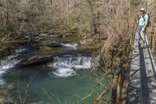
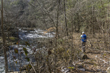
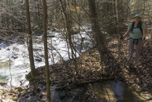
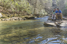
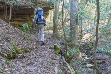
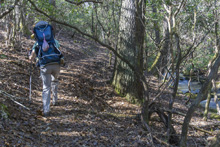
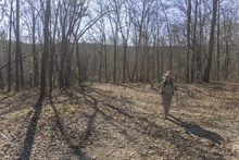
- Description: This is a pleasant trail that I would say bordered on 2.5 stars if it werent for all the downtrees. It is a nice river walk, different than many of the CT trails which seem to focus on bluffs and overlooks, rather than river. Starting at the Newby Trailhead, follow the blue flaggings (2021) to a dirt road, follow this 100 yards before turning left onto the trail. There was a mix of blue flaggins and white blazes for the next 0.25 miles before the trail was consistent in its white blazes. At this time, you will cross a bridge over the headwaters of Duskin Creek and the trail turns into a nice creekside walk. Walden Mt Rd is visible for much of it on the far side of the creek, that is the road to take you to the old trailhead. At mile 1.2 you will get down to Duskin Creek proper, look for the sharp left turn when you are nearly at river level. This takes you to the road. Turn right on the road and cross the automobile bridge and quickly turn left to get back onto the trail. At mile 1.6 you will cross Duskin Creek on a nice bridge. At mile 2.1 there is a weird switch back which forms a big s and seems to serve no real purpose, weird trail building in that 100 yard section. At mile 2.7 is the highlight, White Pine Falls which is trailside. Shortly after the trail begins to climb away from the river before rounding two ridges at altitude. At the first one, mile 3.2, there is a short spur to Spider Den Bluff. We did not take this as the trail was a bit overgrown and we had Aster on our back. At mile 3.7 you get back down to river level and a quarter mile later get to Deep Pool Falls, at mile 3.9, and metal bridge over a sink hole looking feature in the river. Less than a quarter mile later there is a spur to Hemlock Falls or a sharp left to stay on the trail. Having kayaked this creek, I know that Hemlock Falls cannot be anything all that impressive so while we did walk 150 yards to look for a nice lunch spot we did not keep going on the increasingly overgrowing spur to see the falls. Back out at the main trail, a short climb leads you higher away from the river. At mile 4.5 a fork appears, to the right takes you to the signed "Piney River Picnic Area" (camp) or the left is the main CT trail and its next destination "Rockhouse Branch." This is where the Lower Piney River section of the CT picks up and the Duskin Creek section ends. At some point, the Upper Piney River section will be built but I don't know where it will connect. Note, we hiked this uphill as a continuation from the Lower Piney Trail, so my pictures are in reverse order of the description.


Duskin Creek
HTML Comment Box is loading comments...
A Wet State - Home Page>
