North Chickamauga River Segment
| Section | Sub-section | Miles | Elevation Gain South to North (ft) |
Elevation Gain North to South (ft) |
GPX File (Right click, save as) | AllTrails Link |
| Full Segment | Lower and Upper North Chickamauga | 16.2 | 1,940 | 3,130 | Link | Page |
| Lower North Chickamauga: Montlake to Rockhouse Junction | 7.0 | 1,830 | 1,030 | Link | Page | |
| Barker Camp Rd Connector | 1.1 | 240 | 20 | Link | Page | |
| Upper North Chickamauga: Rockhouse Junction to Hall Rd | 9.6 | 910 | 1,340 | Link | Page |
Lower North Chickamauga Creek: Montlake to Rockhouse Junction
- Stars: ☆ ☆ ☆
- Access: This parking area is a road that drops down to the large multi-tiered parking area off of Montlake Rd to the "North Chickamauga Creek Gorge Trailhead." It is only open from 7 am to 7 pm so plan accordingly as to not get locked in. The other end of your hike is either the Barker Camp Spur or the Hall Rd access described in the Upper section.
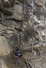
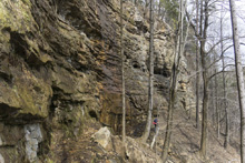
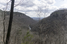
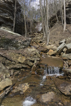
- Description: What a nice trail! Bluff lines, overviews, creek side walks, waterfalls, it has it all. At times the trail is a little rugged which means some slow progress, but overall this trail is just fantastic. Most users of this trail will begin at Montlake and just go ~1mile to Strip Mine Falls, maybe continue ~2.5 miles to the overlook. These are both great options and make for a great shorter hike option.
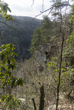
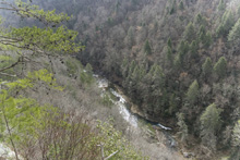
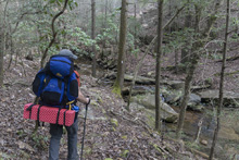
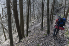
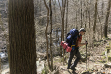
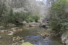
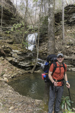
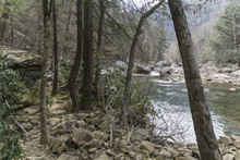
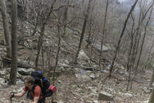
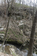
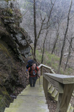
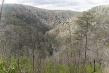
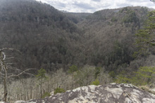
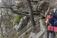
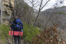
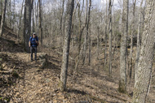
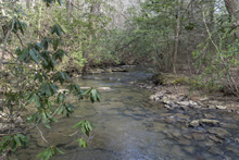
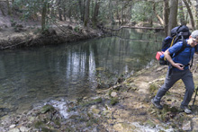
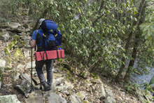
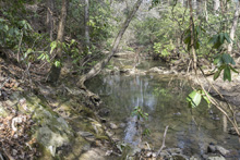
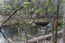
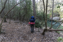
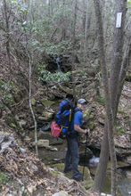
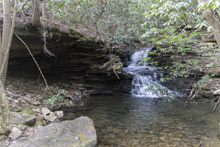
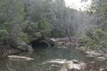
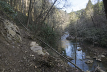
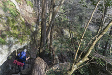
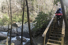
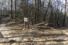
But for the full trail, I will describe it in reverse. I have been hiking the CT south to north, so I came down the Upper and then down the Lower. This section of the trail starts at the junction on top of the Rockhouse feature. Here the Upper, Lower, and Barker Camp spur come together. The trail starts on an old road bed but look for the signs pointing you into the woods on trail to the right. From here the hike is along the bluff top with occasional nice views. After 1.4 miles you get to a marked overlook which is well worth the time to stop and take in the view. Shortly after is a brief climb before you then drop into Cooper Creek steeply at mile 2.5, descending about 500 ft. The creek is very pretty and you hike down its steep slope to the confluence with the North Chick. Here, find a rock hop that suits you. Note, after heavy rains this crossing would be very dangerous. It really needs a bridge, but to date there is none. We were able to keep our shoes on, but just barely. You then walk along the river side on large boulders, which makes slow progress. You will pass the Stevenson Branch which is a fantastic small waterfall on a side creek and a site of official backcountry camping at mile 3.3. Not long after you will encounter your first stairs which briefly climb you away from the river before dropping you back down to it. At mile 3.8 you begin a very steep climb, 500 ft, up rocks and eventually stairs to the canyon rim above you. You will crest a half mile later. Here, you need to abort you can by turning left on the grade, or turn right following the CT signs. The trail flattens out and progress is quick to the next overlook at mile 5.6. You then have a small descent down stairs and follow the bottom of the bluff line over rocky terrain to a waterfall at mile 6.6 and the descent. On the descent you will come to a junction to drop down steeply on the Hogskin Loop at mile 7.1. The CT continues straight for another quarter mile on the road to another junction. This time drop down and follow it to the trailhead.


Barker Camp Rd Connector
- Stars: I have not hiked this short connector trail yet.
- Access:This connector is used as the northern access (Location: 35.23681, -85.23415) for those not wanting to out and back from the bottom. The parking is at a gate on the road. Park at the gate and walk down the road or the new trail that runs more or less parallel to the road. From here you can either hike 11 miles to Hall Rd or 8.5 miles to Montlake Rd.
Upper North Chickamauga Creek: Rockhouse Junction to Hall Rd
- Stars: ☆ ☆ ☆
- Access: Parking here is called the "Hall Rd" access but it is actually on a short and not great dirt road called "Old Anderson Rd." Drive down Old Anderson Rd to the end. (Location: 35.212607, -85.361712). From here you can either hike to the Barker Camp Trailhead or the far end at Montlake Rd.
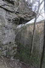
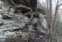
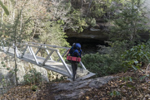
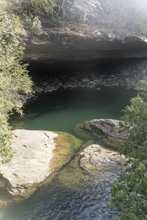
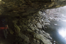
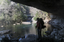
- Description: To begin I will say that the highlight of this section of hike is the bridge over Cain Creek and the Rockhouse feature. These features are most easily reached from the Barker Camp Trailhead and would make a nice 2 mile hike with moderate elevation gain. The hike in its entirety is nice, along the creek for the most part, rugged at the rockhouse end, but otherwise not that spectacular. The Rockhouse feature gets 3 stars but the rest of the hike probably only deserves 2.
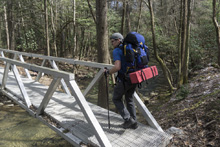
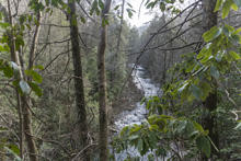
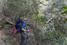
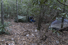
This description is actually from Hall Rd to the Rockhouse Junction as I am hiking the CT from South to North. From the parking area you quickly descend down to the upper reaches of North Chickamauga Creek which you cross at mile 0.6. From here you follow the creek downhill on a nice trail. At mile 4.2 you cross Seed Tick branch which has a nice small waterfall at the crossing. At mile 5.4 you come to the Holly Branch campsite and creek crossing. This one could pose an issue in high water. It was narrow but not super straight forward. The camping spot was nice as well. Just afterwards, you will be on a road grade, take note of the trail departing to the left. If you come to a ford on the road, you went 200 yards to far (as we did) so backtrack to the trail. Around mile 6.7 you will depart the river side and climb, remaining above the river only briefly dropping down. We camped here in a small flat spot at mile 8.1. In the morning we then began immediately to climb again, when the trail descends at 8.8 you will drop down into Cain Creek and begin to hike up that tributary along the river. The trail here is rough and cobbled meaning slow progress. Finally at mile 9.5 you will cross Cain Creek on a nice aluminum CT bridge. Here you can bush whack upriver for a view of Vortex gorge, or view Drainpipe rapid from the bridge looking upstream, or the Rockhouse looking downstream. After you cross the bridge the trail goes back into the Rockhouse before joining an old road grade. At mile 9.6 you begin a steep ascent up the road grade. 0.4 miles later you crest to the junction. Either continue to Montlake Rd by turning right, or exit to the Barker Camp Trailhead by hiking 1.3 miles on the connector to the left.

HTML Comment Box is loading comments...
A Wet State - Home Page
