New River Segment
| Section | Sub-section | Miles | Elevation Gain West to East (ft) |
Elevation Gain East to West (ft) |
GPX File (Right click, save as) | AllTrails Link |
| New River | Full Section - Frozen Head to Highway | 35.2 | 7,080 | 9,060 | Link | Page |
| Arch Mountain | 11.0 | 1,280 | 2,980 | Link | Page | |
| Lawson Mountain | 9.8 | 2,300 | 2,340 | Link | Page | |
| Anderson and Cross Mountains - Norma Rd to Frenchman's Grave | 12.9 | 3,500 | 1,830 | Link | Page | |
| Anderson and Cross Mountains - Frenchman's Grave to Old TN-63 | 4.1 | 60 | 1,910 | Link | Page |
Arch Mountain - Frozen Head (Garden Spot) to Smokey Creek Rd
-
I have currently not hiked this section... come back again
- Access: Note that the Garden Spot end of this trail is located in the backcountry and only accessible via trails that originate in Frozen Head, including the Cumberland Trail within the "Bird Mountain Segment" as well as other Frozen Head State Park trails. Additionally, as of Dec 2020 this section of trail is closed due to impassible blowdowns making dangerous conditions.
Lawson Mountain - Smokey Creek Rd to Norma Rd
-
I have currently not hiked this section... come back again
Cross and Anderson Mountains - Norma Rd to to Tower Rd (Frenchman's Grave)
- Stars: ★ ☆ ☆
- Access: On the west end, the "Norma Road Trailhead of the Cumberland Trail" (Location: 36.30371, -84.38545) is on Norma Rd, 7.6 miles south of TN-63. On the West End, I cannot speak to the quality of the road, it looks major and looks larger than roads I crossed on the hike which were in ok shape, but I have no driven it myself. I would plan to take a SUV style vehicle if accessing this spot. Frenchman's Grace has a trail kiosk which leads me to believe it is SUV accessible and does not require 4x4. (Location: 36.29796, -84.26397). Alternativly, just hike down the mountain. It is the best part of this whole section. So yea.
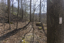
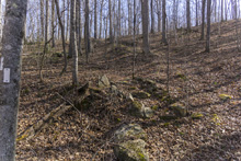
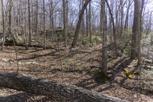
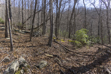
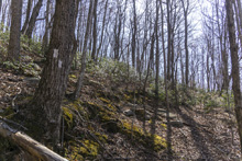
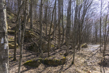
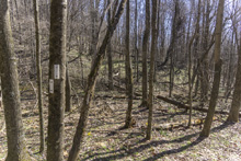
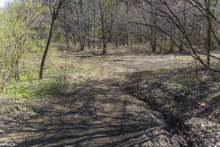
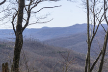
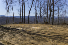
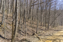
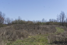
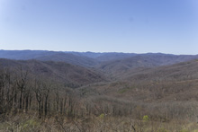
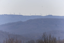
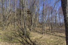
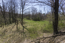
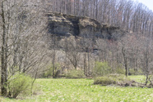
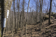
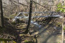
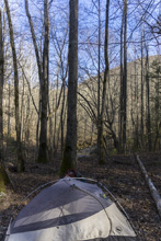
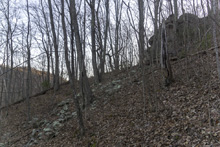
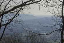
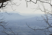
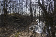
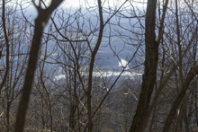
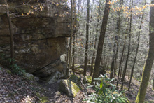
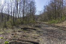
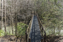
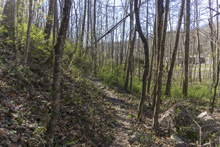
- Description: So, as it stands now (2021), this hike is not for novices. Many parts the trail is nearly non-existent and you are merely following blazes from blaze to blaze, and many of those have been torn down. So, needless to say, a GPS tracking system is a must to know which way to go or to indicate when you got off trail. Additionally, many parts of the trail have ATV or old fire roads crisscrossing the path, and sometimes the turns offs are sharp and easy to miss. Finally, Anderson Mountain especially, has been ravaged by mining and the result is the hike is on benches and meadows which are artificial and indicate the atrocities committed to the nature in these parts. Oh and a final note, the trail is very steep at times. And as I said, the trail is old and hasn't been maintained super actively, so sometimes the wooden steps will give way under you as the foundation for them has eroded in the decades since they were installed. So be aware of every step. All of this, leads me to give this section of the trail one star. Now for the desription, which I will start from Norma Rd. The hike starts with a steep but brief climb before sidehilling around the small mountain. Near the one mile mark, you get to a big intersection of roads, look for the trail which goes up to the left. You then quickly hit a road and will walk along that. Before the road begins to descend, at the 1.4 mile mark look for the easy to miss steps that are the trail going steeply up to the left along the nice rock formations. The trail climbs steeply and hits a road, turn right for 100 ft and look for the trail again leaving to the left. Climb steeply, hit another road, this time turn left for 100 ft and look for the trail leaving up to the right. Not long after this, at mile 2.0 or so you will come up on a bench that is overgrown and has a rock wall, to the left is a small pond, the trail goes up on the point of the bluff line basically right in front of you. Downed trees made me get pushed right and missed the trail and I had to backtrack following a gps track to find it. The next 1.5 miles or so is on an old mining bench. The trail weaves around and at times is tough to follow. Just walk down the bench and try to follow the blazes as best as possible. Around mile 3.5 you pop out on a road, turn right and quickly hit a major road that is frequently traveled by ATVers. Turn right and walk the road for a quarter mile to the well marked spot where the trail cuts back and climbs steeply up the left bank. This then follows the road's contour but is up off the road. At mile 4.2 or so you will get to a large embankment. I didn't see a marker here, I followed other foot paths straight up the embankment, but the trail was supposed to follow the faint old road grade to the left around the null and then leads gently up to the meadow. Walk the length of the meadow on the main path. At mile 4.75 or so you will get to an overlook that is unobstructed and wonderful, though also over large old mining efforts. The entire meadow is the remnants of the mountain as the top was taken off for mining a century ago. From the meadow, descend the far east end steeply to the lower meadow and cross the length of that. You will see the big wall, venture immediatly to the left of it to pick the trail back up. The trail here is hard to follow at times, from here to Montgomery Fork, but head generally down hill the rest of the way to Green's Branch at mile 8. As you drop into it, you briefly hit a road, go left then cut back on a smaller road though the trail drops down almost immediatly from that smaller road. I missed that move too. The bridge over the creek is sketchy, I would recommend not using it. I did, and was scared, and read the CTC write-up afterwards which recommended skipping it back in 2013 until it is replaced. It is super rotted and weak. This is a good water supply and offers a nice camping spot. From there, climb steeply again on a super small trail. There were some trees down here which make it hard to follow the trail at times. I crossed a small creek and then lost the trail, it was up to the right 100 ft, no clue how it got there. At mile 9.2 or so you will cross Spring Branch on a nice bridge, again this offers nice water and camping options. You will then climb again, mostly on some old road grades before dropping down to Montgomery Creek at mile 10.0. This offers nice camping and water. It is where I stayed the night. From there, cross the creek on the nice metal bridge and begin a very steep climb. After a mile you have climbed 600' and hit a small bench which offers you a break before the steep climb continue. You will hit a major dirt road, turn right for 100 yards before continuing the steep climb. Careful on the wooden steps up and below that road, they are loose at times. At mile 11.5 you will be walking on an old smaller road the grade gets easier. At mile 12 you turn left and do one last push of elevation to crest a ridge (summit?) and immedatly drop down the other side to begin sidehilling. Following the contour you get to the views of LaFollette and Cove Lake, and begin to see a road below you. Its almost all downhill from here. Once you hit the road... turn right on the road to Frenchman's Grave trailhead in 400 feet, or basically immediatly drop down on the other side of the road to re-pick up the trail. (Write-up continued in the next section)



Cross and Anderson Mountains - Tower Rd (Frenchman's Grave) to Old TN-63
- Stars: ★ ★ ☆
- Access: On the West End, I cannot speak to the quality of the road, it looks major and looks larger than roads I crossed on the hike which were in ok shape, but I have no driven it myself. I would plan to take a SUV style vehicle if accessing this spot. Frenchman's Grace has a trail kiosk which leads me to believe it is SUV accessible and does not require 4x4. (Location: 36.29796, -84.26397). Alternativly, just hike down the mountain and up Anderson Mtn and down that. Sure it will take you an extra day but so be it. On the east end, the parking lot is a large gravel lot also used for the Cove Lake sub-section of the trail (Location:36.30719, -84.22689).
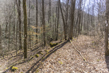
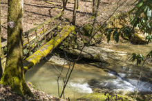
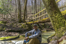
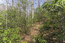
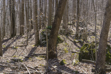
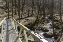
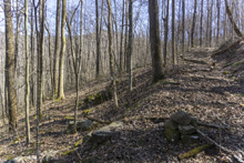
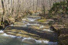
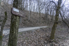
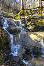
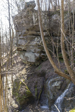
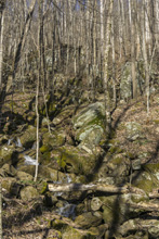
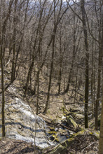
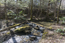
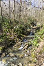
- Description: Overall, this was the highlight of the entire Cross and Anderson Mtn section for me. I hiked it from the Norma Rd side, crossing Tower Rd on my descent at the end, so I will pick up my description from the summit heading downhill. From the parking, walk down the road 400 feet or so to the not well marked trail descending the hill. The trail is steep. Super steep. But wonderful I thought. You generally follow the headwaters of Duncan Branch as it cascades down the hill, picking up feeders and growing in strength. The trail is hard to find a few times due to the rocky nature of the descent, but it all funnels the same place. Eventually you will cross the creek and it begins to get a little flatter after 1.5 miles from the road. Then 3 miles after the descent started, you get on a ridge and the trail is mostly flat which is a great relief for your knees and ankles. You will break off to the left at a well marked spot to side step some private proerty and this kicks you out on a gravel road with a bridge over the creek, the trail is to the right before the bridge and quickly crosses the creek. It then begins to descend steeply again around large cascade in the creek. Before finally leaving the splendor behind with a side hill that quickly leads you down to a kiosk and the train tracks. Drop down to the tracks, cross them, and turn right for 100 yards. The sign is small, but hard to miss if you are looking, drop left down to the road. Cross the road (hwy 63) and follow the trail 100 yards to the bridge over Cove Creek, mile 3. You then follow the highway, with it roaring above you before eventually crossing under the freeway and then hitting the Cove Lake sections junction, turn right and quickly hit the parking area.


HTML Comment Box is loading comments...
A Wet State - Home Page
