
Laurel-Snow Segment
| Section | Sub-section | Miles | Elevation Gain West to East (ft) |
Elevation Gain East to West (ft) |
GPX File (Right click, save as) | AllTrails Link |
| McGill Creek | Leggitt Rd to Roaring Creek Trialhead (Does not exist currently) | - | - | - | - | - |
| Leggitt Rd to McGill Creek Waterfall (Does not exist currently) | - | - | ||||
| McGill Creek Waterfalls to Roaring Creek Trailhead | 3.5 | 520 | 450 | Link | Page | |
| Graysville RMA | Full Section | 9.3 | 1,630 | 890 | Link | Page |
| Roaring Creek Trailhead to Gilbreath Creek Access | 5.0 | 1,090 | 380 | Link | Page | |
| Gillbreath Creek Access to TN-30 | 4.3 | 610 | 580 | Link | Page | |
| Laurel Snow State Natural Area | - | - | - | - | - | - |
| Richland Creek | 1.9 | 320 | 40 | Link | Page | |
| Henderson Creek (Not created yet) | TBD | TBD | TBD | - | - | |
| Upland (Not created yet) | TBD | TBD | TBD | - | - | |
| Laurel Snow SNA Spurs | - | - | - | - | - | - |
| Laurel Falls Base | 2.5 (from TH, 1-way) | 650 | 80 | Link | Page | |
| Laurel Falls Overlooks | 3.5 (from TH, 1-way) | 900 | 140 | Link | Page | |
| Buzzard Point Overlook & Snow Falls | 10.5(from TH, round-trip) | 1,260 | 170 | Link | Page |
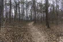
McGill Creek - Leggitt Rd to Roaring Creek Trailhead
- Stars: TBD - Not Complete
Leggitt Rd Trailhead to McGill Waterfall (Not Finished)
- Stars: This section does not yet exist. But when I hiked the other side of it I was told it is 1 mile from being completed through to Leggitt, though it is flagged so some people are still hiking it despite not being complete/open yet.
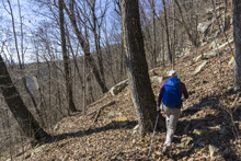
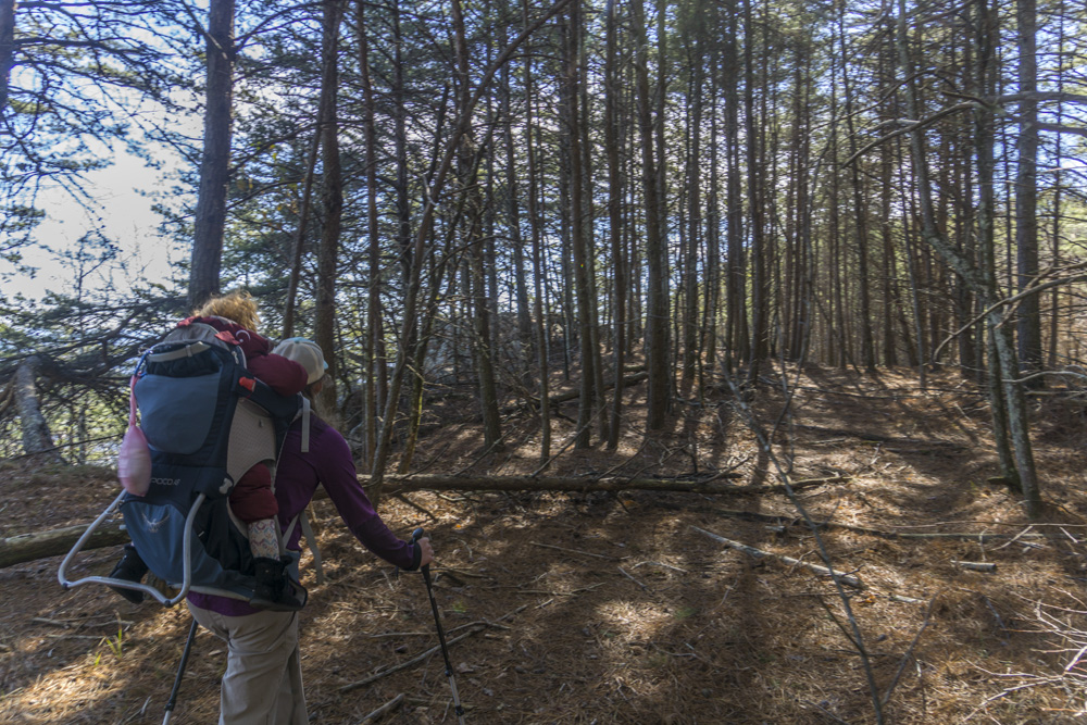
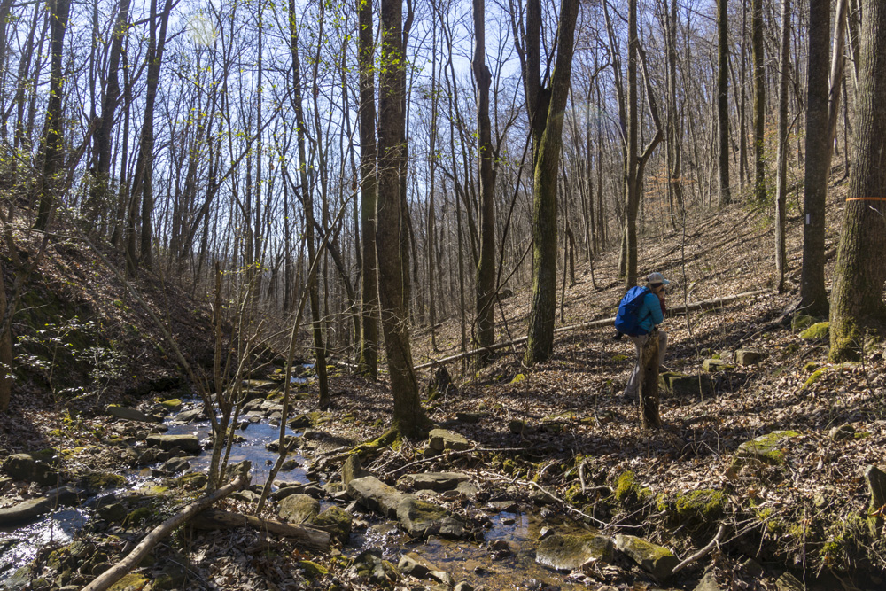
Roaring Creek Trailhead to McGill Waterfall
- Stars: ★ ☆ ☆
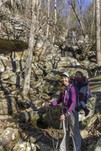
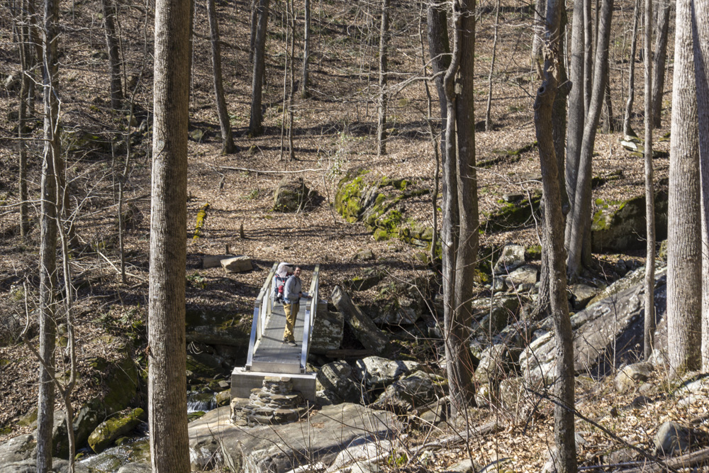
- Access: A nice large parking area (Location: 35.45935, -85.10507). To access the McGill side, walk out the back of the parking area on the old railgrade beyond the gate. Within 100 ft, look for the trail departing on the left. Its goes back out to the road just before the bridge, you road walk the bridge, and immediatly turn right back onto the trail. Note, there is also room for one car where the trail crosses Brayton Mountain Rd (Location: 35.4486, -85.10749). I am sure this is frowned upon, but it would save you a mile if you required. And would only miss out on one brief section of worthwhile trail in the first quarter mile of trail from road at the start.
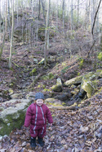
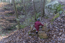
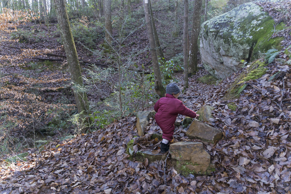
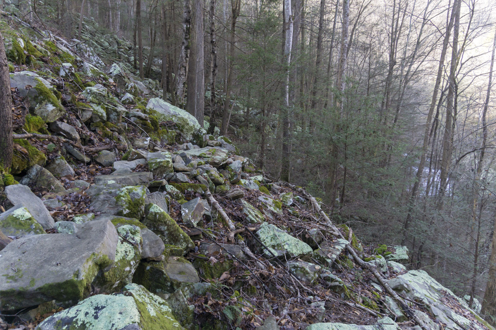
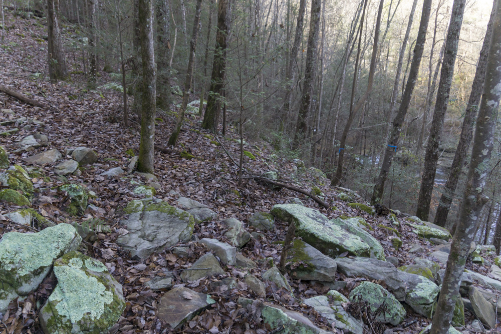
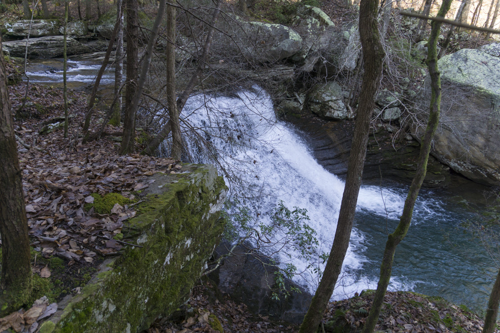
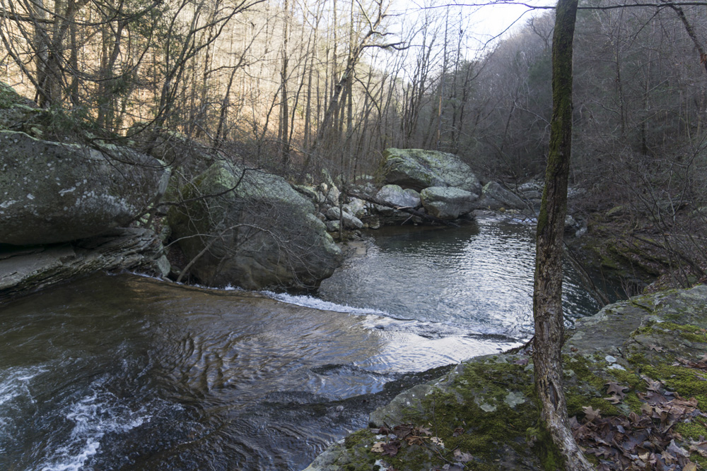
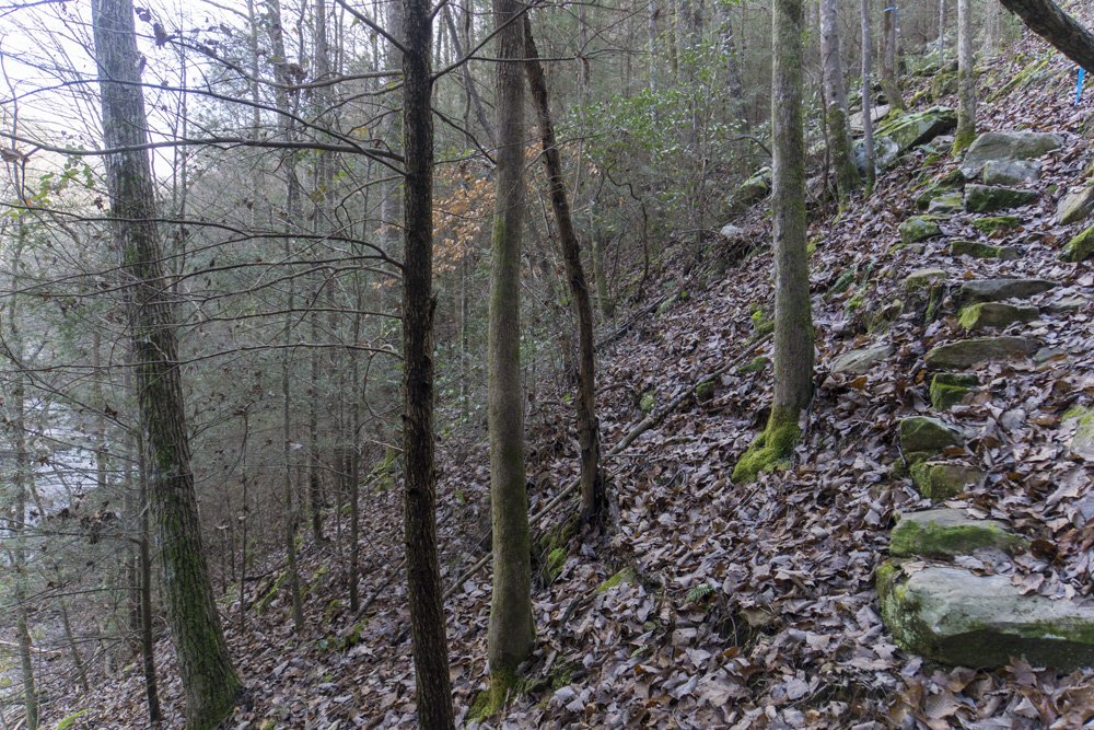
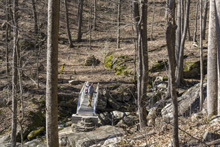
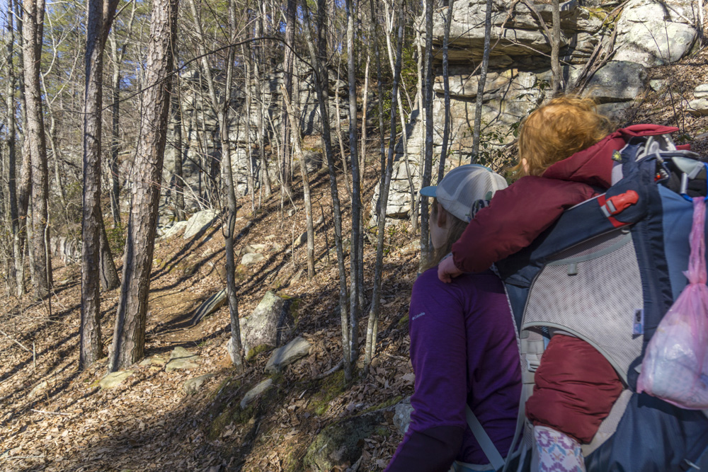
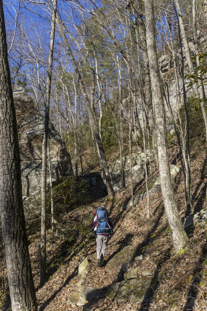
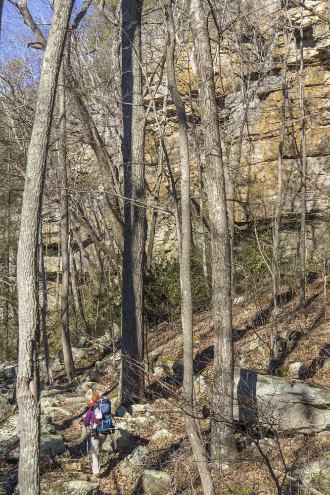
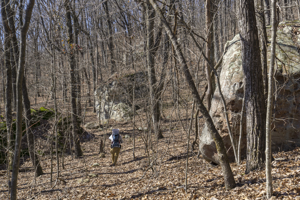
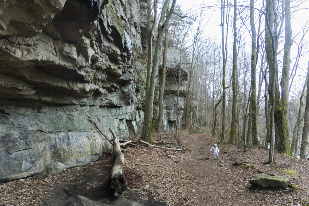
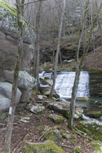
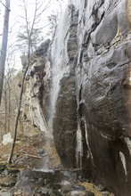
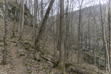
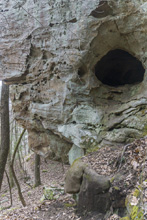
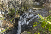
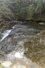
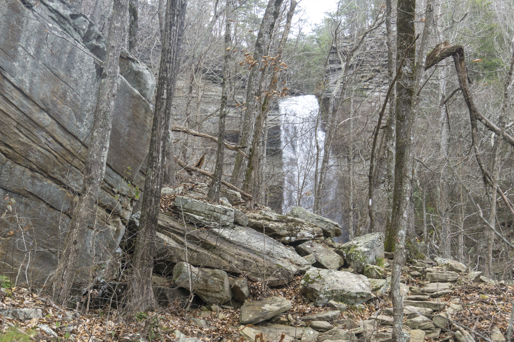
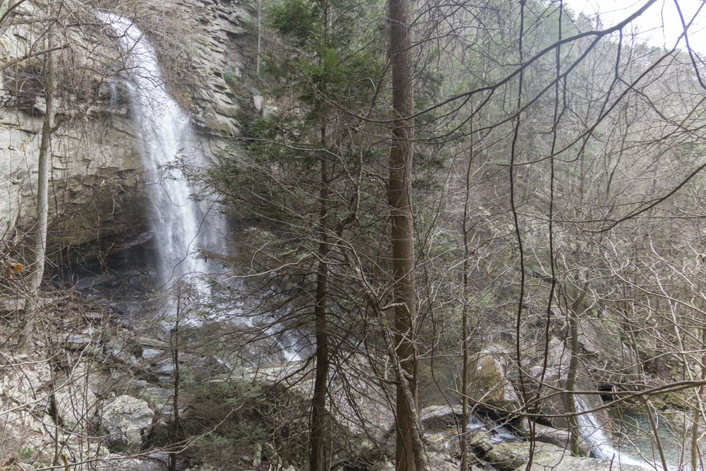
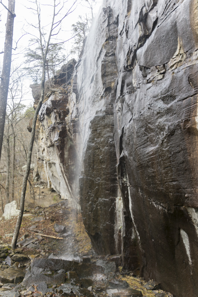
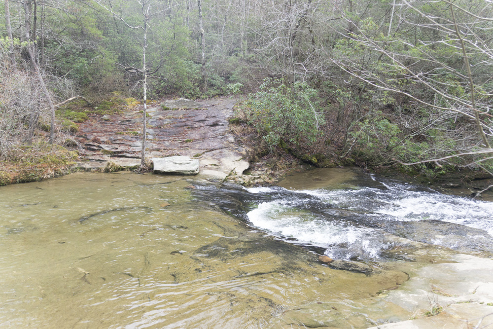
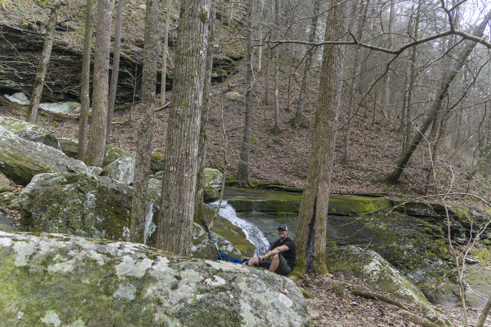
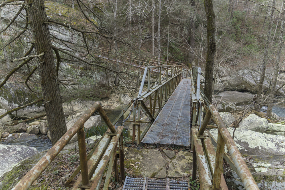
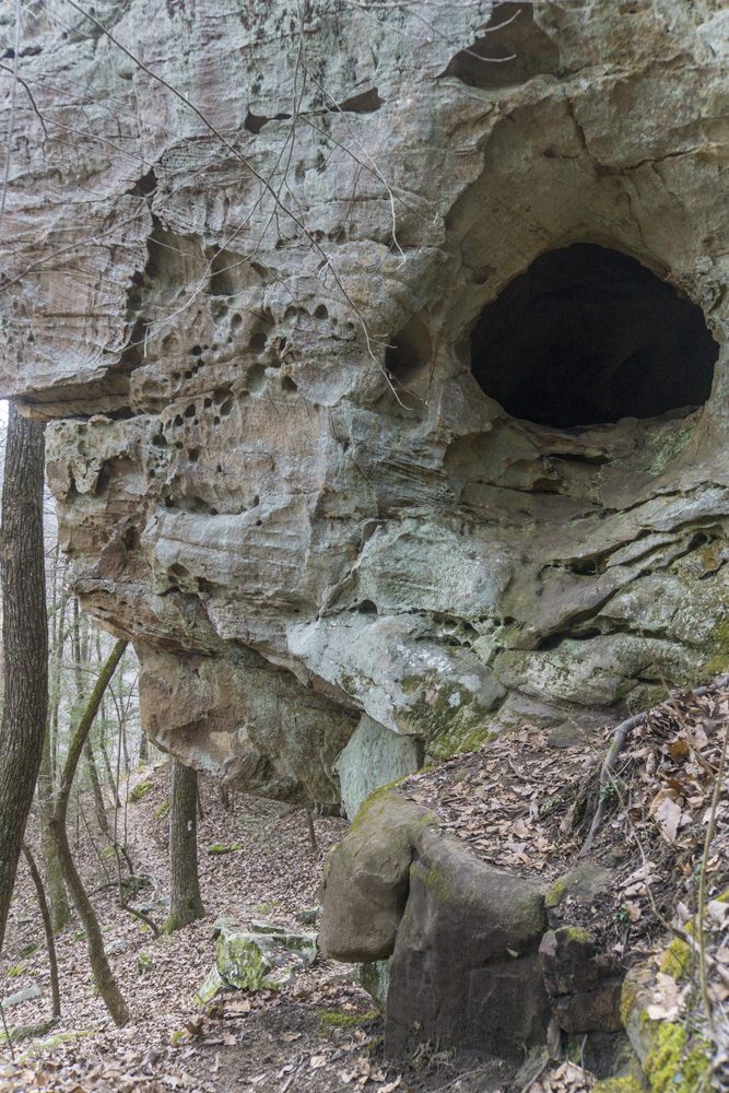
- Description: Once you leave the road and get on the trail, you are quickly greeted with the nicest section of the entire trail. You climb and cross a small creek which cascades down the hill side, making a protected gully which is lined by large rocks and small bluffs. But, then you quickly leave that area and begin to travers the side of Walden's Ridge, with Brayton Mountain Rd below you and above you as you approach the crossing of the road. Next time, I think I will park here to cut down 1 mile and 300 ft of climbing. Once you cross the road, look to the left for the trail which departs the old dirt road quickly. You now have open views of clear cut forest on the far side of the small valley. You eventually wonder down the hill, joining old roadbeds briefly on multiple occasions, until you get down to McGill Creek itself. Note that when you are about 20 feet of vertical from the creek level, look for a very sharp left turn to stay on the trail. I missed this and then had to jump a small drainage when I saw blue flags leading into the weeds towards the main creek itself where I found the much more obvious Cumberland Trail again. Hike a short ways up the creek to a nice metal bridge to cross McGill at (mile 2.4). From here, the trail gets more technical as it climbs and drops steeply along a steep hill side, on stone steps which are occasionally though large boulder fields. Some of the steps are solid, some are not. Around mile 2.9 look for the spur which drops steeply and quickly down to the waterfall. Its a pretty waterfall for sure. Being a kayaker, I also knew that just upstreamm are some impressive cascades so I walked along the creek upstream another 0.1 miles to see them. For that final part, there is not trail and it would not be possible after heavy rain as you would be in the water. For me, the highlight is the very first section, and then the final half mile after the bridge. The rest of the section is fairly bland. But, I imagine once you can go all the way to Leggitt that bland part will be minor in comparison to the rest of the trail which will make it all more worthwhile. But right now, hiking the bland part twice as an out and back was just a little dissapointing.


- Stars: This section does not yet exist. But when I hiked the other side of it I was told it is 1 mile from being completed through to Leggitt, though it is flagged so some people are still hiking it despite not being complete/open yet.


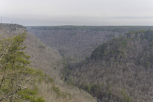
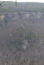
Graysville RMA
- Stars: ★ ★ ☆
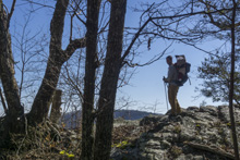
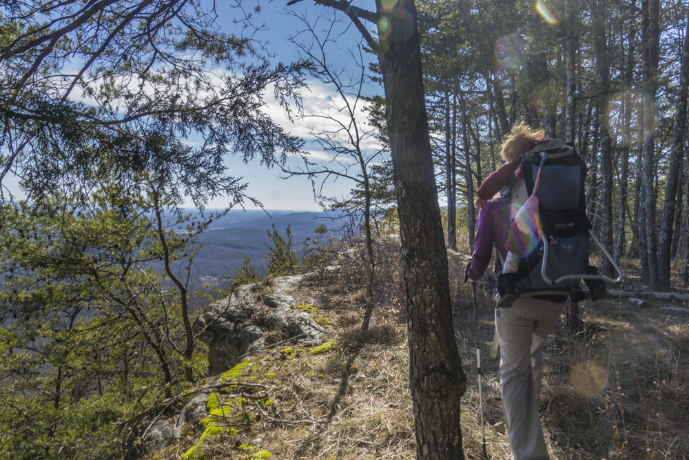
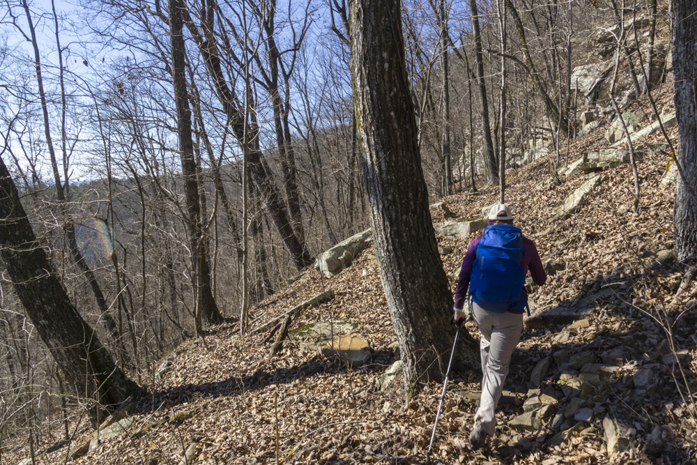
Roaring Creek Trailhead to Gillbreath Creek Access
- Stars: ★ ★ ★
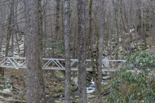
- Access: The Roaring Creek trailhead is a nice large parking area (Location: 35.45935, -85.10507). To access the trail, depart from the back of the parking lot and pass through the gate. Stay heading up river level, do not turn left toward the McGill Creek section of trail. I have yet to access the Gillbreath/Dogwood parking so I can't speak to it (Location: 35.49608, -85.08573) but I did see the blue marked trail coming down the left side of the creek directly to the bridge and I believe it to be a quarter mile connector, steep going up it if you are ending here.
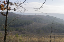
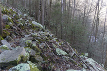
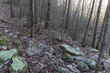
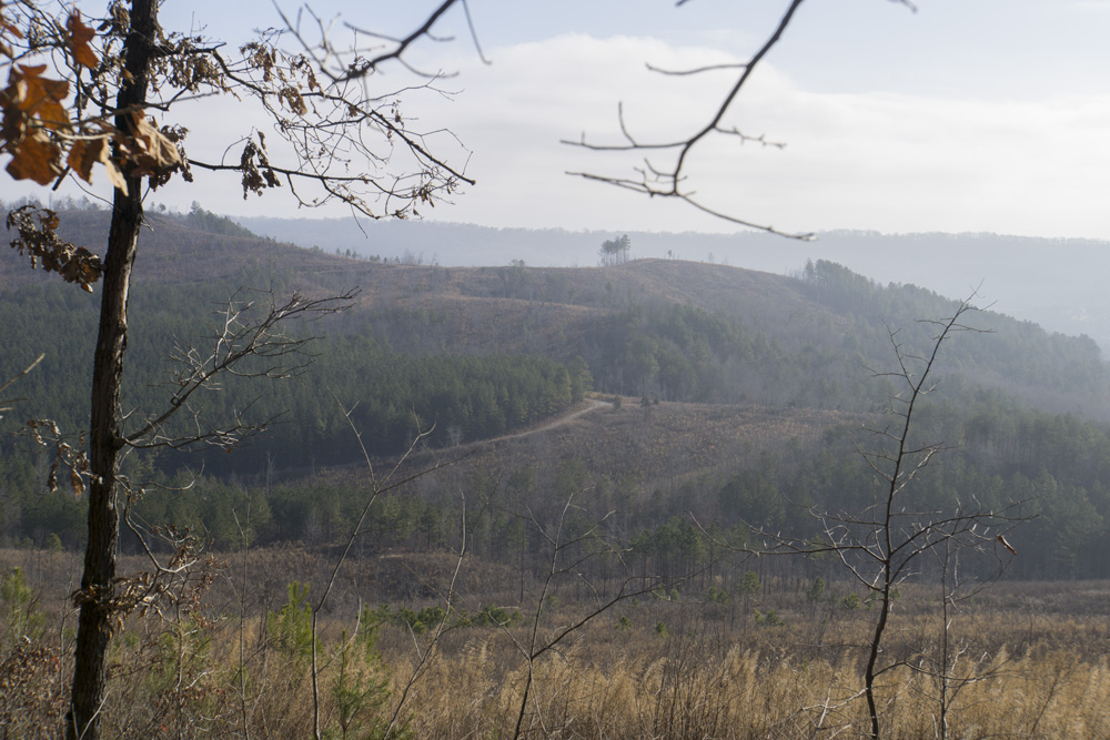
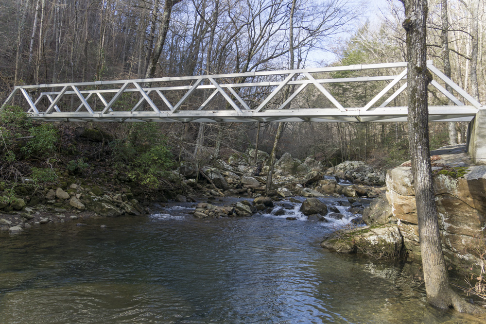
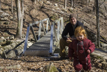
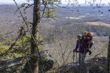
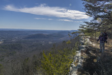
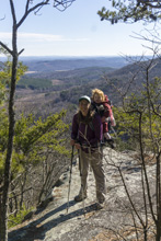
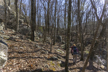
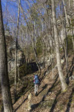
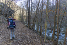
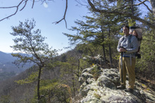
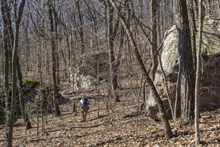
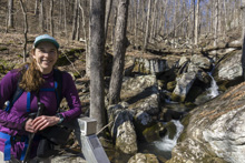
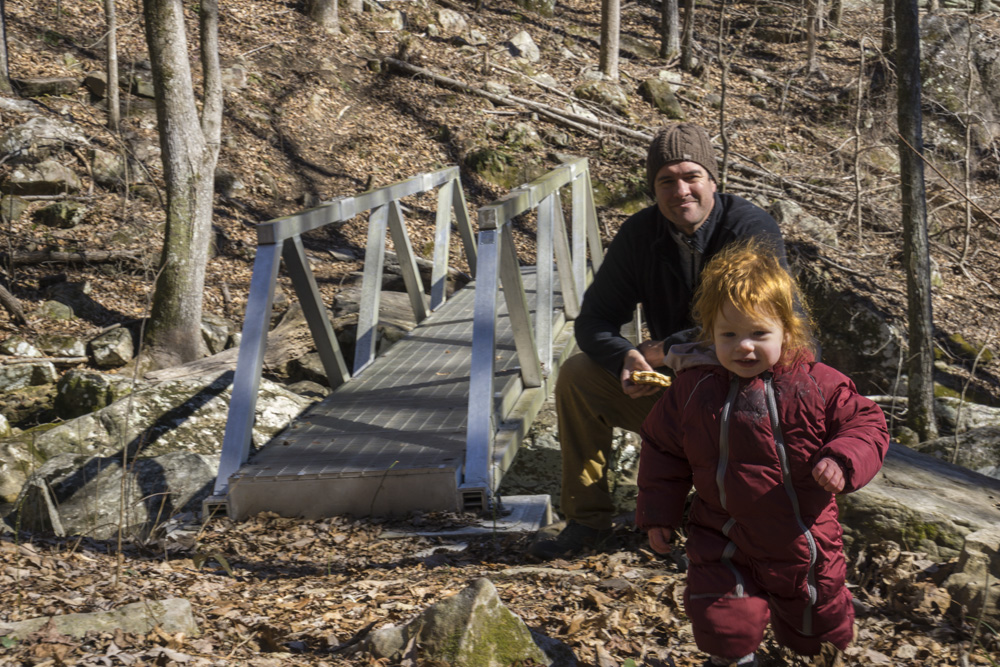
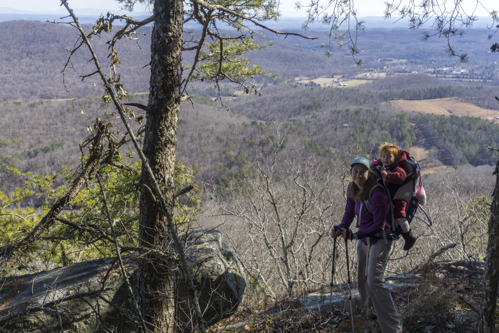
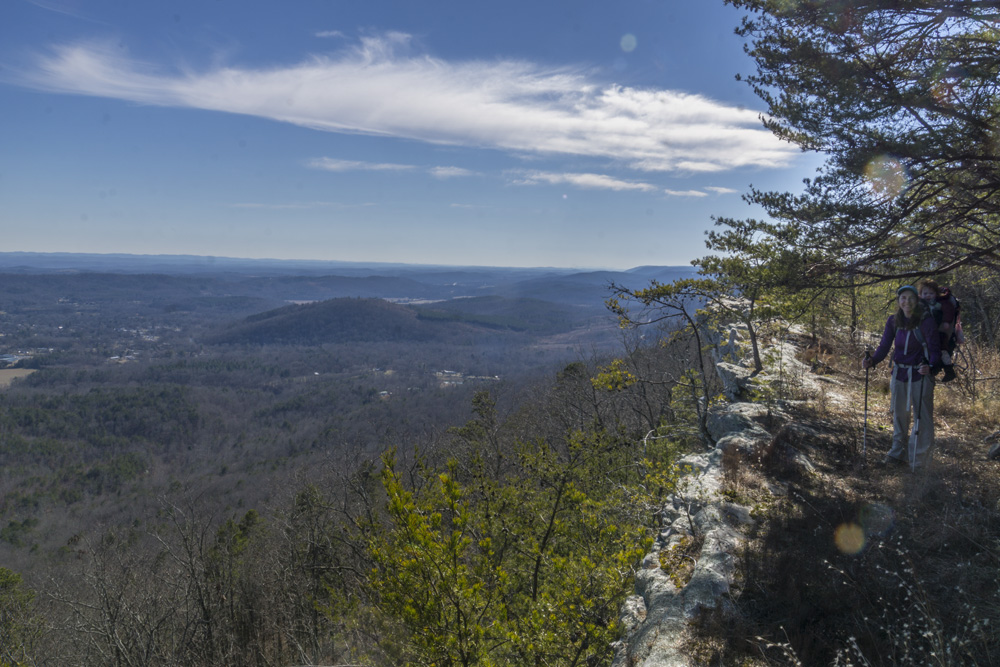
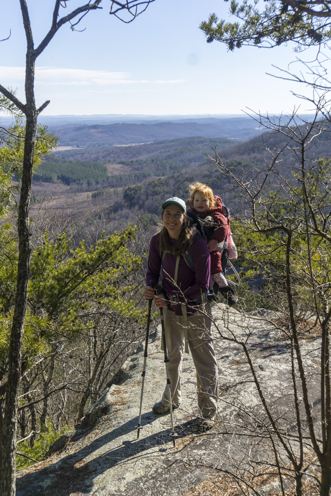
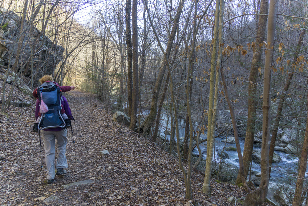
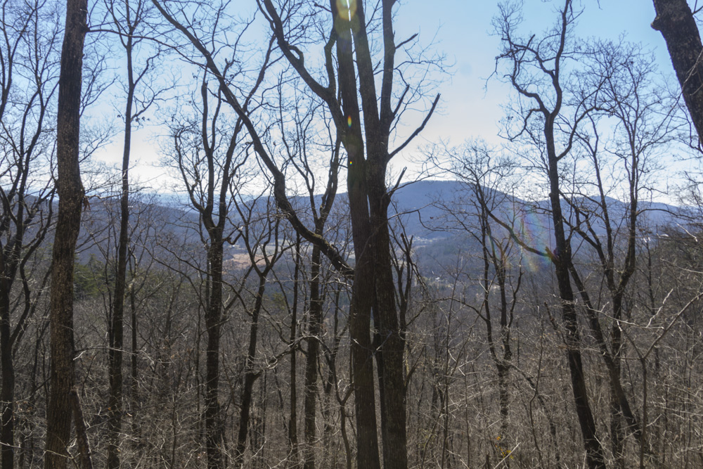
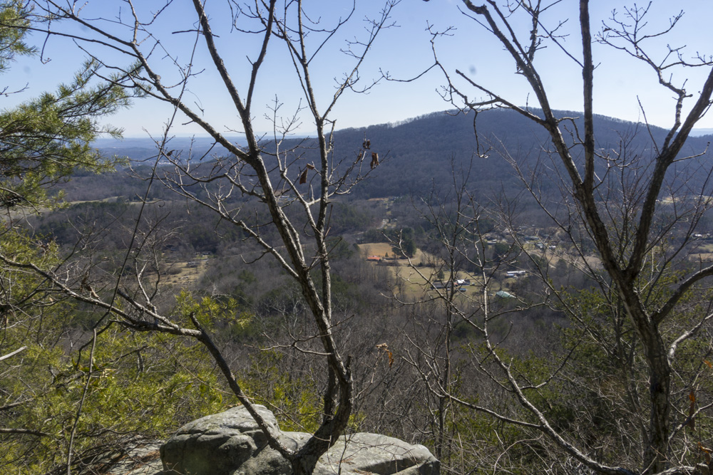
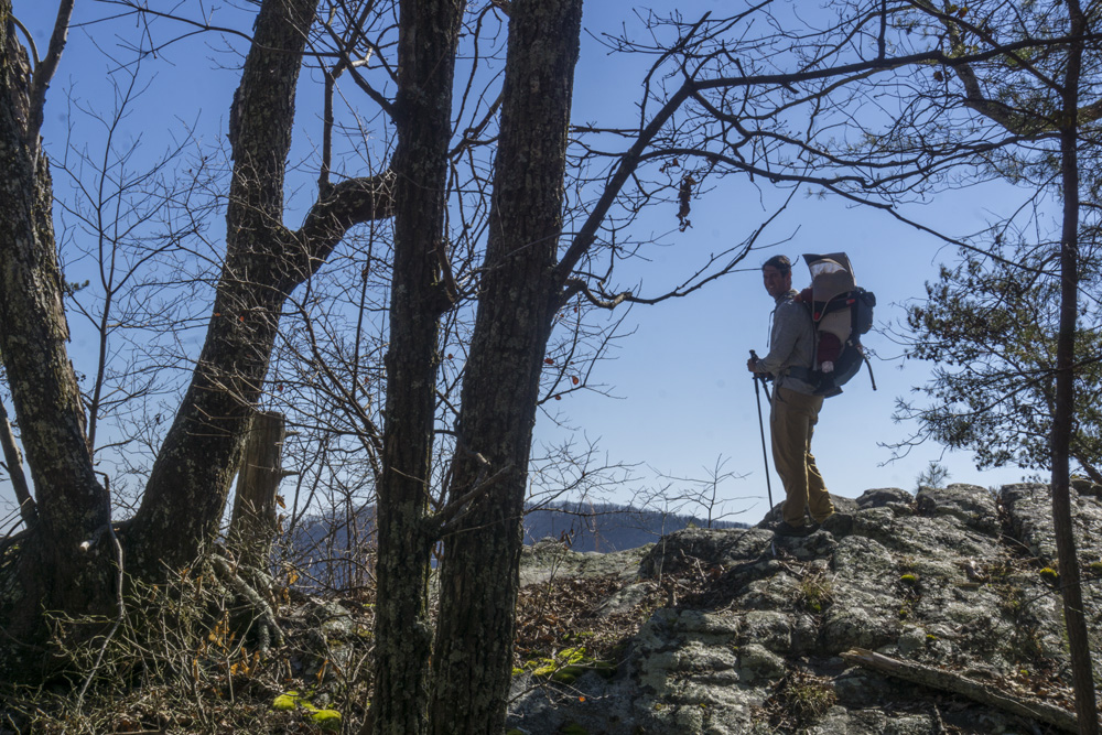
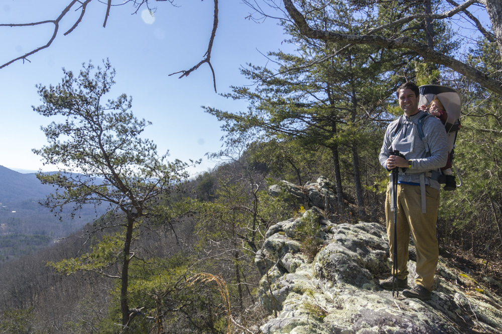
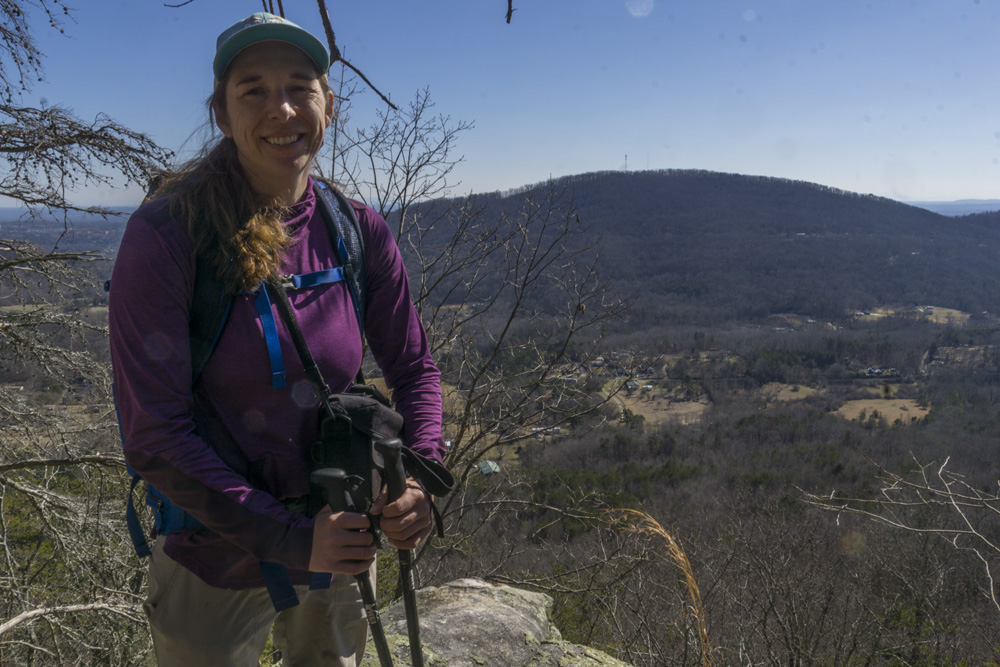
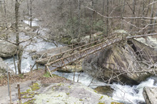
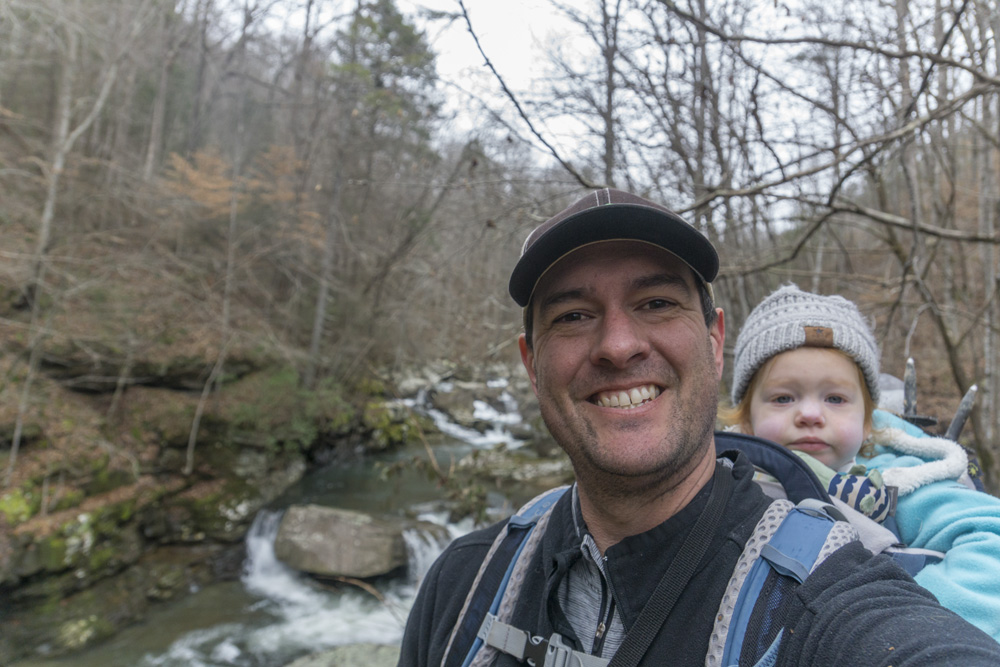
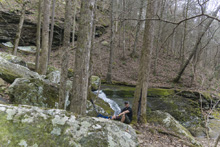
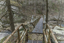
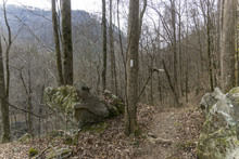
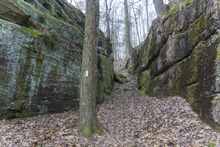
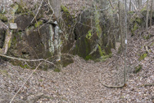
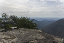
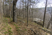
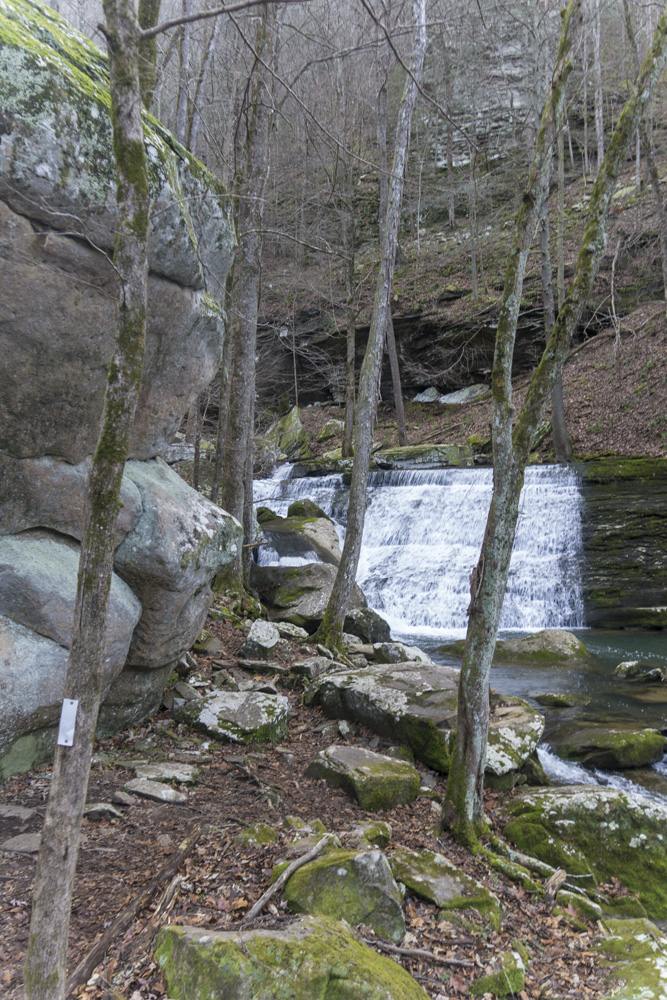
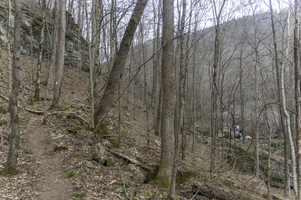
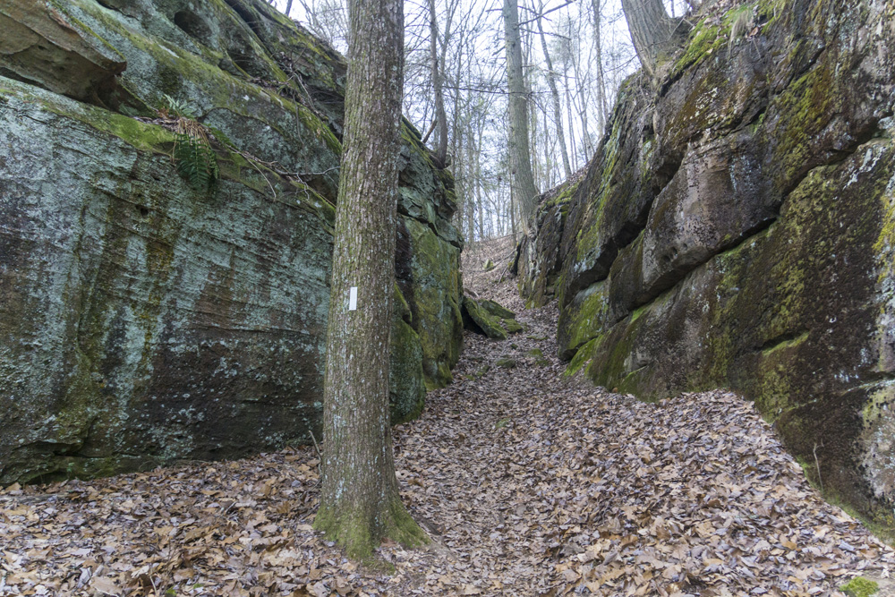
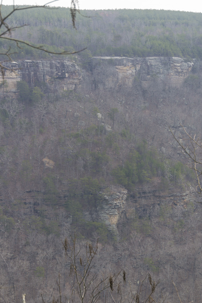
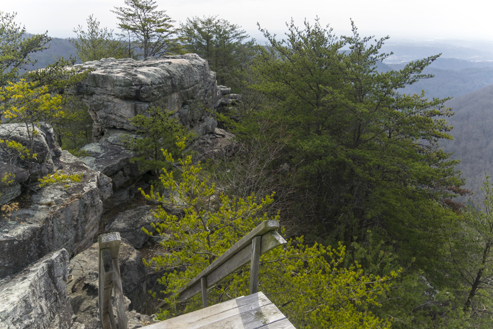
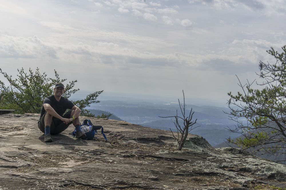
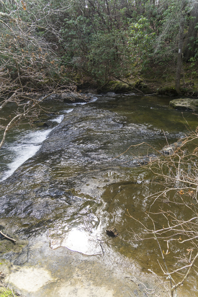
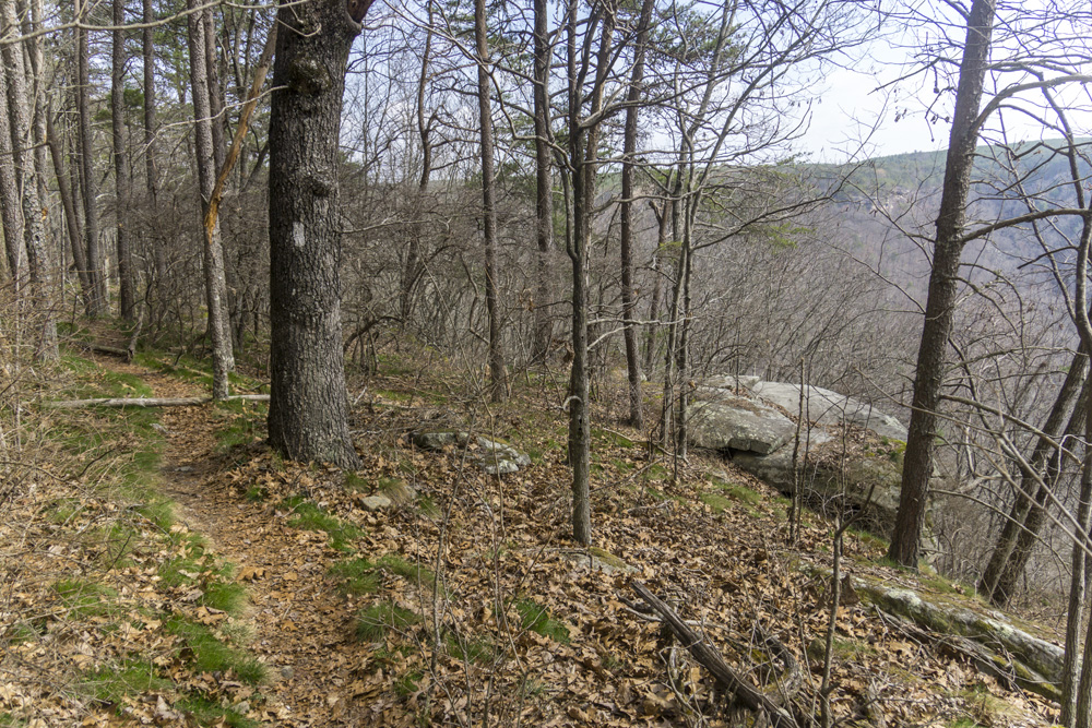
- Description: Simply a fantastic section of trail. It really has it all. Numerous overlooks, trail walk along the cliff line, bluff lines to walk along the base of, boulder fields, cascading waterfalls, and a river walk. It is in my top 3 Cumberland Trail segments for sure. A real pleasure. We hiked it from the north (Highway30 to Gillbreath to Roaring) as a full section, so my mileage will be North to South. Hiking down Gillbreath Creek from the new parking area looked to be a steep descent a nice midsize creek that was pretty in its own right. The bridge is a nice sturdy bridge that is going no where anytime soon. As you cross the bridge and begin heading south you side hill with minimal elevation gain back out to the valley side of the mountain. We did get off trail here just after a rock field where the trail apparently bent left and we stayed straight on what appeared to be an old road. We saw we were drifting on the GPS and went easily though the woods to our left to quickly refind the trail. Here, you begin to get fantastic overlooks. We skipped a few that we could have scrambled to, one in particular when you first round the corner might be worth while as the view would be of the opposite of the creek which had very nice bluff formations in addition to the valley view. The main overlook in this section is obvious as you are walking along the cliff side more or less at that time, 1.6 miles past the bridge at Gillbreath Creek. This cornace of rock gives you a near 180 panorama of the valley and is for sure the highlight. Not too far past this you will will briefly join an old road grade before departing again, these junctions are well marked so no worries there. At mile 2.8 you get to a creek crossing, it is worth walking to the lip as it is a nice tall waterfall with bluff surroundings and a nice view. Just pas tthe crossing you can also go down to a rock jut and look at it from downstream though the view is obstructed. The last high overlook is at mile 3.0, just before you turn to begin heading up Roaring Creek. After this you begin to descend, and are greeted by numerous wonderful boulder fields, bluff lines, and at 3.7 a nice cascading waterfall. At mile 4.0 make sure you turn sharp left to drop down to the river instead of staying straight towards Hell's Kitchen (a nice side hike to a wonderful rock garden, so I am told, though it is almost 2 miles from here each way). The trail quickly hits the old road grade and you have a mellow flat walk the rest of the way to the car. While the Hwy-30 to Gillbreath part is ok... from Gillbreath to Roaring was an absolute stunner. Top three favorite sections on the Cumberland. I highly recommend.


Gillbreath Creek Access to TN-30
- Stars: ★ ★ ☆
- Access: I have yet to access the Gillbreath/Dogwood parking so I can't speak to it (Location: 35.49608, -85.08573) but I did see the blue marked trail coming down the left side of the creek directly to the bridge and I believe it to be a quarter mile connector, steep going up it if you are ending here. On the North East end, the trail does not have an output that is arranged currently. So for now, you must turn back as an out and back. We got permission from land owners to access it on their land. But the permanent access should be available somewhat soon (2021) so I believe.
- Description: Officially the trail does not have a northern trailhead as of now (2021) though I understand the land has been bought and the trail is only a short distrance from the end point so it should be done "soon" I imagine. We asked for permission from a landowner and were granted it, to access the trail via their property. So, yea. So even though we hiked this North to South, I am going to give the mileage South to North since there is no legal way to access on the North, you will most likely be coming from the South. Coming from Gillbreath Creek you can access it via a quarter mile steep blue flagged trail down the creek which comes out right at the bridge over the creek. Once on the CT, turn left and head around the creek's canyon edge at near even elevation. At mile 2.2 you get to a nice overlook which is the highlight of this section. The downfall and greenbriar is plentiful in the second half of this trail which was part of why I walked away with a 2- star impression of it. At mile 3.4 you get to a decent bluff line before you turn up and descend to Sale Creek. The crossing is simply rock hoping over this microcreek. The trail then goes down the otherside of the creek to wrap around the hill side and ends, to be connected to the trailhead once the trailhead is built.


- Stars: ★ ★ ★


Laurel-Snow Natural Area
- Stars: ★ ★ ★
Richland Creek
- Stars: ★ ★ ★
- Access: All the trails and spurs within Laurel-Snow start from the same trailhead (Location: 35.52636, -85.0219). This is a very popular spot and on a nice day the parking will fill up quick and people will park along shoulders back along the road.
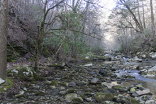
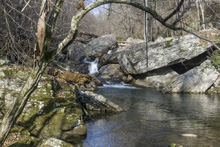
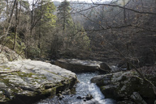
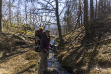
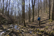
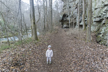
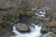
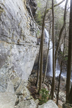
- Description: Looking for a mellow walk along a river, with a few bluffs, and some nice rock climbing features? This is a classic. The first half of the hike is an old rail grade. Quickly you get to Paine Creek and cross it, make sure to look up it to see the huge cascade it makes as it tumbles down into the river. You then pass an old tunnel from a mine. Continue up the river, looking at the beautiful rapids and river walls. At mile 1.4 you pull away from the river and the trail is briefly confusing due to people cutting switch backs. Just know you contiune heading up river. At mile 1.8 you will cross Laurel Creek. You can continue another 0.4 miles to where you cross Richland Creek for some added mileage if so desired.


- Stars: ★ ★ ★


Laurel-Snow Spurs
- Stars: ★ ★ ★
Laurel Falls Base
- Stars: ★ ★ ★
- Access: All the trails and spurs within Laurel-Snow start from the same trailhead (Location: 35.52636, -85.0219). This is a very popular spot and on a nice day the parking will fill up quick and people will park along shoulders back along the road.
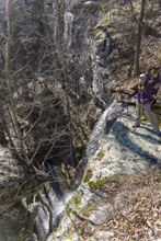
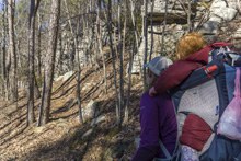
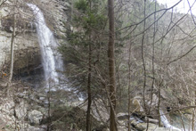
- Description: It seems this variation is the most popular hike in the area. When I did the falls I would say 75% of the people went this way rather than Snow Falls (Snow is longer), and 75% of those people turned around at the base of the falls. Once you pull up from Richland Creek after crossing the bridge over Laurel Falls at mile 1.9, you quickly get to a nice small waterfall along Laurel Creek. The rocks here are immense and soon you get to a small rock tunnel to climb through. I had Aster on my back, so I backtracked 100 ft and found a mellow way up to the trail beyond the tunnel as the tunnel was not baby carrier on back friendly. The switch backs get steep beyond here and you keep going until you get to the falls. It gets really rocky if you want to work your way to the water level itself.
Laurel Falls Top and Overlooks
- Stars: ★ ★ ☆
- Access: All the trails and spurs within Laurel-Snow start from the same trailhead (Location: 35.52636, -85.0219). This is a very popular spot and on a nice day the parking will fill up quick and people will park along shoulders back along the road.
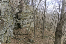
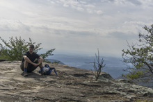
- Description: From the base of the falls, look for the trail the cuts back and climbs up to the bluff line's base. There were a lot of rock climbers out the day I was there. Work along the base and you will come to a gap in the wall that is the only way up. It is a steep climb that is a fun adventure, I was able to do it with Aster, but some certainly may not be comfortable with this and turn back. Once on top, there is a campsite, and you can walk across the bluff's edge and eventually up the creek above the falls. You will then come to a creek crossing (just 100 yards above the falls), I stopped here as it was 30 degrees, I would have had to have gone barefoot as it was too deep, and it was cold so I didn't want that... but also more importantly, I was solo and had Aster on my back and I didn't feel comfortable with the risk though it was admittidly low risk. Once on the other side though you walk the bluff line back out towards Richland Creek. I was told though from some friends that have done it that the views were not as good as expected as they were not open views without trees.

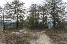
Buzzard Point Overlook & Snow Falls
- Stars: ★ ★ ★
- Access: All the trails and spurs within Laurel-Snow start from the same trailhead (Location: 35.52636, -85.0219). This is a very popular spot and on a nice day the parking will fill up quick and people will park along shoulders back along the road.
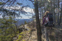
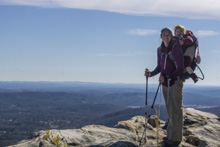
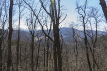
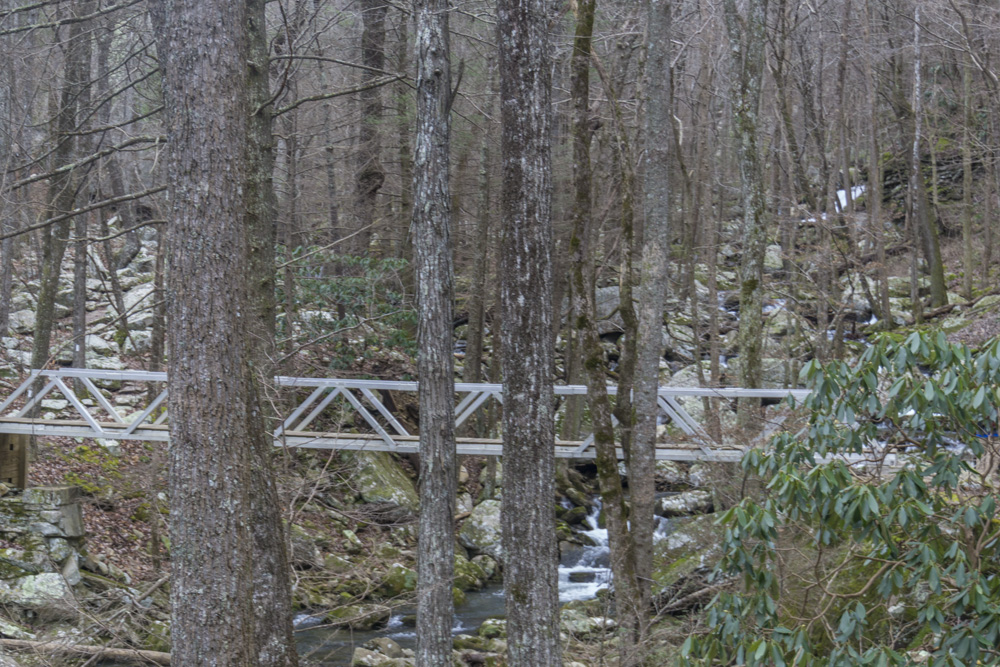
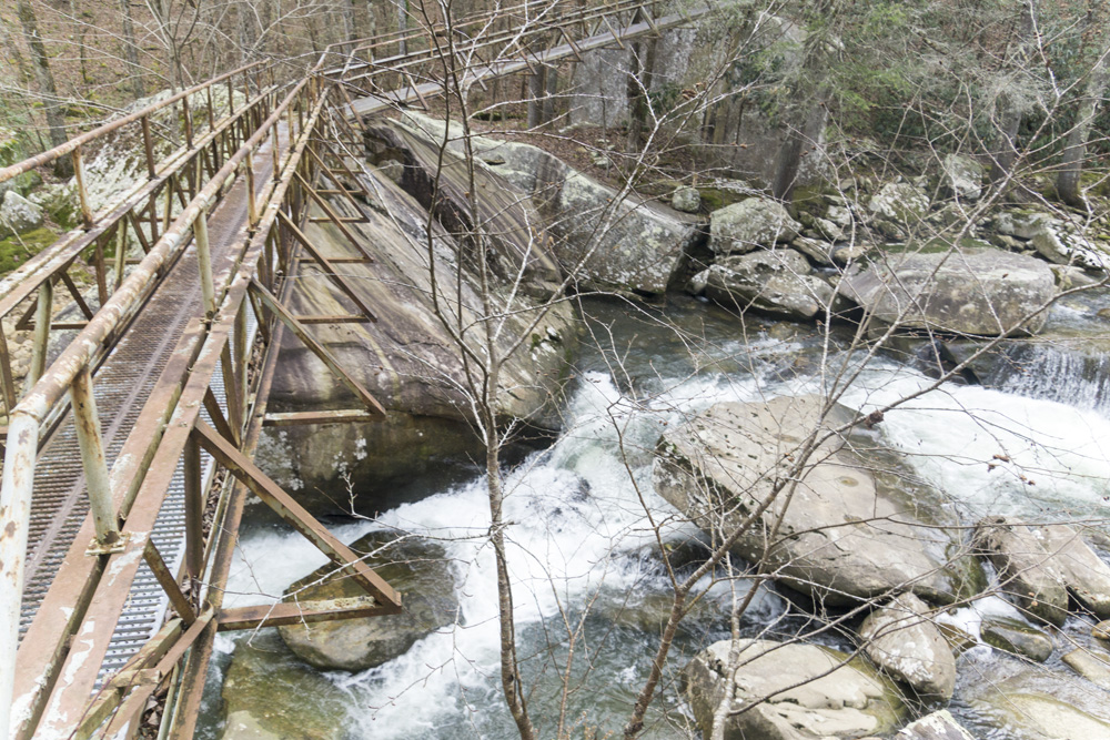
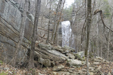
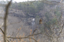
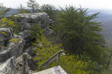
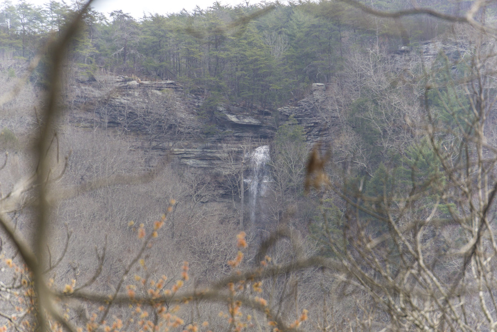
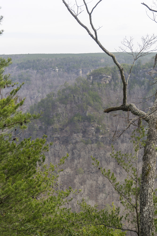
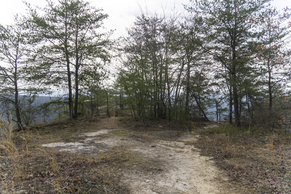
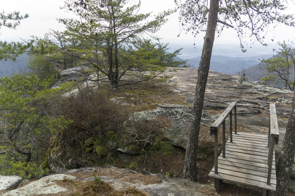
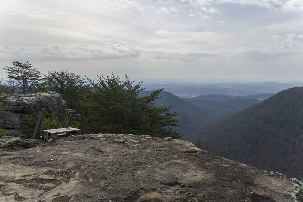
- Description: First note, the 3 stars is more for Buzzard Overlook, that is just spectacular as an end point. I would rate the hike to Snow Falls as a lone destination as 2 stars as that falls is just a little underwhelming, especially compared to Laurel Falls across the canyon. Second Note that this section has variability in its length based on how you approach the falls and the overlooks and what route you take down. It will typically be around 10.5 miles round trip. OK, so on with the description... 1.5 miles from the trailhead you will cross a bridge and hit a junction, stay left to Snow Falls (right is Laurel Falls) and continue another 0.4 miles to a triple metal bridge over Henderson Creek. You then head downriver until you are across the river from Laurel Creek. If the creek is low, you could potentially cross the creek at the campground and you would not trample any nature. This would cut of 0.8 miles both directions, if that is what you needed to make it so you wanted to do this hike or were short on time. But of course, crossing a river should not be done any time the creek has flow in it. Once across from Laurel Creek, the trail begins to climb. I found the climb to be much better graded than Laurel Falls side and it made for an easy 1.5 mile climb to the top. At the top you will go through a narrow rock passage and then see three trails. The one to the left hooks around and picks up the cut off that is the straight path, and hits the road where a sign points you left to Buzzard Point, or a right turn will take you to Snow Falls, more on that later. To the right at the triple junction, is the trail along the rim which goes towards Snow Falls. OK, so lets start with Buzzard Point, turn left on the old dirt road for the flat half mile walk out to the point. The viewpoint is spectacular. There are some wooden ladders that descend and go out to the tip of the point but for me, alone, and afriad of heights, I did not go out there as it was super exposed and the ladders seemed less than superb. The view from where everyone can enjoy was three star by itself though, and could be done as an 8 mile out and back which is much more appealing to people than the 10.5 mile Buzzard Pointand Snow Falls hike distance. OK, so now backtrack down the road a half mile to the junction. I hiked the road up to where the trail crosses 0.7 miles up the road. This allowed me to follow a small footpath to the river left side of the falls. I had hoped to find a way to cross the creek and do this as a lolipop, but, the creek is super walled out and I could not descend to creek level. So I backtracked to the road and continued up to the trail. Note, in the future, I would hike the trail North and the Road south, the trail had good canyon views going north but was forgettable going south and the road was much quicker. So anyways, back to the road and trail junction on the north end. If you are on the road going north, then you see a gate look for the trail crossing and white blazes. This is you. One large footpath junction comes in after 0.1 miles or so on the right, stay left. It was pink flagged. This then takes you down to the creek. You must cross on the rock ridge of a small ledge that is in the water. It is slippery and will have water if it is the winter months or after a storm. On the other side, the creek climbs a short ridge and then drops you down to the waterfall on the other side. For me, as a kayaker, this waterfall was more just a rocky rapid that I would likely portage. It was some 20 ft tall, but with all the waterfalls and rapids I have seen it just did not pack the punch I had hoped for. Therefore for me, Buzzard Point was by far the more memorable take away from this hike. From here, turn around and go back the way you came back down to the bottom of the trail.


- Stars: ★ ★ ★


HTML Comment Box is loading comments...
A Wet State - Home Page