Grassy Cove Segment
| Section | Sub-section | Miles | Elevation Gain West to East (ft) |
Elevation Gain East to West (ft) |
GPX File (Right click, save as) | AllTrails Link |
| Brady Mountain | 8.3 | 1,260 | 1,630 | Link | Page | |
| Happy Top to Brady Bluff Overlook | 5.9 | 1,110 | 650 | Link | Page | |
| Highway 68 to Brady Bluff Overlook | 2.4 | 980 | 150 | Link | Page | |
| Black Mountain | Full Section | 13.2 | 2,254 | 2,434 | Link | Page |
| Highway 68 to Black Mountain Trailhead | 3.9 | 1,240 | 230 | Link | Page | |
| Black Mountain Loop | 2.1 | 266 | 266 | Link | Page | |
| Black Mountain "Below the Bluff" | 0.7 | 72 | 118 | Link | Page | |
| Black Mountain Trailhead to Ozone Falls Base | 8.2 | 860 | 2,018 | Link | Page | |
| Ozone Falls | - | - | - | - | - | - |
| Ozone Falls Bottom Trail | 0.2 | 120 | 3 | Link | Page | |
| Ozone Falls Top Trail | 0.1 | 0 | 56 | Link | Page |
Brady Mountain
- Stars: ★ ☆ ☆
Brady Mountain: Happy Top to Brady Bluff Overlook
- Stars: ★ ☆ ☆
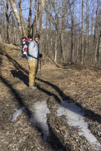
- Access: The temporary access is a shoulder along the rough dirt Happy Top Rd (Location: 35.79244, -84.97612). We were able to make it from TN-68 in our minivan, but it was border line and I think anyone who is not accustomed to driving rough dirt roads may not feel comfortable in non-4-wheel drive cars. The Highlander had no problem whatsoever with the road when we undid out shuttle. The road looked to get worse as it continued up the hill towards Hinch Rd, so be aware if you come in from that side it may be worse. Eventually apparently the access will be at the Head of the Sequatchie Ranger Station.
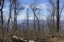
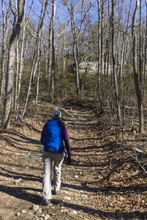
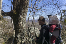
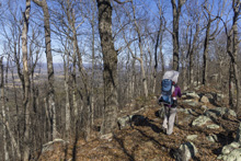
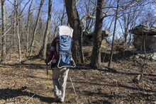
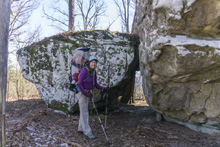
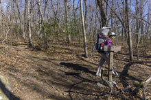
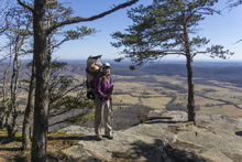
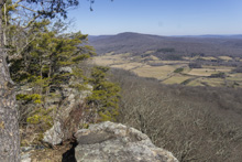
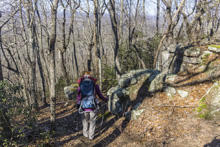
- Description: This honestly may be my least favorite section of the CT that I have done thus far. From the get go, the trail is underwhelming. The start is along a rough dirt road, and is marked by a wooden waste high "gate" that marks what would otherwise be a very misable trail that is badly overgrown and in 2021, had trees down right at the beginning, hiding the trail's presence from the road. On the trail, the first 0.8 miles has a few poorly marked spots, but just continue the errosion line, old road bed, or path of least resistance and you will stay on trail. Eventually, you crest just East of Duston Knob and get to a road clearing. Here, it is like a 4 way stop. Cross the bigger road, but do not drop down the other side, instead, look to the left for a lone faded marker and a badly overgrown trail heading left up the mountain. This turns into a road. In a short distance you will come to a fork with a blaze in the middle, stay left (who puts a blaze in the middle of the fork?). This road gets steep and eventually comes out at another road, turn left here for 100 feet before turning right and finishing the climb up to the ridge line. Honestly, the trace saved us throughout this part. Once on the ridge, it is all much much easier as the next several miles are all on the ridgeline road. The overgrown nature, plentiful roads, poorly marked indicators, and lack of interesting scenery is why I rate this trail so badly. But, do note at mile 1.9 you will come to your first interesting rock formations and there is a spur here to Donnely Overlook. We did not visit this one but at least the rockyness brought something to the hike. Just before mile 4 we noticed some cairns and saw a small spur trail which we did do which was Lost Overlook. With the baby carrier we were unable to drop down and climb out onto the rock precipice that would have offered the best viewpoint. Soon, the trail turns to single track and becomes more of a 2 star trail. Some nice rocks, nice ridgelines, and unstructed but wide-ranging views are allotted on both sides of the ridge. At mile 5.8 you will get to an overlook sign, do not skip this one as this is the main overlook and is very nice!
Brady Mountain: Highway 68 to Brady Bluff Overlook
- Stars: ★ ★ ☆
- Access: The trailhead on Highway 68 is not much more than a large turnout on the highway. The trail is on the same side of the highway as the turnout. (Location: 35.87014, -84.92971).
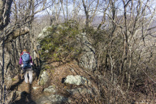
- Description: As is the story with Brady Mountain, much of this hike is on the road. From the road, climb an old dirt roadbed steeply up. This will eventually come over and around a small knoll and hit a dirt road intersection. Go leftish and you can either go straight up the hill via an ATV track or follow the trail which does a big switch back. Both get to the same spot on the top. Once on the ridge, the hike is single track and pleasant to the very well marked Overlook sign. This is the end of the hike. The next 1.5 miles to Lost Overlook is a worthwhile ridgeline to walk, though I do not recommend going past Lost Overlook and descening to Happy Top Rd unless due to its "meh" nature. See the description above.
- Stars: ★ ☆ ☆
Black Mountain
- Stars: ★ ★ ☆
Black Mountain: Highway 68 to Black Mountain Trailhead
- Stars: ★ ★ ☆
- Access: The trailhead on Highway 68 is not much more than a large turnout on the highway. To head towards Black Mountain, cross the freeway to the trail head. (Location: 35.87014, -84.92971).
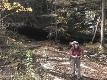
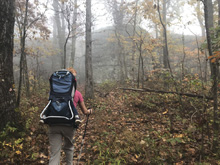
- Description: Once hiking, you follow the road for the first half mile before you start your first small climb. Thankfully, here, the noise of the highway begins to diminish. At mile 2, you have the option to take a short spur to a cave (which you are not allowed to access), its a pretty spot though. Continue and quickly hit the large climb that will fill the rest of the hike. The switch backs are moderatly graded for the most part and will take you right up to the base of the bluffs at the top of Black Mountain. While this hike is a pleasant enough stroll through the woods, it doesn't offer all that much else. The rocks and bluffs at the top of Black Mountain are spectacular though, which I why I gave the loop a 3 star rating. Note, to take the low "bottom of the bluff" route, turn right as soon as you get the wall. To head up top for the overlooks, go left into the large rocks. Look for the stairs that climb up on top of the ledge. I did find it a bit frustrating to put in the exercise in the climb and then having eveyone up there having driven to the top. I didn't even know there was a road to the top!
Black Mountain: Black Mountain Loop
- Stars: ★ ★ ★
- Access: Drive to the top of Black Mountain and park at the end of the road. (Location: 35.86808, -84.8875).
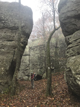
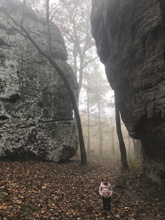
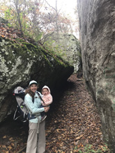
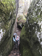
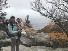
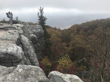
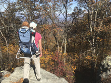
- Description: This is a very spectacular short hike that can be done by most anyone. But because of that, it is crowded. From the parking area you head west to the trail access. Make sure to check out the Southern Overlook as it is spectacular. I would also recommend descending the stairs to check out the rock canyon at the base of the stairs. If you return via the northern part of the loop, the other overlook disapoints compared to its southern sibling just so you know.
Black Mountain: Black Mountain "Below the Bluff"
- Stars: ★ ★ ★
- Access: Drive to the top of Black Mountain and park at the end of the road. (Location: 35.86808, -84.8875).
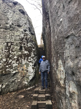
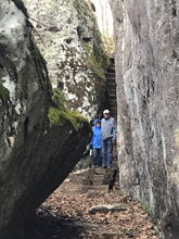
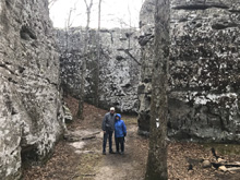
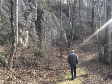
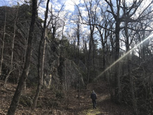
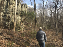
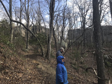
- Description: This is a short option to make a loop out of but is separate from the main "crest loop" but in my mind, the southern part of the crest loop and this make a far superior loop than doing the north section of the crest loop. To access the trail, from the parking area go down the paved path to the junction where the kiosk is. Going straight past the kiosk on the double wide trail takes you on this trail. From the other end, after you descend the stairs on, turn left through the hallway of massive rocks, and head away from the cliffline for 100-150 yards to the trail on the left that is only flagged (2021) but is well established. The trail is a wonderful walk through a rock garden of massive rocks. There is very little climbing either way to hike it, but combined with the South section of the crest loop and the overlook that section provides, it is a absolutely delightful short hike that totals in at 1.5 miles. In the middle of this short section the trail kinda appears to have a few forks, just stay "low" (AKA, away from the cliff line) to stay on the main trail.
Black Mountain & Ozone Falls: Black Mountain Trailhead to Ozone Falls Basek
- Stars: ★ ★ ☆
- Access: Drive to the top of Black Mountain and park at the end of the road. (Location: 35.86808, -84.8875).
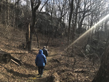
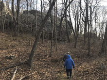
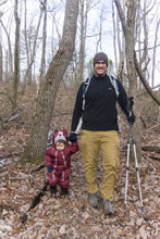
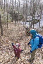
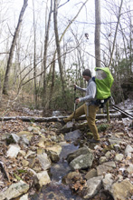
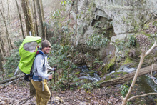
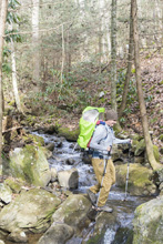
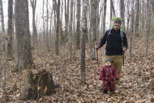
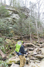
- Description: This hike is a nicer hike in the woods than the trail up Black Mountain from the west. This one, you have multiple nice creek crossings along with the walking in the woods aspect. Early on though you do have to navigate some old dirt roads which criss cross the trail for a few hundred yards. But really, that was the only downside of this hike. The highlight though is the final descent to Fall Creek at mile 7.2 where you descend bluff layers one at a time. Then you cross a footbridge and head up Fall Creek with the highway not far above you before you are finally deposited at the base of Ozone Falls, and are accompanied by the crowds that always keep that place busy. From the base of the falls, the trail to the road follows the wall up steepily.
- Stars: ★ ★ ☆
Ozone Falls
- Stars: ★ ★ ★
Ozone Falls: Ozone Falls Bottom Trail
- Stars: ★ ★ ★
- Access: Ozone Falls is located immediatly off of Highway 70, with parking on either side of the Freeway. (Location: 35.88151, -84.81017).
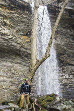
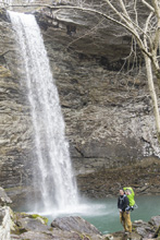
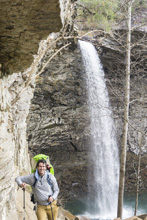
- Description: After walking down the highway 100 yards you will see a small gap which the trail descends, following the bluff line steeply and rockily down to the base of the falls. Some people in the warmer months choose to swim in the pool at the base of the falls. It is slick to get all the way down, but it is a pretty site for sure.
Ozone Falls: Ozone Falls Top Trail
- Stars: ★ ★ ☆
- Access: Ozone Falls is located immediatly off of Highway 70, with parking on either side of the Freeway. (Location: 35.88151, -84.81017).
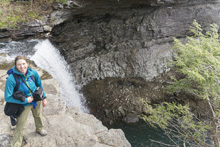
- Description: If you are unable to hike all the way to the base of the falls, fear not as there is a short and super mellow trail to the lip. From here you can test your vertigo by standing at the edge of the 110 foot waterfall lip. Note though that there are no railings and falling would be fatal. Also, do not play in the water above the falls, as that is just a stupid idea. Also of special note, kayakers have kayaked off this waterfall at least four times that I am aware of as of this writing (2021).
HTML Comment Box is loading comments... - Stars: ★ ★ ★
A Wet State - Home Page
