Cumberland Mountain Segment
| Section | Sub-section | Miles | Elevation Gain West to East (ft) |
Elevation Gain East to West (ft) |
GPX File (Right click, save as) | AllTrails Link |
| Eagle Bluff | Full Section/Segment | 11.4 | 2,580 | 2,540 | Link | Page |
| Cove Lake to Bruce Creek | 2.2 | 570 | 404 | Link | Page | |
| Bruce Creek to Devil's Racetrack | 0.8 | 570 | 15 | Link | Page | |
| Devil's Racetrack to Eagle Bluff | 2.2 | 420 | 280 | Link | Page | |
| Eagle Bluff to Tank Springs | 6.1 | 1,040 | 1,960 | Link | Page | >|
| Tennessee Valley Divide | Full Section (Not Open Currently - 1/2021) | - | - | - | - | |
| South (Not Open Currently - 1/2021) | - | - | - | - | - | |
| North (Not Open Currently - 1/2021) | - | - | - | - | - |
Eagle Bluff: Cove Lake to Tank Springs
- Stars: ★ ★ ☆
Cove Lake to Bruce Creek
- Stars: ★ ★ ☆
- Access: On the south side is a nice parking lot at the "Bruce Gap Trailhead" which is in Cove Lake State Park (Location: 36.30742, -84.22704) on Bruce Gap Rd. The North Side of this section is located at the Triple Falls Parking area (Location: 36.32506, -84.22468) on Shelton Hollow Rd.
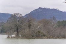
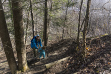
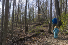
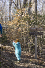
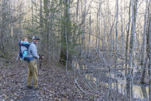
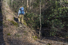
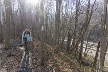
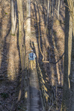
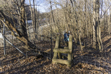
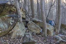
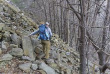
- Description: I am really torn on giving this one star versus two. The first 1.5 miles is a nice enough hike, a couple brief climbs, a ridge walk, mountain views etc. It is nice. The trail is nicely made such that Aster was able to hike the first mile which also climbed 200'. Just after the first mile the second climb is more of a typical steep Cumberland Trail affair which takes you back up to the ridge along the highway. You cross a "creek" that runs under the highway via a bridge and then quickly the hike goes south. While the highway is always noticeable, it at times is loud and is regularl able to be seen, once you cross the fence to the highway easement zone for the final quarter mile it is obnoxiously close. You literally walk between the highway and a billboard. To add to it, our day was during a freeze thaw so this part of the trail was a muddy, slippery mess. I think however, most people don't use this trail to access Devil's Racetrack. So rating it based on that last quarter mile would be unfair. Instead, I will say next time I would be more inclined to do this hike as an out and back, skipping that last quarter mile and returning via the parellel Vollunteer Loop. So, since that sounds like an appealing enough hike to me, on a nicely made trail, I am going to give this a two star hike.

Bruce Creek to Devil's Race Track
- Stars: ★ ★ ★
- Access: Bruce Creek AKA Triple Falls AKA Little Eygpt AKA Tennessee Teacups, has parking off of Shelton Hollow Rd. Most people do this as an out and back from Shelton Hollow. (Location: 36.32506, -84.22468).
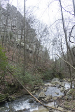
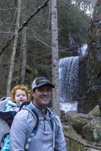
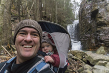
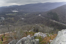
- Description: This portion of the section is done most commonly of all of these sections. Why? Because it has the most bang for your buck. The trail connects quickly to the Cumberland Trail from the parking area and quickly arrives at the waterfalls that were blasted when Highway 75 above you was routed. The falls, while articicial are impressive non-the-less. After significant rain, kayakers enjoying kayaking off all the falls! Getting above the falls is a bit steep and slick, so take care. The trail then levels off before soon crossing the creek via a bridge. Once on the other side of the bridge, the climb begins in earnest as you scale up the steep hillside to the ridge line above. Once you top out, turn right on the spur trail for the 100 yard walk up to the point which is Devil's Racetrack proper. To continue to Eagle Bluff, turn left when you top out.
Devil's Race Track to Eagle Bluff
- Stars: ★ ★ ☆
- Access: Either hike up from Cove Lake or Bruce Creek, or come in from Eagle Bluff. Getting to Eagle Bluff requires a 4-wheel drive car as Old Kentucky Rd is dirt and rutted from the North, and very steep from the South. From the North, as soon as you crest the ridge you will see the trail on your right and a parking spot for one car on your left. If you pass the house, you went to far. (Location: 36.34798, -84.19727). We did this as an out and back from the Eagle Bluff side.
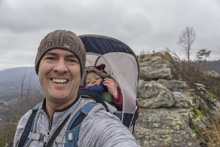
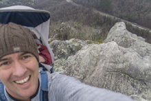
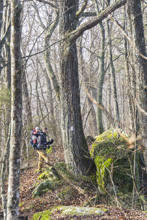
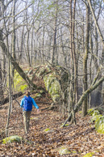
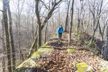
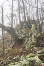
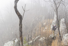
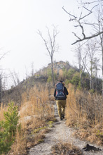
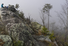
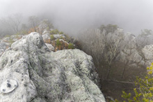
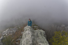
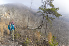
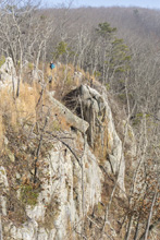
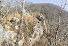
- Description: Everyone does Devil's Racetrack and apparently looks at the ridge and thinks "yea looks cool, maybe another day." From Devils Racetrack a short walk over a small null leads to the first cool section of trail where the knife edge ridge juts up prominently. After this, the hike is more of a walk in the woods until you cross the powerlines at which time more cool "rock walls" welcome you to walk along, before finishing along an old ATV trail until you arrive at the Old Kentucky Rd and Eagle Bluff.

Eagle Bluff to Tank Springs
- Stars: ★ ★ ★
- Access: Either hike up from Cove Lake or Bruce Creek, or come in from Eagle Bluff. Getting to Eagle Bluff requires a 4-wheel drive car as Old Kentucky Rd is dirt and rutted from the North, and very steep from the South. From the South, as soon as you crest the ridge you will see the trail on your right and a parking spot for one or two cars on your right. If you pass the house, you went to far. (Location: 36.35009, -84.19185). We took two cars and left one at Tank Springs (lock your car and hide valuables) and drove the other to the top. I dropped Diane and Aster off, and drove 0.7 miles back down the south side to where the steep portion of the road ended to where I was sure the minivan with its 2-wheel drive could get back to. The hike back to the trail up the 0.7 miles of road climbed about 350'.
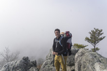
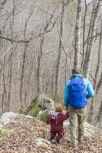
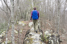
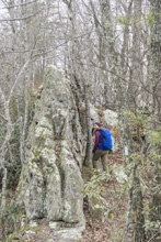
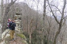
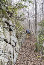
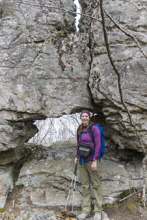
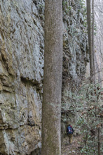
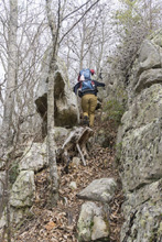
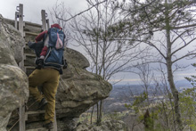
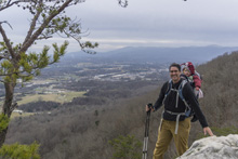
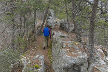
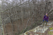
- Description: This hike was really special. There are numerous rock walls to walk on, some cliff side and some just a few feet high. There are sweeping epic views. There are steep ascents and descents. There are massive rock walls whose bases you stroll along, and a rock window to boot. Just whats not to love. Coming from Eagle Bluff to Tank Springs as a one way trip gives you all this for only ~850' of elevation gain. However for those wanting to come up from Tank Springs, you are greeted off the bat with a very steep climb that makes you earn your experience with an additional +1,000' of elevation gain!
- Note: 1/2021 I have updated the OpenStreetsMap to reflect that correct routing of the trail, which goes up Ollis Creek to where it crosses under the railbridge before starting the climb up from Tank Springs going East to West.
HTML Comment Box is loading comments... - Stars: ★ ★ ☆
A Wet State - Home Page
