Crab Orchard Segment
| Section | Sub-section | Miles | Elevation Gain West to East (ft) |
Elevation Gain East to West (ft) |
GPX File (Right click, save as) | AllTrails Link |
| Upper Daddys Creek | Full Section (North & South) | 8.1 | 970 | 960 | Link | Page |
| Upper Daddys Creek | South (Hebbertsburg Rd to Parking Lot) | 3.5 | 470 | 420 | Link | Page |
| Hebbertsburg Rd to Hebbertsburg Rd | 3.0 | 440 | 400 | Link | Page | |
| Hebbertsburg Rd to Parking Connector | 0.4 | 10 | 20 | Link | Page | |
| Parking Connector | 0.1 | 10 | 0 | Link | Page | |
| Upper Daddys Creek | North (Parking Lot to East Keyes Rd) | 5.0 | 500 | 540 | Link | Page |
| Parking Connector | 0.1 | 10 | 0 | Link | Page | |
| Parking Connector to Gorge Overlook | 1.0 | 190 | 50 | Link | Page | |
| Gorge Overlook to East Keyes Rd | 4.2 | 440 | 350 | Link | Page | |
| Devils Breakfast Table | Full Section (Peavine Rd to Devil's Breakfast Table) | 8.5 | 1,470 | 1,730 | Link | Page |
| Peavine Rd to Cove Branch | 5.2 | 960 | 990 | Link | Page | |
| Cove Branch to Devils Breakfast Table | 3.3 | 560 | 800 | Link | Page |
Upper Daddys Creek: South & North Sections
- Stars: ★ ★ ☆
Upper Daddys Creek: South Section
- Stars: ★ ★ ☆
Upper Daddys Creek: Hebbertsburg Rd to Hebbertsburg Rd
- Stars: ★ ★ ☆
- Access: On the southern side of the trail, 100 yards south of the trail itself, there is state land under the power lines that the nearby land owners mows (2020) to make a spot for a few cars (Location: 35.9481, -84.85276). The shoulder is also relatively wide near the trail so you can also park closer to the trail if that spot is full. On the northern end of this section is just shoulder parking. I didn't scope it out fully but I don't see why you couldnt make it work (Location: 35.96001, -84.83529). But realistically, now that they have the full parking lot just another half mile up the trail I don't see why you wouldn't just use that.
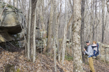
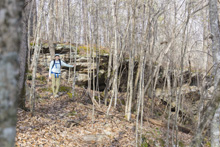
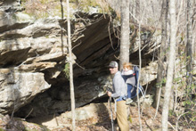
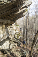
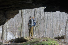
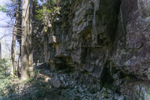
- Description: The southern portion of this hike could be categorized as a walk in the woods. It is a pleasant one though. Some nice gentle grade leads to a creek crossing and then a small climb before things level out. The last half mile though is where the nice stuff is. As you begin to descend the ridge you are greeted with a nice rock wall which culminates in a small cave before you descend the final few steps to the road.
Upper Daddys Creek: Hebbertsburg Rd to Parking Connector
- Stars: ★ ★ ☆
- Access: Should parking on the southern side, or come in from the far side of the Hebbertsburg Trail south of it. On the northern side, use the 0.1 mile parking lot connector trail to access the full parking lot (Location: 35.96616, -84.83411)
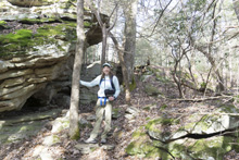
- Description: This short section is a big improvement over doing a roadwalk to connect the areas. In its short length you pack in some nice rock features. If you are looking for a very short walk, look at doing this from the main parking lot and perhaps up the trail heading south across Hebbertsburg Rd. Or, add this on as an out and back if you only intended to hike to the Overlook. Eitherway, it stands as a short little section for people to consider working into their day even if not hiking the whole trail.
- Stars: ★ ★ ☆
Upper Daddys Creek: North Section
- Stars: ★ ☆ ☆
Upper Daddys Creek: Parking Connector to Overlook
- Stars: ★ ☆ ☆
- Access: A nice full parking lot is available (Location: 35.96616, -84.83411). A short 0.1 mile connector connects into the Cumberland Trail.
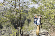
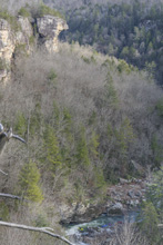
- Description: This section is commonly done as an out and back for people just wanting a short hike out to the overlook. The trail itself is just kinda a walk in the woods. The overlook is nice, but by no means epic. trees obscure the view of the water except for small windows, and at this point the canyon is only 100 ft deep or so so the grand scale is missing. For real nice canyon views head to the Devil's Breakfast Table's northern section described below. But that comes with a lot more work.
Upper Daddys Creek: Overlook to East Keyes Rd
- Stars: ★ ☆ ☆
- Access: Shoulder parking on East Keyes Rd is not super plentiful but possible (Location: 35.98673, -84.82934).
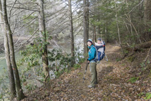
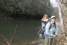
- Description: Half of this hike is a long the river, so as a river level it is weird for me to have been indifferent to this section. One small section near the campsite on the northern end does have nice gorge walls along the far side of the canyon. But, the trail is often a bit overgrown and the far side of the river is often another trail which takes away from the solitude. The hike up from the river up to East Keyes Rd was gentle enough and pleasant enough, but at the same time nothing standout. Just, a pleasant walk through the woods.
- Stars: ★ ☆ ☆
- Stars: ★ ★ ☆
Devils Breakfast Table
- Stars: ★ ★ ☆
- Access : WARNING: The Devil's Breakfast Table is within the Catoosa Wilderness Management Area, which has hunts and rest periods. The rest period is closed to all motorized traffic and occurs from February 1 to the last Friday in March. Foot traffic through hikers are still able to access the trail however. During hunts, wear bright orange fluorescent clothing. Hunting schedule is located here.
Devils Breakfast Table: Peavine to Cove Branch
- Stars: ★ ★ ☆
- Access: Parking on the South side is on the shoulder of Peavine Rd at the trail (Location: 36.00088, -84.82556). No access at Cove Branch, either out and back the trail or hike through to Devils Breakfast Table.
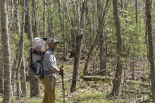
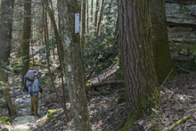
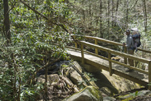
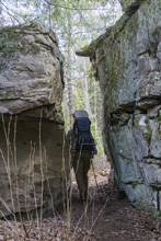
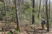
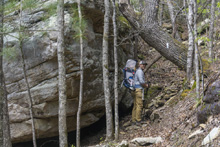
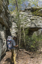
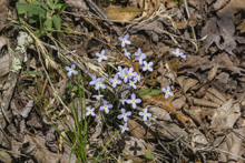
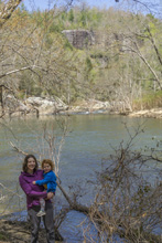
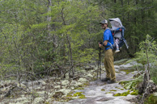
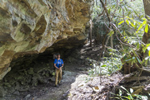
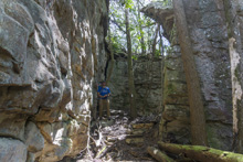
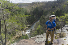
- Description: This trail was suprisingly pleasant. Being as I have kayaked it at least a dozen times, I knew that the river it self does not offer too much until you hit the canyon. But, the trail is a different story. The trail starts off flat and well groomed allowing for easy miles. Around mile 2.0, the trail bends right and descends and from here on out the trail is more typical of the Cumberland Trail, with ups and downs, bluffs, and rocky sections. We were greeted with wild flowers as we hiked this in mid April. At mile 3.6, the trail begins and steep but short descent down to the river. Once at the river, look for the trail which continues on the otherside of the washout. It then works up a side creek climbing steeply before bending and topping out. Here, you are greeted with a cool bedrock section of trail before you cross Cove Branch and go through a nice rockhouse and small canyon feature before quickly getting to the spur to the overlook which is a fitting end for this section.


Devils Breakfast Table: Cove Branch to Devil's Breakfast Table
- Stars: ★ ★ ★
- Access: The Parking on the Northern end of the trail is a large gravel lot (Location: 36.05873, -84.79242) at the base of a gravel road, just before a blocked off and partially washed away bridge. The Obed section of the trail starts just across the road from the parking. To access the Devils Breakfast Table section, cross the bridge and go 300 yards up the dirt road on the west side of the bridge. Once you finish going around the first bend, look for the marked trail dropping down to the left.
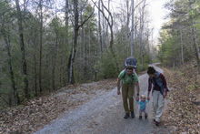
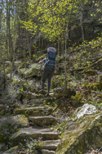
- Description: This trail is really very nice. Most people will do this as an out and back from the Devil's Breakfast Table side as you can get major bang for your buck. The beginning of the hike from the Devil's side drops down to two creeks. The second will soon have a spur trail that leads up to a large waterfall, but as of 2020 the trail was not started. Just after this, you begin to climb the grand staircase which climbs several hundred steps steeply up the canyon wall. Once above, the gradient mellows off as you side hill the plateau. Look for the unofficial (not marked) overlook spur at mile 1.8 for a great view of the canyon walls looking upstream, though the river itself is hidden. At mile 2.4 is the officially marked overlook which has views of the river below, though the canyon wall view is maybe less spectacular, though still classic plateau. Continue on to Cove Branch for a nice view of the rapids that make Daddys Creek a regional classic kayaking river.


- Stars: ★ ★ ☆
HTML Comment Box is loading comments...
A Wet State - Home Page
